

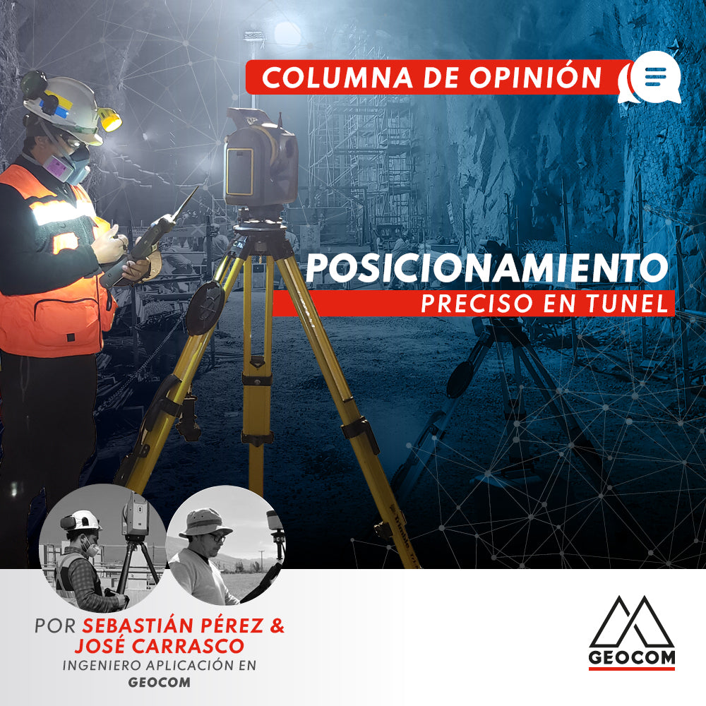

We have been witnessing for some years now how the development of technologies and processing capabilities has intensified, strongly impacting the geospatial industry. The development of massive survey sensors in tunnels is increasingly used, benefiting various disciplines. However, something vital is often overlooked: these massive, accurate, and visually appealing data are linked to the project by means of geodetic networks, which through their precision define their applicability. These networks are generated from the precise positioning of total stations, and their coordinates are determined by adjusting traverses, creating a large project backbone that serves as a starting point for survey and construction control activities.
While the workflow and experience of the specialist who designs, measures, calculates, and controls the geodetic network are vital for the success of the project, it is necessary to understand the scope of the most suitable instruments for this task, not only in terms of angular and disto accuracies but also other incorporated sensors and systems that help improve observation and fieldwork itself.
It seems like yesterday when we conducted training and support for Trimble 3600 stations with their various measurement programs, where precise observation for traverses required great experience and technique, even more so in a complex environment such as a tunnel. Later, with the development and massification of laser scanners, it was common to hear surveyors and geomensors laughingly say "we're out of a job" in our demonstrations when they saw the results obtained and how fast the measurement was.
The laser scanner, and in general, any sensor that needs to be geometrically linked to the project requires a geodetic network, so surveying will always be the backbone that supports these new instruments. Consequently, all new sensors must be analyzed and seen as a complement that extends the execution horizon of our specialty and not as a threat of obsolescence to more traditional techniques.
Today, latest-generation instruments such as the Trimble SX12 scanning total station incorporate various sensors, including a powerful laser pointer, a scanning module, a coaxial camera that replaces the optics, automatic precise targeting systems, etc. All of this allows fieldwork to be carried out by means of servo-assisted and robotic systems, from traverses, stakeouts, and scanning, to discreet and massive inspection of the progress of a tunnel project. All this is associated with powerful field controllers that allow real-time processing of large amounts of data.
At GEOCOM, we constantly try to create content about technological innovations and how they could facilitate users' daily tasks. However, some professionals still distrust the effectiveness of these technologies. It is here that we always invite users to compare both workflows for themselves.
Performing a traverse conventionally is a methodical and sometimes tedious job that does not allow for rapid analysis or data traceability, which can lead to errors in manipulation and uncertainty in the results obtained.
On the other hand, servo-assisted and robotic equipment allows for precise capture to prisms with the Autolock/Finelock engagement system, with automated cycles in direct and reversed, capturing round-trip distances, etc. In addition, the preparation of observation reports with precise data and subject to automatic reports is already part of field operations. This is complemented by the use of innovative accessories for observation such as zenith/nadir plummeting, which replaces the plumb bob with string that has historically been slow and imprecise given wind conditions, mobile consoles, and traverse kits, which allow for exhaustive control from a three-dimensional perspective, where instrument heights change to standard measurements, reducing errors associated with human intervention, allowing for previously unthinkable accuracies from a vertical perspective.
Back in the office with Trimble Business Center, it is possible to check the observations made and adjust the network by least squares. This is done in less time than the conventional method and with the possibility of generating personalized reports.
Consequently, new precise positioning technologies not only improve the accuracy of the instruments themselves but also the operating conditions of the measurement, generating traceable data with the ability to perform advanced analysis.
Precise positioning for the development of geodetic networks is the basis for subsequent survey and topographic control work. Based on these networks, free station points or resections are used in tunnels, which allow the network to be densified and daily progress and control work to be carried out. These free stations must be updated at each entry of the traverse, due to possible position changes inherent in the tunnel's dynamics due to its convergence. These activities are currently carried out rapidly with robotic total stations, which allows for high productivity.
One of the control activities is convergence observations, which can be measured after an orientation by resection, performing cycles to allow the necessary redundancy for least squares adjustment in TBC. Another activity in this regard is control through Trimble SX12 where the instrument is installed on the project's coordinate system, allowing, through the Trimble Access field software, to combine reality with design and perform inspection based on BIM models in IFC format, TXL tunnel projects, or between the point clouds themselves. Similarly, this inspection can be carried out with augmented reality, comparing the 3D model with reality on-site.
Finally, from the geodetic network, it is possible to survey the tunnel by means of a laser scanner and carry out various analyses, such as As-Built inspection and shotcrete thickness and volume calculation. As-Built inspection allows for identifying findings associated with overbreak and excessive excavation that negatively affect proper execution and costs in the mining cycle. Regarding shotcrete thickness inspection and projected volume quantification, the importance of the coordinate system for comparing different measurement campaigns returns.
Written by: Sebastian Pérez - Application Engineer Geocom / José Carrasco - GNSS & Optics Solutions Specialist


Compartir:
Scantech's calibration center is accredited to ISO/IEC 17025:2017
Infrastructure Surveying and Monitoring with Trimble SX12