

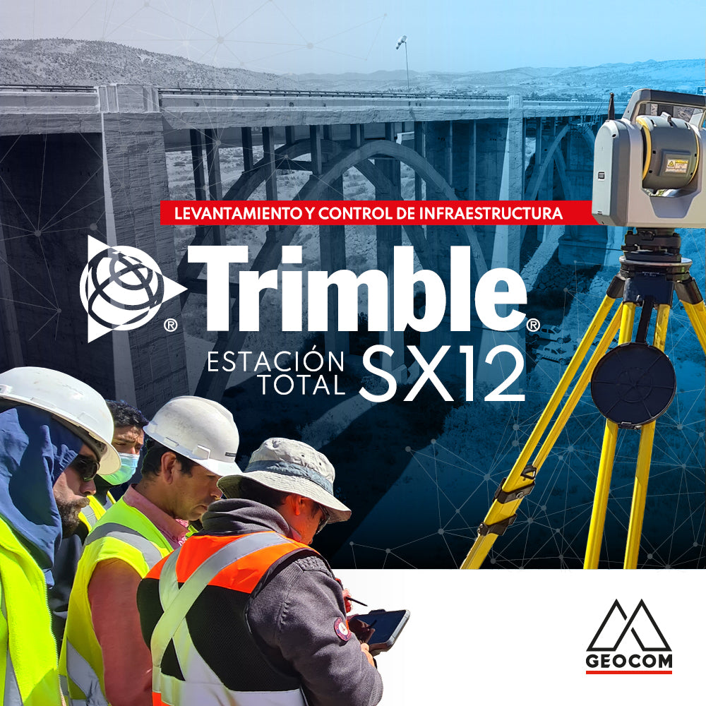

Existing condition surveys and construction control are two of the 25 BIM uses defined by the BIM Standard for Public Projects (https://planbim.cl/download/estandar-bim-para-proyectos-publicos/). The Trimble SX12 scanning total station addresses both BIM uses in an advanced way through various sensors and techniques, such as its scanning capability, automatic aiming system, augmented reality, BIM model materialization, real-time inspection, among others. Through geospatial data analysis, results are obtained that produce vital information for all stakeholders interested in the project. The Trimble SX12 becomes a great tool for project administration to control progress and its correct geometric execution.
The advantage of a scanning total station compared to a laser scanner is the possibility of making corrective measurements at the time of construction. Laser scanners generally require data processing to obtain results, which is not suitable for some activities due to the immediacy required for solutions.
To test the Trimble SX12, we set out to geometrically represent the Limarí bridge, which is part of Route 5 North, with a length of 250 meters and a height of approximately 30 meters. In this type of project, where access is generally difficult, it is often not possible to be located in the riverbed itself to perform measurements, nor do traditional 3D scanning procedures using spheres and targets work well, and registration based on cloud overlap depends on factors external to the observation. This is due to the long distances required, consequently resulting in low density over the structure or often no overlap between positions for the registration process.
Geodetic control
In this project, the Trimble SX12 scanning total station is used by observing a local geodetic network, taking points established from higher hierarchies as reference. Through the automatic prism lock system, high-precision observations are made, guaranteeing the determination of the instrument's position and orientation by measuring automated cycles. This forms the reference base for the point cloud, meaning that from a high-precision geodetic determination, the Trimble SX12 allows orienting the point cloud as well as performing topographic control operations.
Specifically, five positions were performed with the Trimble SX12: four of them under the concept of free station and only one scanning station. The free stations were performed by observing at least two fixed points through four series of observations on both faces of the instrument. This operation directly obtains the position and orientation of the instrument in the field. However, despite having determined the coordinates and orientation of the instrument, it is still possible to adjust the geodetic network to include a precision determination.
For example, position EL1 had an error of 1.6” in the determination of orientation, considering that from that position, 2 fixed points were observed. This is extremely important given that in the free station, not only is the instrument's position calculated, but also its orientation, which is deeply linked to the geometry of the fixed points.

After this, the geodetic network is adjusted, obtaining an average precision of 3.5 mm in east, 8 mm in north, and 5.9 mm in elevation at 95%. On the other hand, the fifth station was determined from the registration of the point cloud.


High-density scanning
Trimble SX12 features proprietary scanning technology that combines highly dense point clouds with photographs. Given the positioning and orientation method used by Trimble SX12, the resulting data is less susceptible to atmospheric conditions and variations in surface types, making it possible to capture accurate data at longer distances, an ideal condition for large infrastructure projects.
The Trimble SX12 offers high precision in its point cloud, even at long distances, providing a range noise of 1.5 mm at 200 m over most surfaces (18%-90% reflectivity) and a 3D accuracy of 2.5 mm at 100 m in its scanning mode. Regarding point cloud resolution, the SX12 has a point density of 6.25 mm at 50 meters. Ideal for measurements where it is not possible to get close and where a high representation of reality is needed.

BIM model materialization
Topographic staking has evolved from using simple points to plans and surfaces, and now directly from 3D models through the IFC format, with the possibility of incorporating an augmented reality environment that simplifies understanding the results directly on site, facilitating the execution and comprehension of the project.
On the other hand, deviations in the materialization of structures are frequent in construction projects, which are detected late, directly affecting the quality, planning, and costs of the project. Through the Trimble SX12 scanning total station, it is possible to control the materialization of the BIM design in the field, through topographic staking directly using 3D models, visual inspection by means of augmented reality, and 3D inspection in the field of the design to detect any construction deviation from its design, allowing corrective measures to be taken in a timely and appropriate manner.
This is fundamental since repair costs are generally high and involve other problems. It is important to ensure the correct placement of the constructed elements, taking the design as a reference, avoiding construction deviations that cause delays in the work and cost overruns.

Real-time inspection
The Trimble SX12 scanning total station with its Trimble Access field software allows real-time inspection from the point cloud acquired by comparing it with a 3D model in IFC format - the universal BIM standard - making it possible to identify and measure deviation zones resulting from a lack of topographic control or the construction process of the structures itself. Furthermore, multiple inspections can be performed by comparing the point cloud from a previous measurement campaign with the current one of the same sector, thus identifying changes quickly.

Trimble Clarity
One of BIM's characteristics is collaborative work. All data collected by SX12, whether point clouds or panoramic images, can be shared with various project stakeholders, ensuring that the information is always unique, up-to-date, traceable, and easily accessible for both office and field personnel.
Trimble Clarity is a web browser-based viewer for sharing point cloud data and 3D models, which can be used on any internet-connected device without needing third-party software installed.
The various stakeholders on the construction site can consult the design model and its changes, work progress, general dimensions, etc., simply and quickly.

Compartir:
OP-ED | Precise positioning in tunnels
New 3D Systems licensing system