


Next-generation inclined measurement
Trimble R12i GNSS with TIP technology achieves improved horizontal accuracy of 3 mm + 0.15 mm/° starting with firmware 6.43, enabling highly accurate tilted measurements even in complex environments.
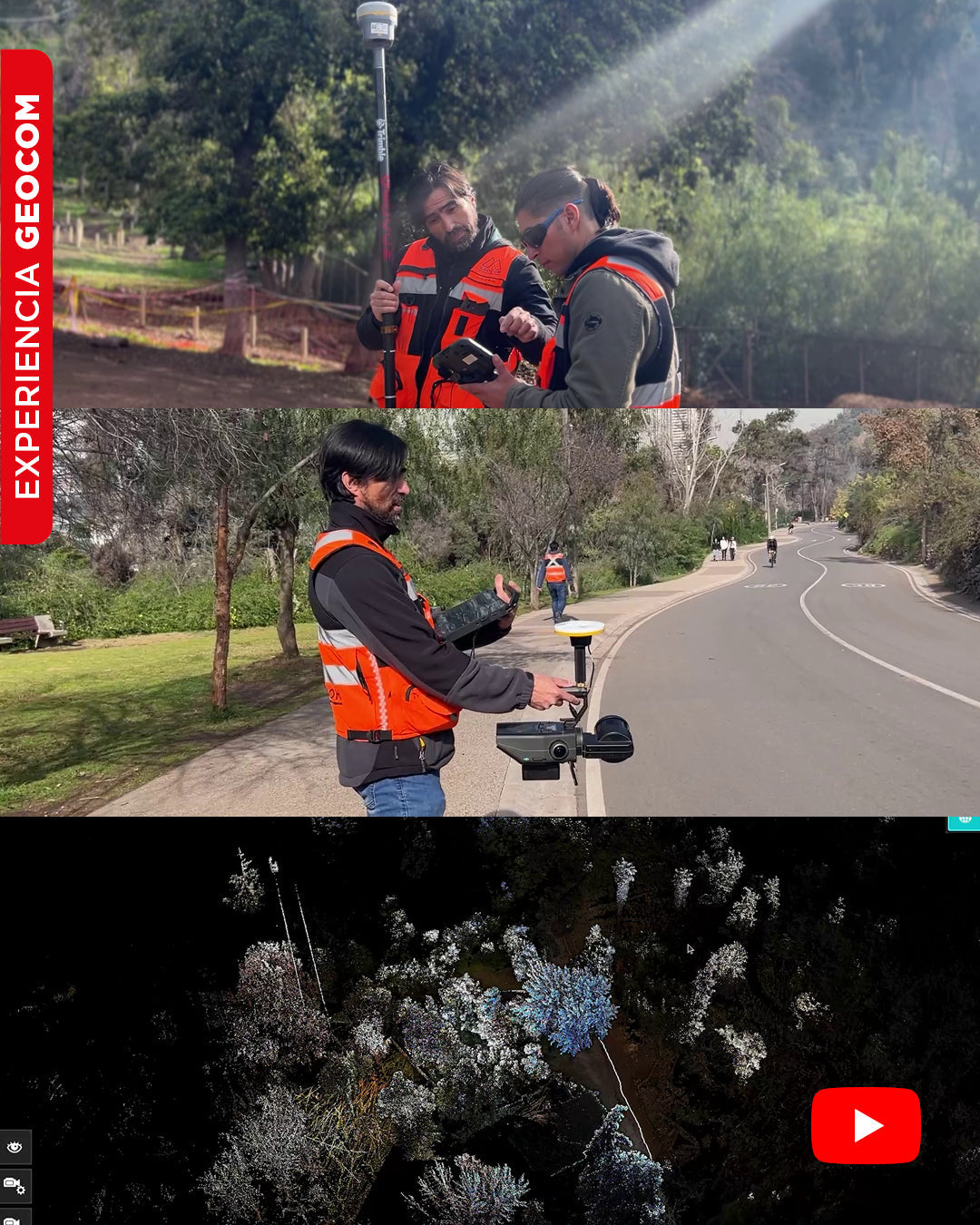
SLAM Technology in action: A real experience in the Metropolitan Park
In this video, we will show you an experiment carried out in Met Park, with the aim of obtaining a georeferenced point cloud using SLAM Exyn Nexys technology.
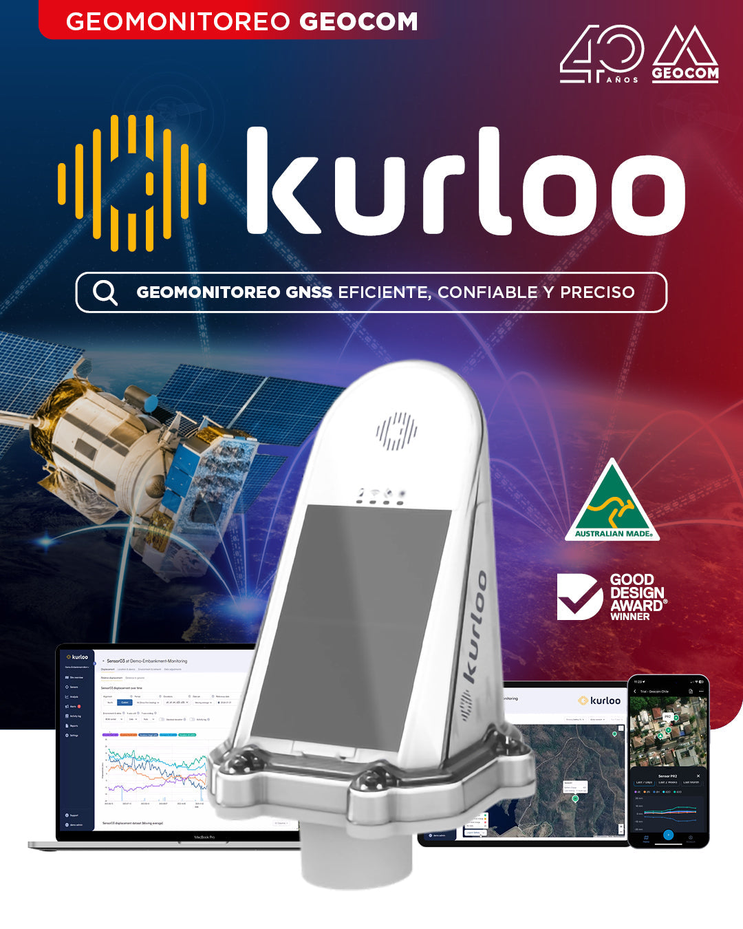
GEOCOM Launches Kurloo: The Autonomous, High-Precision GNSS Geomonitoring System
We announce the official launch and incorporation of GNSS receivers from the Australian company Kurloo into our Geomonitoring portfolio.
![[Santiago 📍 Workshop] Procesamiento y ajuste de datos GNSS](http://www.geocom.cl/cdn/shop/articles/post_ig_WORKSHOP_Procesamiento_de_datos_GNSS_c8d3d72e-5d9e-40b8-b192-5dbe55e82871.jpg?v=1753371969&width=1080)
[Santiago 📍 Workshop] GNSS Data Processing and Adjustment
THURSDAY, AUGUST 21 | 09:00 AM TO 01:30 PM | GEOCOM STUDIES CENTER
In this workshop, we will present different examples developed with TBC (Trimble Business Center) tools to optimize the GNSS network design, processing, adjustment, and deliverables process.
![Representación topográfica a partir de GNSS-RTK [03 CICLO TBC]](http://www.geocom.cl/cdn/shop/articles/post_ig_ciclo_TBC3.jpg?v=1748445020&width=1080)
Topographic Representation using GNSS-RTK [03 TBC CYCLE]
PUBLICATION 03 | TBC CYCLE | GEOCOM Engineering
The integration between Trimble Access, feature libraries, and Trimble Business Center allows for the creation of professional-quality graphic products, significantly reducing processing times and minimizing errors in terrain representation.
![Densificación geodésica a partir de datos GNSS [02 CICLO TBC]](http://www.geocom.cl/cdn/shop/articles/post_ig_ciclo_TBC2.jpg?v=1746715775&width=1080)
Geodetic densification from GNSS data [02 TBC CYCLE]
PUBLICATION 02 | TBC CYCLE | GEOCOM Engineering
In this example, some observation and calculation strategies for densifying SIRGAS-Chile will be reviewed using GNSS observations in a context associated with a topographic representation.
![Representación topográfica en TBC [01 CICLO TBC]](http://www.geocom.cl/cdn/shop/articles/post_ig_ciclo_TBC1_47d4cfed-4ef8-4b97-9369-3526de5313c6.jpg?v=1746040063&width=1080)
Topographic Representation in TBC [01 TBC CYCLE]
PUBLICATION 01 | TBC CYCLE | GEOCOM Engineering
TBC allows for a convenient combination of geospatial observation techniques with the goal of delivering results obtained under a single platform, optimizing the office workflow.
![[Santiago] Workshop | GNSS/TBC Procesamiento y ajuste de datos](http://www.geocom.cl/cdn/shop/articles/post_ig_WORKSHOP_Procesamiento_de_datos_GNSS.jpg?v=1745510758&width=1080)
Workshop | GNSS/TBC Data Processing and Adjustment
TUESDAY, MAY 13 | 09:00 TO 16:30 | GEOCOM STUDY CENTER
In this workshop, we will present different examples developed with TBC (Trimble Business Center) tools to optimize the GNSS network design, processing, adjustment, and deliverable process.
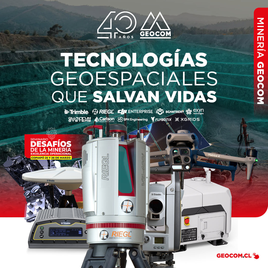
GEOCOM: Technological Innovation for Mining Safety in Copiapo
On March 22 and 23, GEOCOM actively participated in the seminar "Mining Challenges: Operational Excellence," an event organized by the Industrial Journalistic Group in the city of Copiapó.
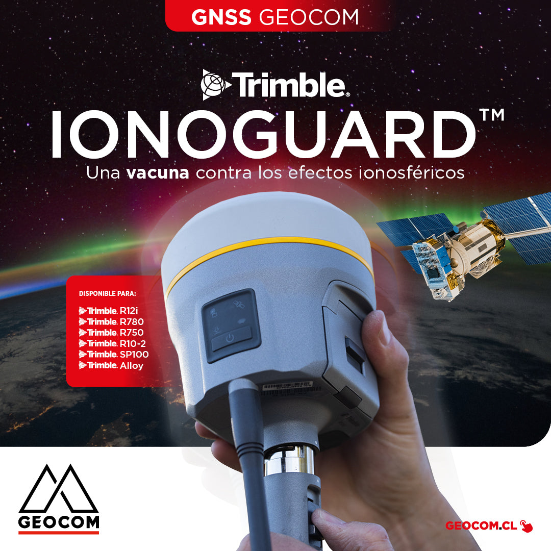
Trimble IonoGuard: A Vaccine Against Ionospheric Effects
IonoGuard works on Trimble GNSS receivers that operate with the ProPoint real-time processing engine (R12i, R780, R750, R10-2, SP100, Alloy)
![[LA SERENA] Curso Presencial | PROCESAMIENTO DE DATOS GNSS Y GEODESIA 4D](http://www.geocom.cl/cdn/shop/articles/POST_Curso_GNSS_y_Geodesia_4D_-_INACAP_La_Serena_84d74ddd-aad2-4f34-aa21-5e1b3b4e40a6.jpg?v=1737490321&width=1080)
[LA SERENA] In-Person Course | GNSS DATA PROCESSING AND 4D GEODESY
MARCH 5 and 6 | 09:00 AM TO 06:00 PM | INACAP LA SERENA AUDITORIUM
This course will review theoretical and practical concepts through the use of Trimble RTX and Trimble Access in engineering and geomatics applications.
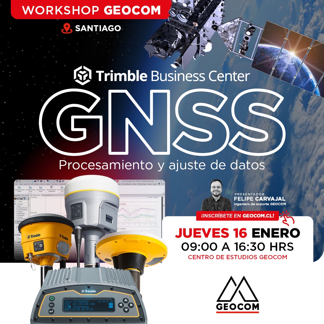
Santiago Workshop | GNSS Data Processing and Adjustment in TBC
THURSDAY, JANUARY 16 | 09:00 AM TO 04:30 PM | GEOCOM STUDY CENTER
In this workshop, we will present different examples developed with TBC (Trimble Business Center) tools to optimize the process of GNSS network design, processing, adjustment, and deliverables.
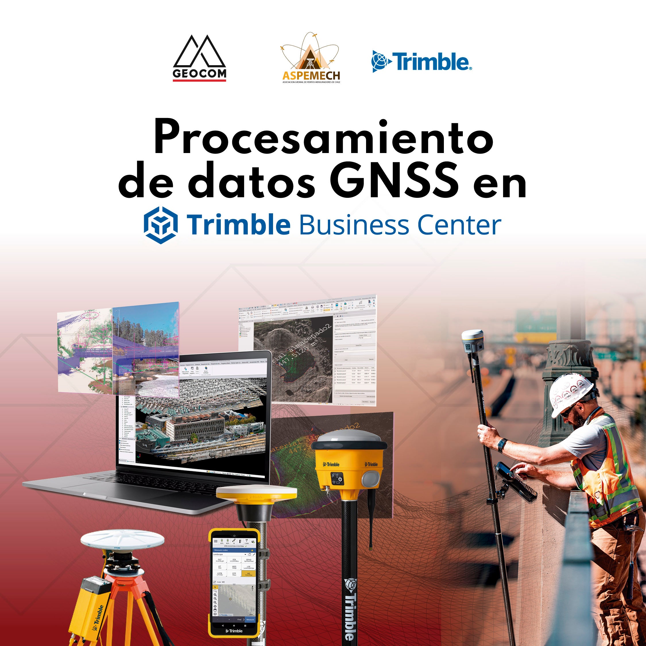
GEOCOM welcomes ASPEMECH for GNSS and 4D Geodesy training
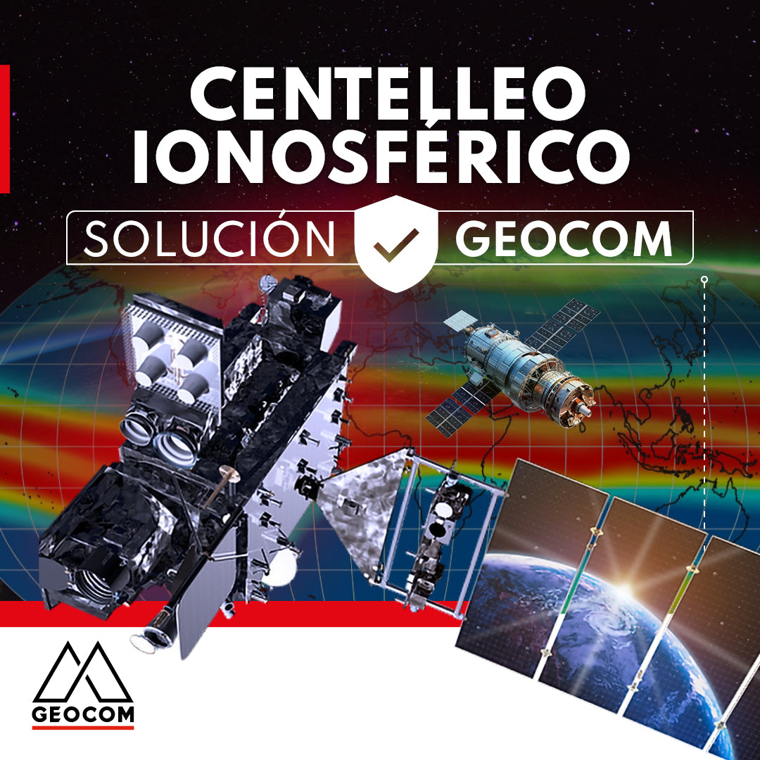
GEOCOM presents a solution for ionospheric scintillation
This article reviews the impact of the solar cycle and ionospheric scintillation on GNSS users and manufacturers. In addition, GEOCOM's developments and technology to mitigate these effects on satellite positioning are presented.
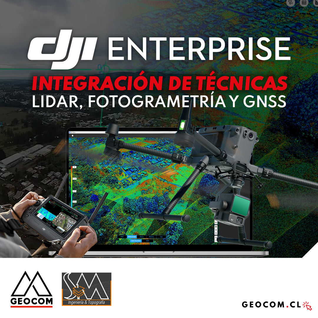
DJI Drones | Integration of LiDAR, Photogrammetry, and GNSS Techniques
Success story, where a project was executed integrating different geospatial capture techniques, using a DJI M350 drone with two sensors: Zenmuse P1 for photogrammetry and Zenmuse L2 for LiDAR. In this article, we will review the key points that made the use of both sensors necessary to provide a more representative and accurate capture of the area.