

![Representación topográfica a partir de GNSS-RTK [03 CICLO TBC]](http://www.geocom.cl/cdn/shop/articles/post_ig_ciclo_TBC3.jpg?v=1748445020&width=1080)
Topographic Representation using GNSS-RTK [03 TBC CYCLE]
PUBLICATION 03 | TBC CYCLE | GEOCOM Engineering
The integration between Trimble Access, feature libraries, and Trimble Business Center allows for the creation of professional-quality graphic products, significantly reducing processing times and minimizing errors in terrain representation.
![Densificación geodésica a partir de datos GNSS [02 CICLO TBC]](http://www.geocom.cl/cdn/shop/articles/post_ig_ciclo_TBC2.jpg?v=1746715775&width=1080)
Geodetic densification from GNSS data [02 TBC CYCLE]
PUBLICATION 02 | TBC CYCLE | GEOCOM Engineering
In this example, some observation and calculation strategies for densifying SIRGAS-Chile will be reviewed using GNSS observations in a context associated with a topographic representation.
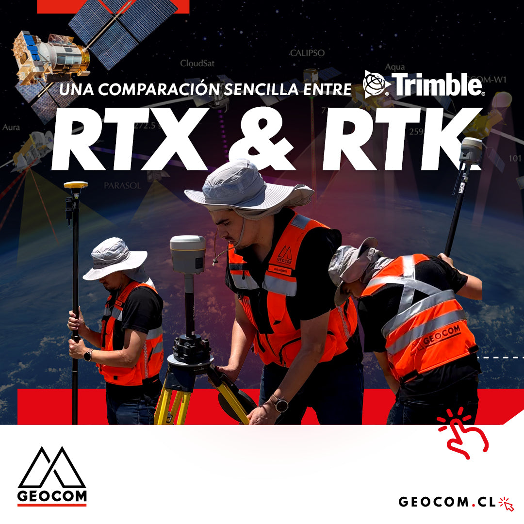
A Simple Comparison Between Trimble RTX & RTK
Trimble has delved deeper into the PPP technique through Trimble RTX, which can be used either in real-time or post-processing. Now, in terms of compatibility, the questions that arise are: Is RTX compatible with determinations made in RTK? Can RTX and RTK data coexist in the same project?

Trimble ProPoint Engine: Next-Generation Centimeter-Level Positioning and Orientation
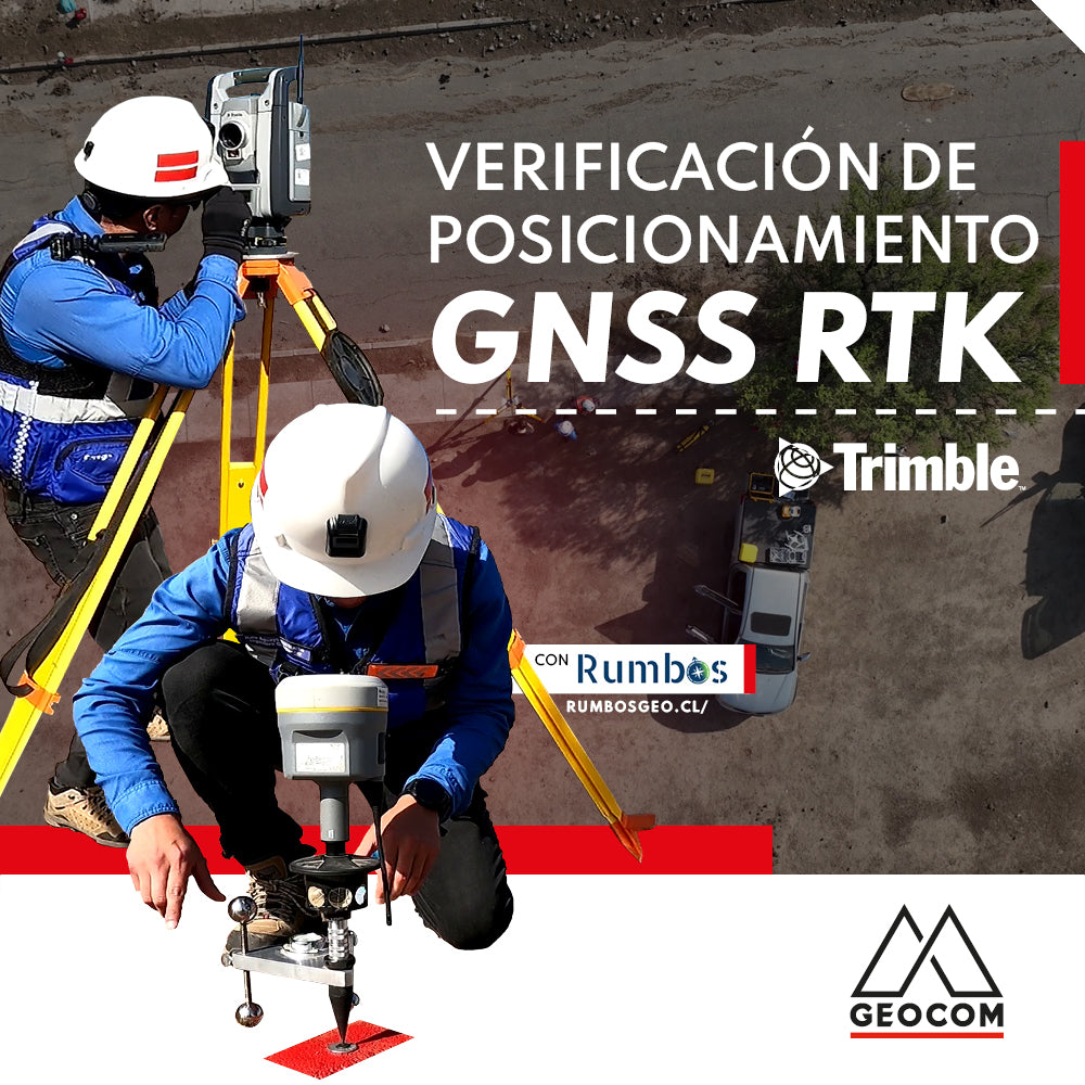
RTK GNSS positioning verification
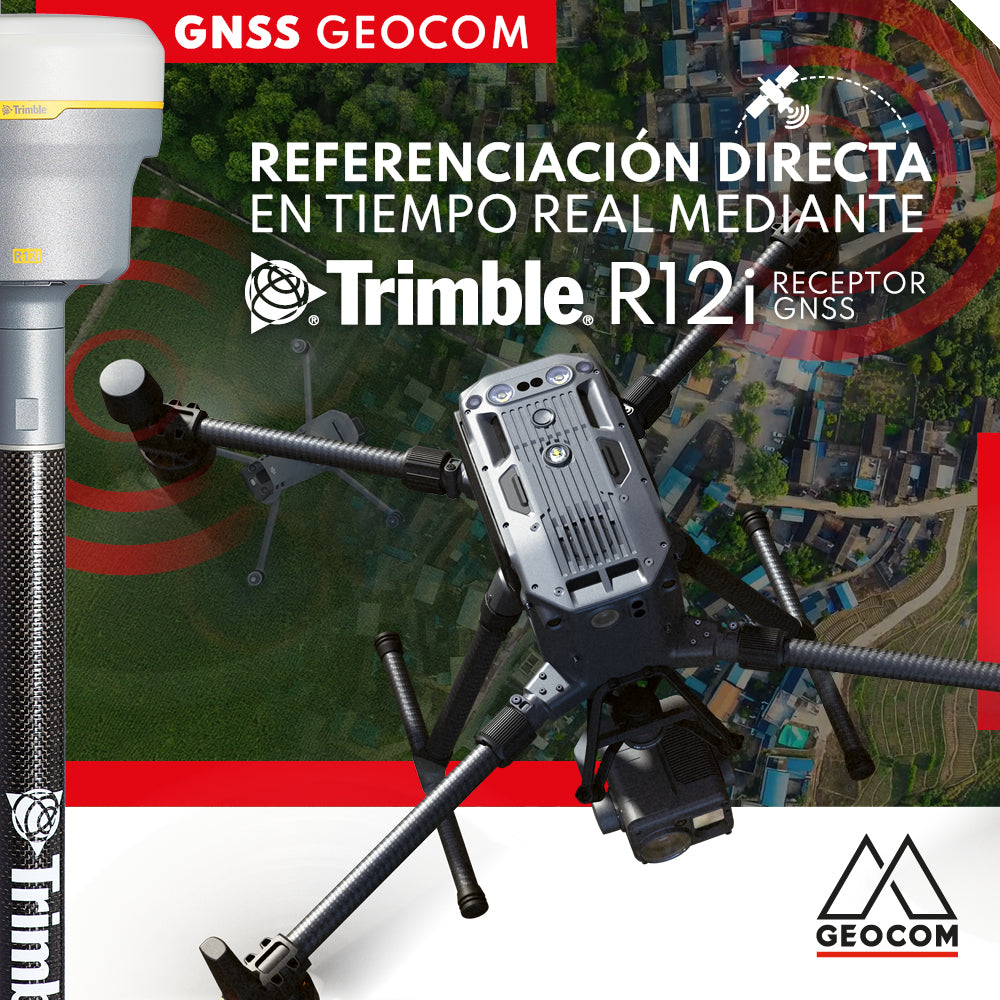
Real-time direct referencing with Trimble R12i

Case 5 Trimble R12i | Drone integration
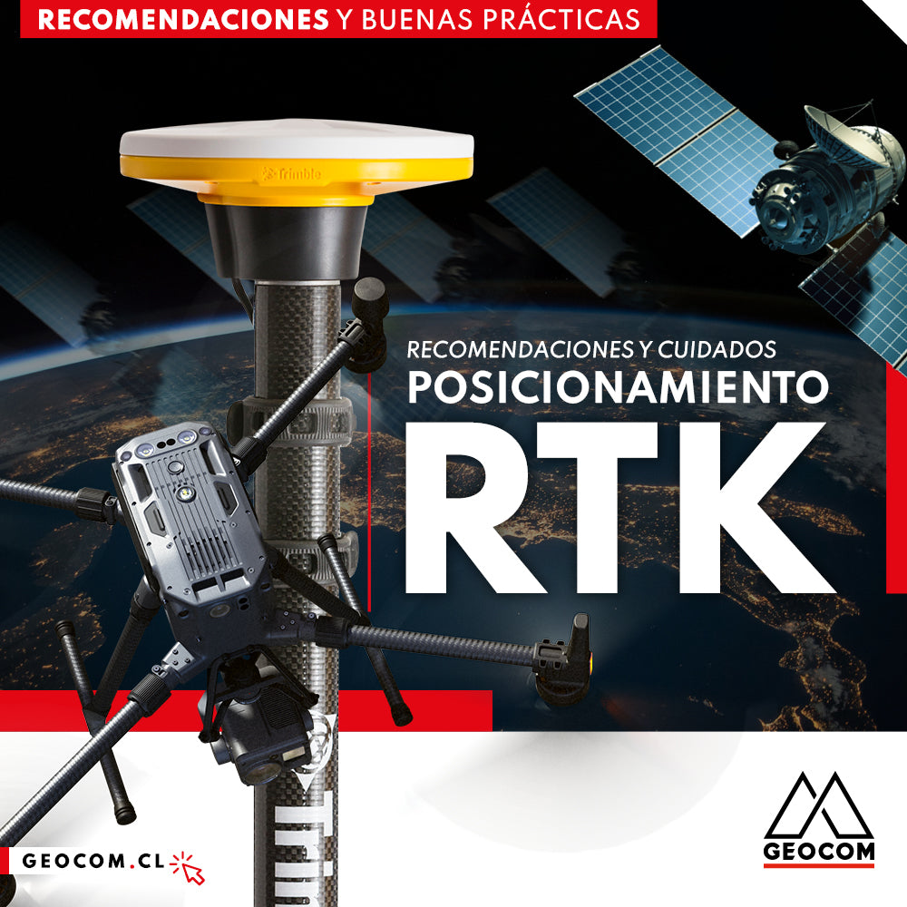
RTK Positioning: Recommendations and Care

RTK DIRECT GEOTAGGING IN DRONES
A turning point occurred in 2015 with the arrival of the first drones with direct PPK georeferencing, which, through post-processing, allowed for obtaining precise coordinates of photographs without the need for ground control points and without sacrificing accuracy.

ProPoint™ Technology in Trimble DA2
One of the requirements for proper GNSS observation is to have a clear sky to achieve good tracking of the signals sent by the satellites. This requirement seems to be an unavoidable condition for GNSS; however, Trimble has introduced significant improvements in the RTK processing engine for its new GNSS receivers.

Trimble R12i as an internet base station
Why not consider a roving GNSS base that can broadcast differential corrections over the internet? This is precisely what Trimble R12i achieves.
