

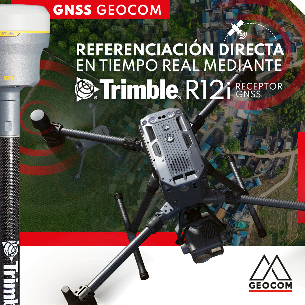

The exponential growth in the use of UAS & Drones for geomatics and surveying applications in recent years has posed various challenges mainly related to the automation of data capture and georeferencing processes, primarily seeking to optimize these tasks. As a result, the industry has evolved from indirect referencing (requiring GCPs or Ground Control Points) to a direct referencing approach, meaning that GCPs can be dispensed with, and their role can be shifted to verifying the quality of the photogrammetric products obtained.

Currently, direct referencing can be approached using two methods based on GNSS positioning principles: PPK (Post Processed Kinematics) and RTK (Real Time Kinematic):
- Direct PPK referencing: This technique requires a GNSS base station installed at a point with known coordinates, which must be logging data at a 1-second rate while a photogrammetric flight is being conducted. Subsequently, a post-processing workflow developed in Trimble Business Center and Geocom UAS Sync provides precise coordinates for the photographs, eliminating the need for ground control points without sacrificing accuracy.
- Direct RTK referencing: This allows us to obtain precise coordinates of the photographs in situ (without post-processing), which are stored in the EXIF (Metadata) of each one, thus ensuring centimetric positioning accuracy. Under this modality, we find different integrable solutions through Trimble's GNSS portfolio and DJI solutions.
- Connection with DJI D-RTK 2 base: The remote controller connects directly to the D-RTK 2 base via local WiFi to receive differential corrections and then sends them to the drone. This modality is fully developed by DJI solutions and is specially designed for inspection activities where precise and stable drone navigation is sought in areas with interference (for example, power line inspection).

- Local network connection: The GNSS receiver emits a local WiFi signal, to which the drone's remote controller connects to receive differential corrections and then sends them to the drone via telemetry. For this, the GNSS receiver must have the ability to send these corrections via the internet. Currently, Trimble's modular Alloy, R750 receivers and the integrated R12i receiver have this feature:

- Internet connection: Both the GNSS receiver (or reference station) and the DJI drone's remote controller must have an internet connection to access the same online server. The receiver sends differential corrections to the server, and the controller then accesses it to extract and transmit them to the drone.

Both local network connection and internet access are geared towards surveying solutions, being mainly used for the generation of accurate photogrammetric products.
Learn more about DJI workflows and their automated integration with Trimble GNSS receivers at geocom.cl
Questions? Email us at uas@geocom.cl
Compartir:
RTX: Over a decade of precise point positioning
Webinar | DJI Zenmuse L1: From Data Acquisition to Final Product