


Next-generation inclined measurement
Trimble R12i GNSS with TIP technology achieves improved horizontal accuracy of 3 mm + 0.15 mm/° starting with firmware 6.43, enabling highly accurate tilted measurements even in complex environments.

Trimble GNSS | Mine Plant Survey
GNSS in its RTK mode has become a standard for conducting topographic surveys due to its high productivity and ease of observation. Furthermore, by adding automatic drawing tools, the use of GNSS is tremendously beneficial.

Point Cloud Georeferencing | Trimble R12i
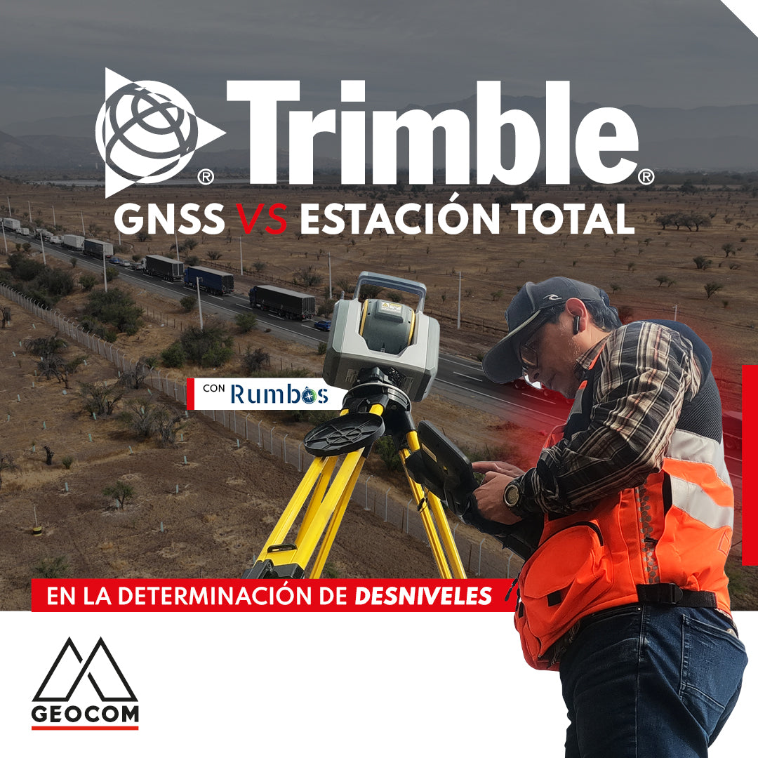
GNSS vs Total Station in determining elevation differences
To compare the determination of height differences using GNSS and total station, a 5 km itinerary is carried out, consisting of 11 materialized points spaced every 500 m, producing a total of 10 height differences, which are observed directly using GNSS and total station.
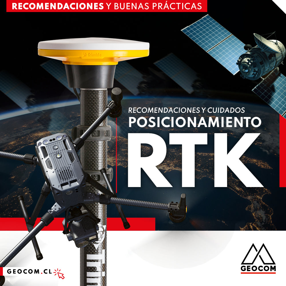
RTK Positioning: Recommendations and Care
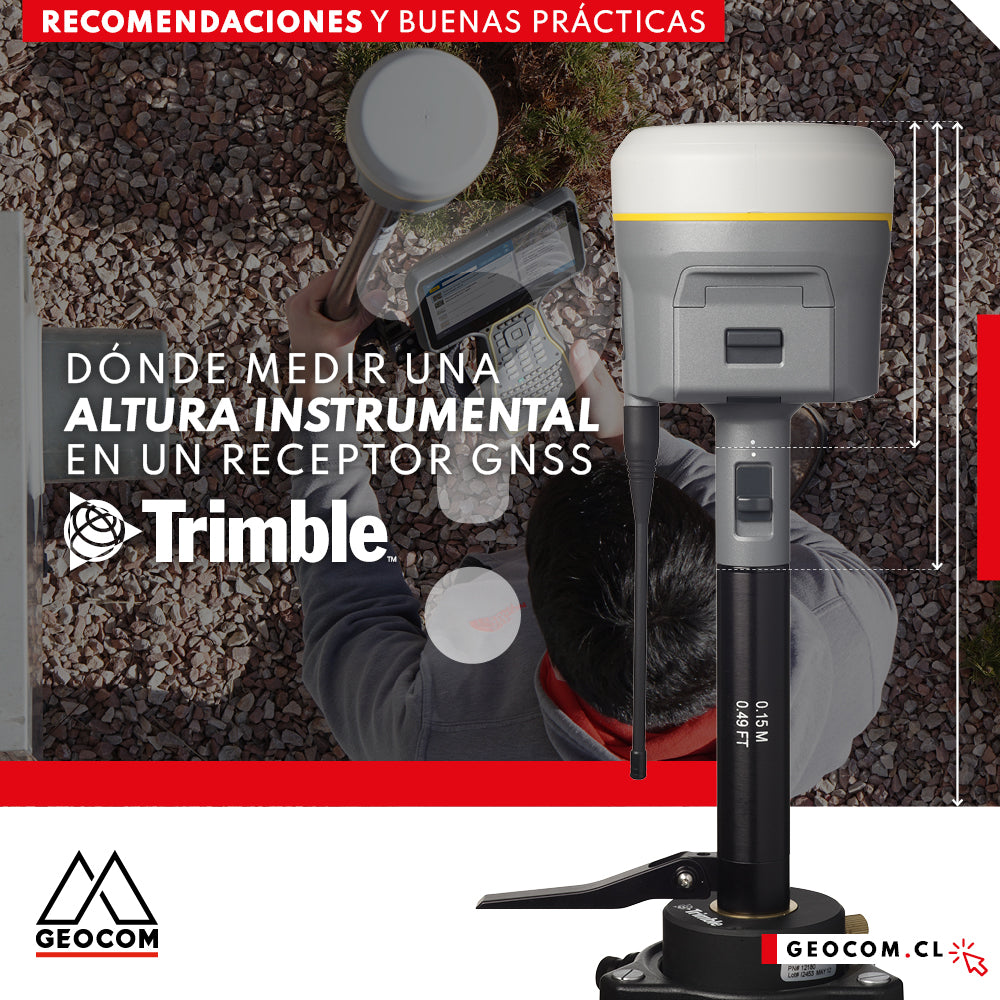
Where to measure an instrumental height on a Trimble GNSS receiver?

Trimble R12i Experience | Case 1
Our colleague Frank Núñez demonstrates a Trimble R12i GNSS system in a very common operation, showing the gain in productivity without sacrificing precision, based on two fundamental elements of Trimble technology: ProPoint and TIP.

Trimble R12i as an internet base station
Why not consider a roving GNSS base that can broadcast differential corrections over the internet? This is precisely what Trimble R12i achieves.
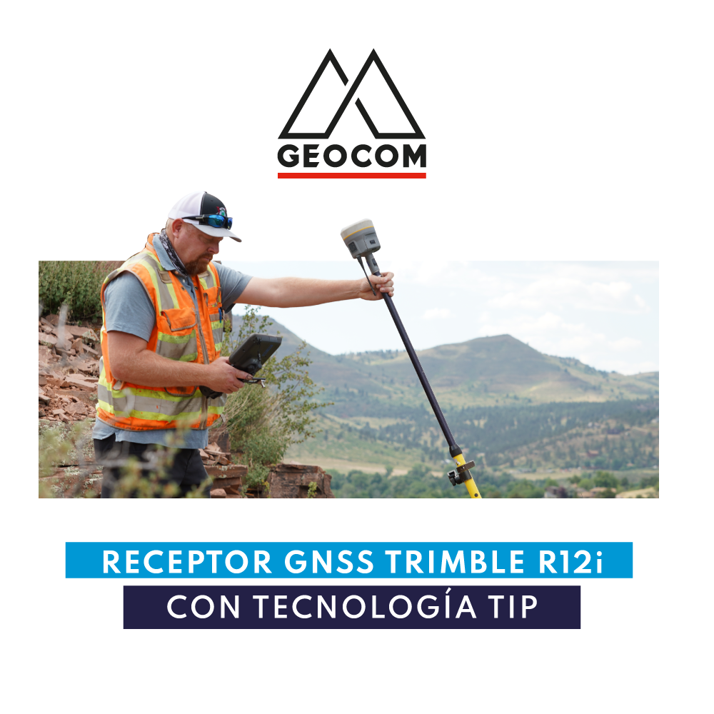
Trimble R12i GNSS Receiver with TIP Technology