

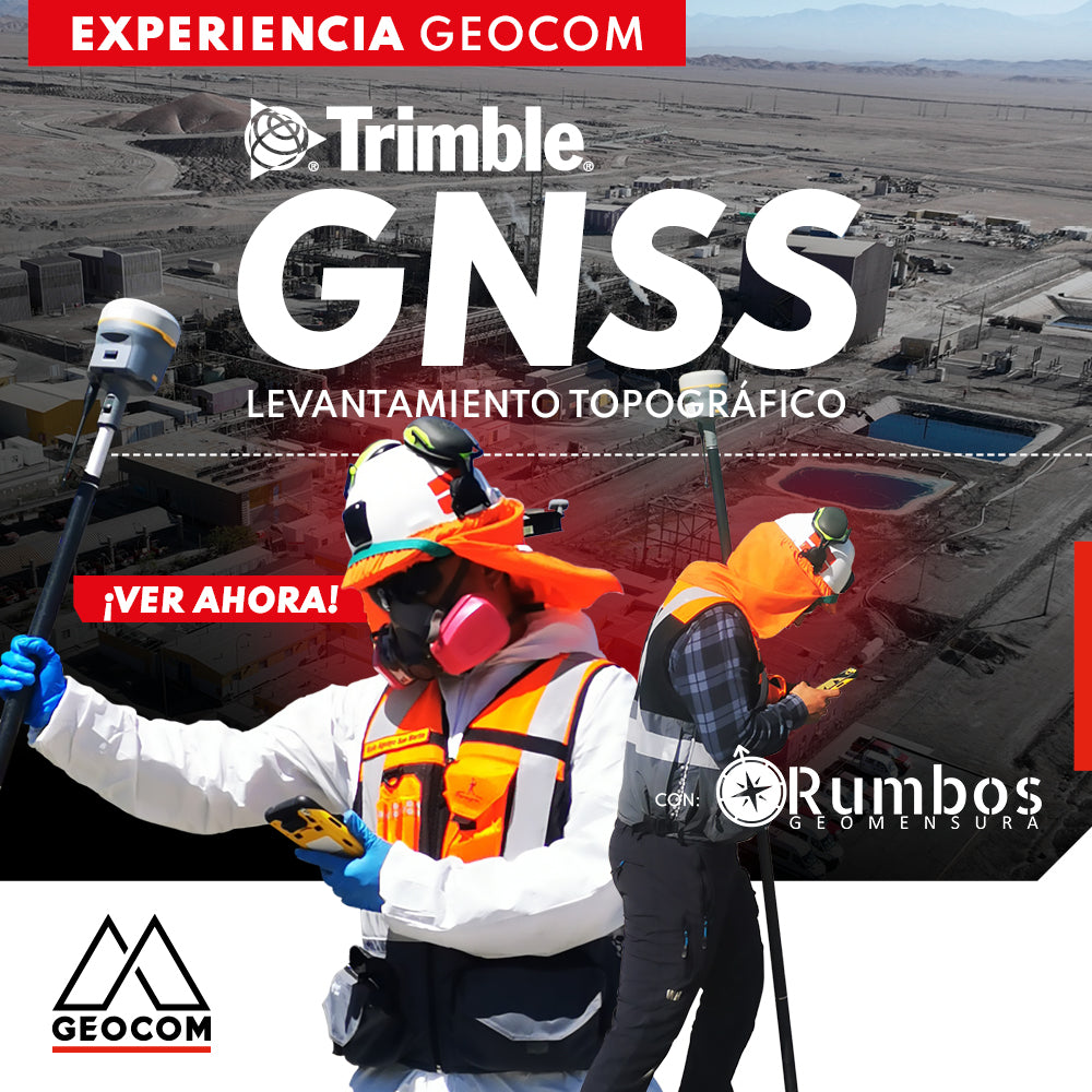

Trimble GNSS: Topographic survey of a mining plant
Rumbos Geomensura Experience
GNSS in its RTK mode has become a standard for conducting topographic surveys due to its high productivity and simplicity in making observations. Additionally, with the integration of automatic drawing tools, the use of GNSS is tremendously beneficial.
Trimble R12i, together with Trimble Access, has everything necessary to perform topographic surveys, considering three fundamental concepts: precision, reliability, and productivity, which all refer back to ProPoint. While it is true that GNSS requires a clear satellite window to make its observations, ProPoint extends the domain of GNSS to places where other GNSS typically do not perform well. Furthermore, Trimble R12i features TIP, which allows for measurements with the antenna tilted, achieving two objectives: improving the satellite window and enabling the measurement of a point whose position prevents conventional measurement.
Finally, TBC is the best alternative for reviewing GNSS RTK data through quality control to then achieve a graphic representation via a properly formatted sheet.


Compartir:
Trimble Business Center: Geometric Leveling
Quantum Systems Trinity Pro | Comprehensive Photogrammetric Flight Experience