

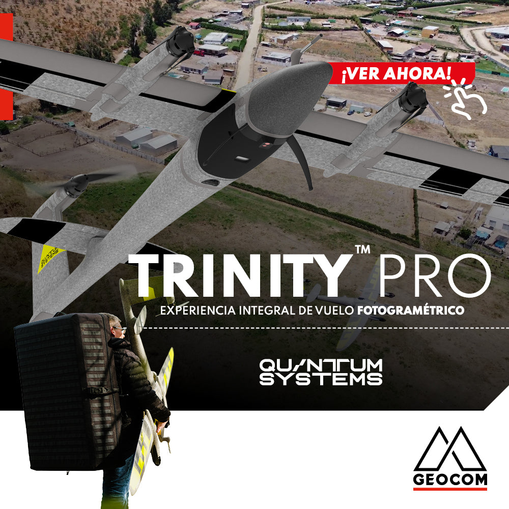

Quantum Systems Trinity Pro: Comprehensive Photogrammetric Flight Experience
Peñaflor, Metropolitan Region
In our recent mission, we have completed a comprehensive photogrammetric flight experience, utilizing cutting-edge technology to deliver high-precision and quality results. Here is a summary of our process ↓:
Strategic Planning: From area selection to defining flight altitude and expected GSD, each step was meticulously carried out. Our team conducted site visits to ensure optimal flight planning, determining the final flight polygons to maximize efficiency and coverage.


Geodetic Support Network: Precision is our priority. We used the Trimble R12i GNSS receiver as a base, linked to the SNTI active station of the Geocom GNSS network. This network provides solid support for our flights, ensuring the accuracy of our data at every step of the process.

Ground Control Points: To ensure the accuracy of our results, we implemented ground control points (GCPs). These carefully placed and surveyed points are essential for the success of our photogrammetric flight.

Photogrammetric Flight with Trinity Pro UAV: Our fixed-wing UAV, the Trinity Pro, carried out the flight with precision and efficiency. Its VTOL capability and high energy efficiency allow for flights of up to 90 minutes per battery! Subsequently, we used Trimble Business Center (TBC) software for data processing, generating high-quality deliverables.

The ease and efficiency of TBC allowed us to execute the entire workflow in a single software! From processing flight images to final delivery, each stage was carried out smoothly and seamlessly, providing our clients with accurate and reliable results.

In summary, our complete photogrammetric flight experience with the Trinity Pro fixed-wing UAV, backed by Trimble's cutting-edge technology, guarantees exceptional results in every project. Contact us to discover how we can take your project to the next level!
Compartir:
Trimble GNSS | Mine Plant Survey
LevelMe: Precision Trigonometric Leveling