


Trimble R12i: Point Cloud Georeferencing
Rumbos Geomensura Experience
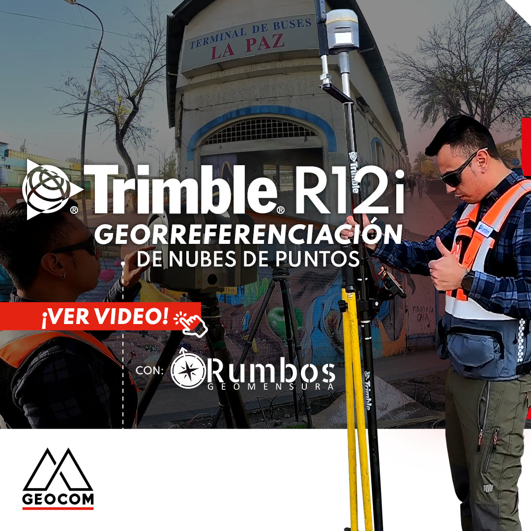
Laser scanning technology allows for highly detailed topographic representations, proving useful in engineering and architecture. This trend is known as Reality Capture, which incorporates the use of highly densified point clouds as well as images with known pose (position and orientation). On the other hand, the Reality Capture technique is extremely simple due to a series of technological advancements related to both software and instruments. However, this technique needs to be complemented by good surveying practices to obtain precise and reliable results, especially when facing challenging environments.
In this sense, high-precision georeferencing for scanning stations is an excellent example of combining Reality Capture processes with geodetic techniques. While Rumbos Geomensura performs scans with a Trimble TX6 to obtain a highly representative point cloud, they also determine high-precision positions with Trimble R12i, providing the expected global reference as demanded by a variety of industries.
Finally, the combination of both techniques, first registering the scanning stations and then georeferencing the point cloud, results in a reliable final product thanks to the Trimble Business Center Scanning module.


Compartir:
BLACKWEEK GEOCOM | NOVEMBER 23-28
Total Stations in Geomonitoring: Performance and Continuous Installations