

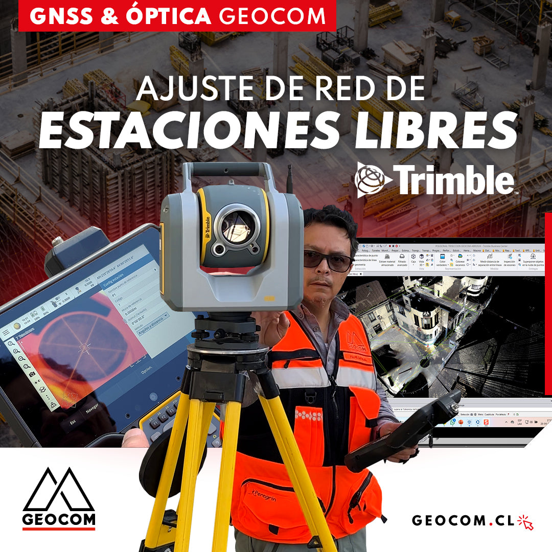
Free Station Network Adjustment
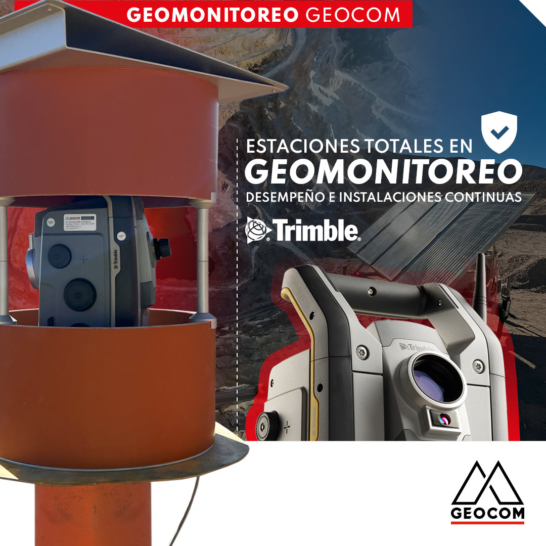
Total Stations in Geomonitoring: Performance and Continuous Installations

Trimble S7 | Advanced Robotic Solution
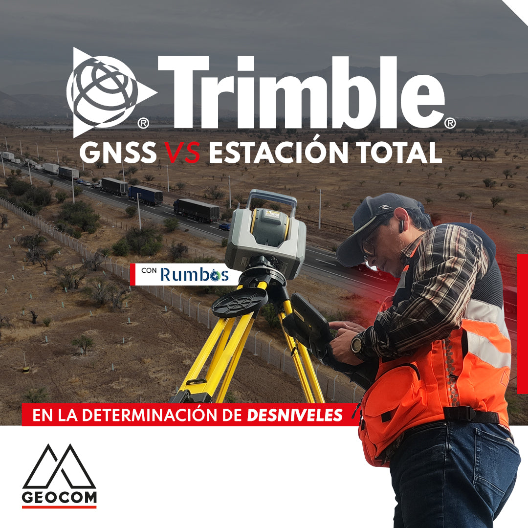
GNSS vs Total Station in determining elevation differences
To compare the determination of height differences using GNSS and total station, a 5 km itinerary is carried out, consisting of 11 materialized points spaced every 500 m, producing a total of 10 height differences, which are observed directly using GNSS and total station.
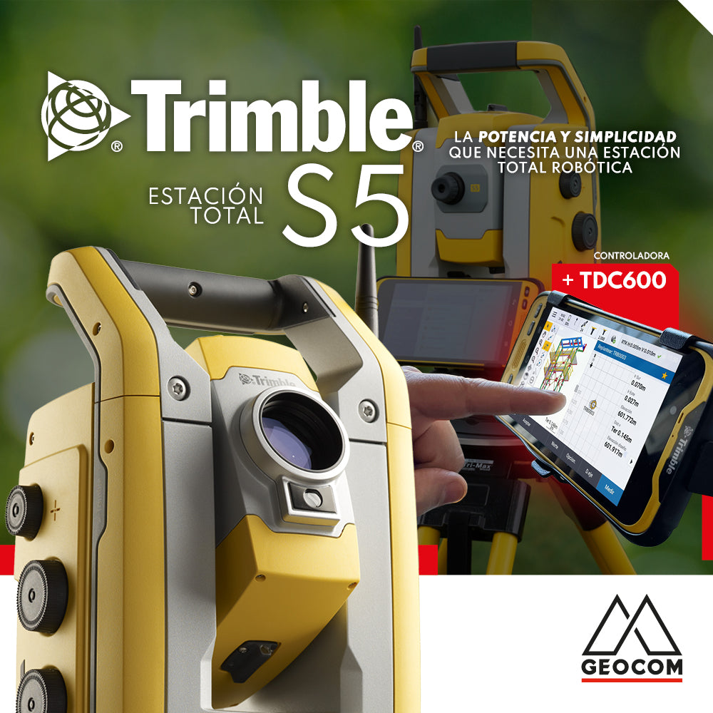
The Trimble S5 can be operated from a wide range of controllers. Among them, a good alternative is the TDC600, which can be used in different modes and is compatible with Trimble's entire S-series of total stations as well as its GNSS portfolio, or both simultaneously.

Promotion | Start the year by scheduling your annual maintenance in advance
20% OFF.* Annual maintenance in advance
40% OFF.* First maintenance for Trimble total stations
GNSS positioning and the problem of projection in the use of total stations
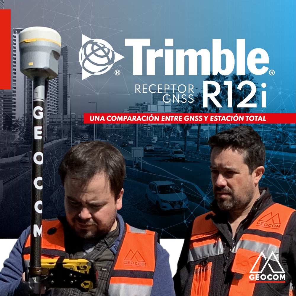
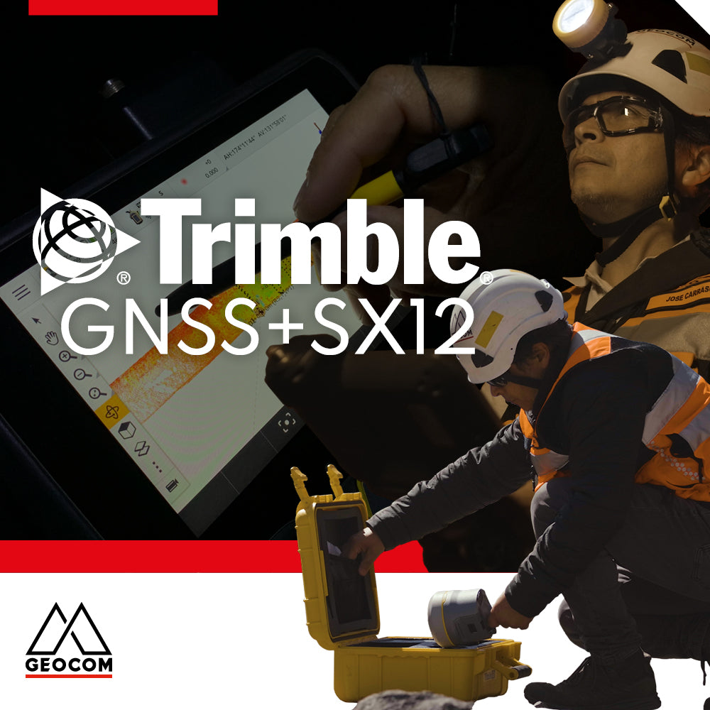
A comparison between GNSS and Total Station

Is it necessary to configure map projections for total stations?
It is strictly necessary to configure a map projection when working with a total station, and even more so when combined with determinations made with GNSS. This applies to any map projection, even those that minimize the effect of the combined scale factor on projected distances.
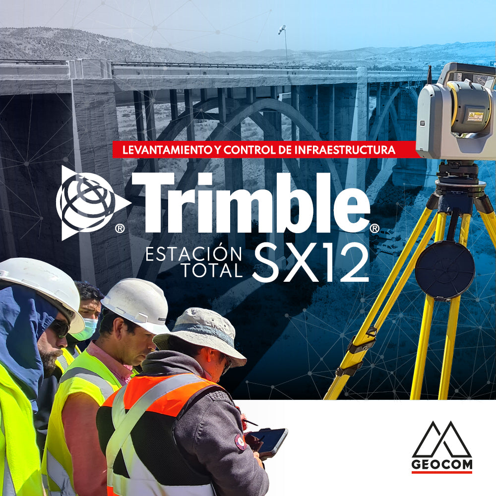
Infrastructure Surveying and Monitoring with Trimble SX12

Settop M1 | Communication device for total station monitoring