

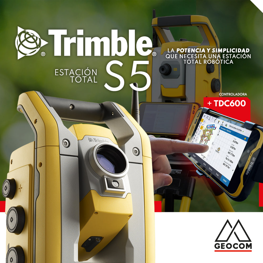

Trimble S5 can be operated from a wide range of controllers. Among them, a good alternative is TDC600 which can be used in different modalities and is compatible with all Trimble S series total stations as well as with the GNSS portfolio, or with both at once.
⨭ LT Robotic System
Whether a system is robotic depends mainly on its remote control capability. In the case of the LT robotic system, the communication medium between controller and total station is long-range Bluetooth (BT), as opposed to traditional robotic systems that commonly use 2.4 GHz radio for the link, which allows for a greater range. In various construction-related tasks, the long-range Bluetooth incorporated in the TDC600 allows communication with the total station within a range where a number of possibilities can be addressed. This system capability gives the professional the freedom to move around the work area, positioning the equipment in a convenient location for remote surveying or stakeout.


One application of the robotic modality between Trimble S5 and TDC600 is topographic surveys where only one person interacts. Under this same methodology, stakeouts can be performed quickly and easily compared to the conventional way.
⨭ Incorporation of 3D models for BIM operation
Today, BIM is the standard for the engineering and construction of any project, generating a variety of benefits associated with productivity. The result of these three-dimensional designs is currently the necessary source of information for their materialization, which is directly associated with field topographic activities. The IFC format (or its similar TrimBIM according to Trimble) is widely used in the engineering industry. IFC is developed by BuildingSmart International and its main objective is to facilitate interoperability within the engineering and construction sector based on the foundations of BIM: topography is certainly not left out of this philosophy.
For its part, Trimble has developed a collaborative platform called Trimble Connect, which allows managing and collaborating in a digital environment, geospatial information, whether project data and/or field work.

In this scenario, Trimble Access interacts with Trimble Connect, allowing the connection between office and field. Once the work is done, the result of the task, whether survey or stakeout, is synchronized with Trimble Connect.
A direct application of using 3D models under Trimble Access is their stakeout in the most diverse possibilities. Select points to stake out specifically, lines to extend alignments, and 3D surfaces to control according to their normal.


⨭ Autolock
Autolock is an automatic aiming system developed by Trimble that allows tracking a prism by identifying its position and also following it in motion. The main use of Autolock is aimed at moving applications where 360° prisms are used, however, for maximum precision applications, such as robotic stakeout, the use of precision prisms or mini prisms allows obtaining the highest possible precision with the instrument. The total station can follow the prism wherever it goes, whether on a pole, precise stakeout accessory, or directly mounted on a vehicle whose trajectory is to be determined.


⨭ Stakeout
Trimble S5's robotic stakeout is a differentiating factor, all supported by Magdrive technology, as the movement of a Trimble S-series total station is based on this technology. Magnetic attraction and repulsion can be induced through an electric current by means of a coil, which, in practical terms, means levitation. This brings the benefit of a friction-free, lighter and smaller servo-assisted system, without noise or gears, giving the instrument a maximum speed of 115° per second. Magdrive plus Autolock and TDC600 with Trimble Access make up the LT robotic system, allowing the professional freedom in the work area for precise and safe marking. The use of accessories for staking out fine elements such as axes, anchor bolts or other required items, significantly helps in marking, control and surveying.

⨭ Cycle measurement
Cycle measurement, more commonly known as angular reiteration, is undoubtedly one of the most widely used techniques in geodesy. Today, it is possible to perform these measurements with robotic total stations in an automated manner, using the Autolock automatic prism lock system. The observation time is minimal, allowing for the capture of redundant data that enables the determination of an element's position with very high precision.

Applying this methodology to high-precision stakeout allows verifying whether the mark made is subject to modification or not, with respect to the theoretical position.
Another obvious application of this technique is the precise observation of angles and distances for geodetic networks/traverse. Finally, these observations are imported into Trimble Business Center for their corresponding analysis and adjustment.


⨭ Direct Reflex (DR)
The Electronic Distance Measurement (EDM) of Trimble S-series total stations consists of a unit for laser pulse distance measurement that determines distances by precisely measuring the flight time of the transmitted light pulse. The distance unit generates shorter laser pulses, which are transmitted from the telescope to the target. The pulses are reflected off the target surface and returned to the instrument where the time difference between the transmitted and received pulses is determined: the unit uses this time difference to calculate the distance to the target, a technique known as "time of flight". Specifically, Trimble S5 has a distancer called DR Plus with which a precision of 1 mm + 2 ppm (according to ISO standard) is achieved in measurements to prisms.
For its part, Direct Reflex (DR) corresponds to the prism-less measurement capability, where the expected accuracy is 2 mm + 2 ppm and the expected range, depending on the surface reflectivity, is 550m to 1200m for DR Plus.


⨭ Surface scanning
The Trimble S5 surface scanning is a discrete scanning method, which has a capture speed of 1 point per second. This particularity allows the Trimble S5 to apply this surveying methodology in tasks such as surveying stockpiles, excavations, surveying underground works or complex surfaces, whose results are reflected in progress reports or work quantification.


⨭ Integrated surveying
Integrated surveying is a unique feature of Trimble Access, whose license allows communication with both GNSS and S-series total stations. One of the possibilities is the orientation of the total station over the base of GNSS RTK observations. The technique is a trisection or inverse intersection, where the GNSS provides the coordinates of the point to be used, while the Trimble S5 measures to the prism with Autolock. This technique can be carried out with all S and SX series total stations.
The immediate application of integrated surveying is the convenient setup of the total station referring to a coordinate system that is also linked to GNSS. This achieves agility by successfully combining GNSS observations with the total station itself.


Compartir:
Webinar | DJI Zenmuse L1: From Data Acquisition to Final Product
Trimble Virtual World