

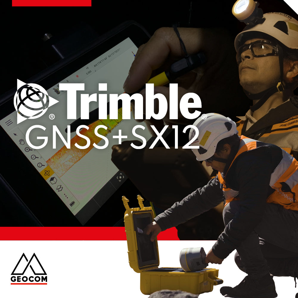

How important is field software when interacting with different sensors using the same reference system? The use of #GNSS and its interaction with total stations within the same projected reference system is a huge help when understanding the differences that can be found between a projected coordinate system and its equivalent in real topographic dimensions.
This experience initially involves the georeferencing of two points using GNSS from a base emitting differential corrections over the internet. The base used is approximately 28 km from the work site, and the instrument used for this georeferencing is a Trimble R12i GNSS receiver.
In this case, the Observed Control Point method is used, which allows us to measure control points with high precision in real-time. Associated with the configurations, the reference system used is SIRGAS 2021, UTM Projection, Zone 19 South.
Once the points are measured, in Trimble Access, we can review or check the difference between a Ground distance and a Grid distance, also considering that the projection scale factor depends on the longitude coordinate of the point.
By orienting the Trimble SX12 scanning total station, we measure and check the calculated distance from the points observed with GNSS versus the distance measured with the total station. This difference is necessarily due to the precision of the points measured with GNSS RTK. The difference in the altimetric component is minimal. Now, I invite you to compare it with a GNSS Network observed with statics; it should improve, right? I invite you to experiment!
Compartir:
What is Trimble DA2?
Promotion | Start the year by scheduling your annual maintenance in advance