

construcciónEscáner LáserEscáner Láser 3DEscáner Láser Trimble X7TrimbleTrimble AccessTrimble Business CenterTrimble ClarityTrimble SX12Trimble X7
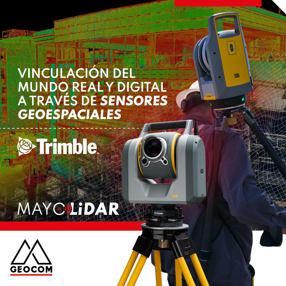
Linking the real and digital worlds through geospatial sensors
For the construction industry, it is essential to improve project quality so that companies can maintain a competitive position in the market and, at the same time, meet sustainability demands.
BIMEstación totalEstación Total de escaneoEstación Total RobóticaInfraestructuraTrimbleTrimble AccessTrimble Business CenterTrimble ClarityTrimble SX12
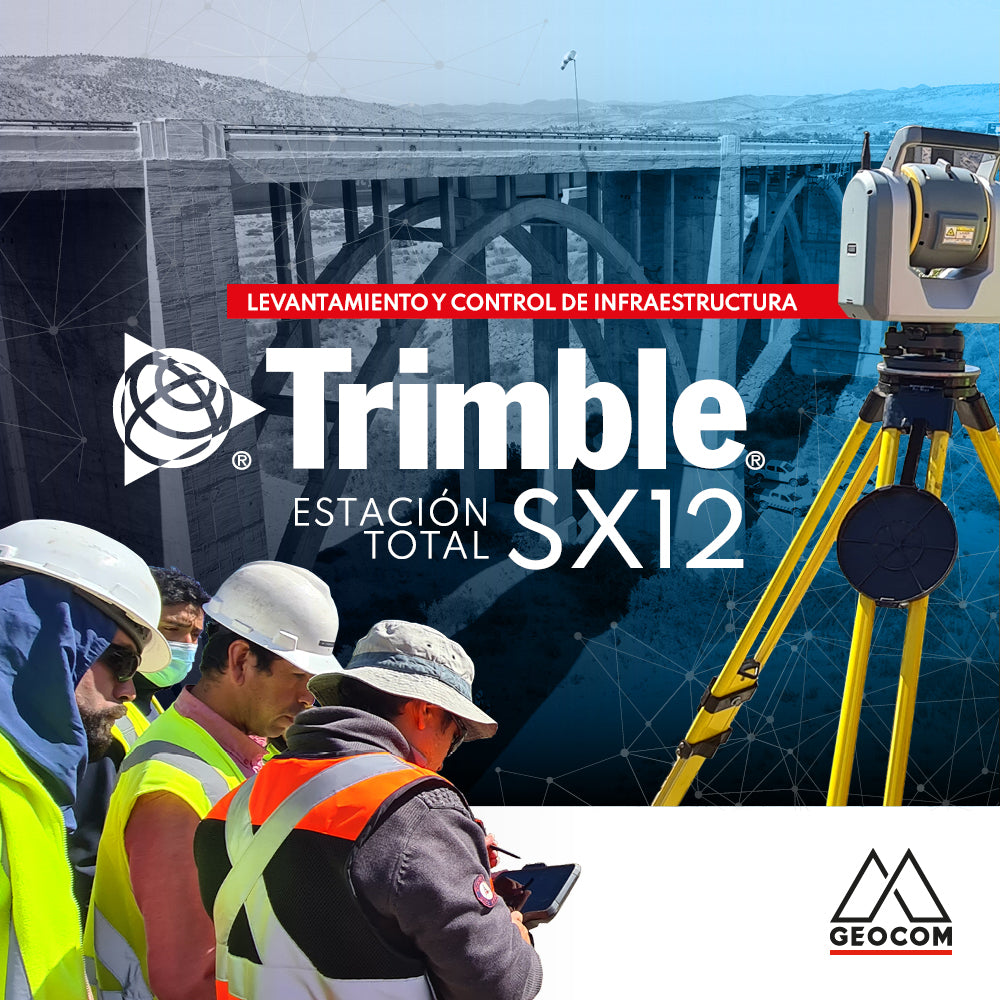
Infrastructure Surveying and Monitoring with Trimble SX12
To test the Trimble SX12, we set out to geometrically represent the Limarí bridge, which is part of Route 5 North, with an approximate length of 250 meters and a height of 30 meters.
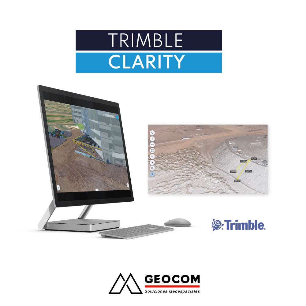
Collaborative environment for visualizing point clouds and 3D models. Trimble Clarity is browser-based and can be used on any internet-connected device.