

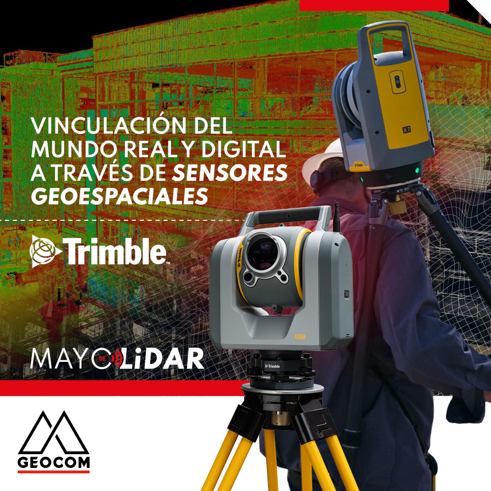

Connecting the Real and Digital Worlds Through Geospatial Sensors
Today's world presents increasingly demanding economic and environmental challenges, forcing the construction industry to frequently rethink how things are done. In this context, the construction industry sees it as fundamental to improve project quality so that companies can maintain a competitive position in the market and, at the same time, meet sustainability demands. Research indicates that the way for companies to increase profits is not through increased sales but by reducing costs generated by poor quality, as the manufacturing industry did. However, the construction industry has unique and complex challenges, as its projects, unlike the manufacturing industry, are non-standard and unique products, which complicate quality control processes, negatively impacting project planning and costs.


Construction projects tend to suffer delays and cost overruns compared to what was planned. Various factors contributing to this problem can be identified, among which are quality problems originating in the construction phase of a project, specifically in the rough work stage. These quality problems have diverse origins; however, geometric quality control is a substantial part of quality problems. Any geometric deviation in terms of position, dimension, orientation, flatness, horizontality, and verticality of a materialized element on site is a potential problem in the subsequent finishing, assembly, and operation stages. These geometric deviations force rework, repairs, or design modifications to correct these quality problems, increasing project costs and affecting planning.

Geometric deviations originate due to visual inspection and the use of manual measuring tools, which are susceptible to errors and often depend on the experience of the person performing them. Furthermore, since these are manual tools, their use implies a high consumption of time both on site and in subsequent processing. Because of this, it is only possible to control elements discretely and it is not possible to check the entire work at each stage. This causes deviations not to be detected in a timely manner, leading to delays and cost overruns in subsequent stages.
In the construction phase, it is necessary to make quick decisions that do not stop the pace of work, so timely and reliable information must be available. The integration of Trimble X7/SX12 laser scanners for reality capture and Trimble S-series total stations for the materialization of the design model (IFC) on site allows the link between the digital and real worlds, improving geometric project control.

Compartir:
RIEGL VZ-i APP Kinematic
RTK GNSS positioning verification