

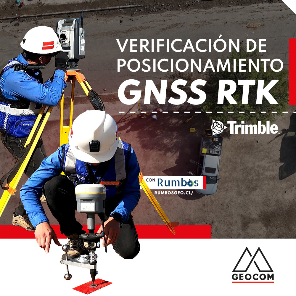

Verification of GNSS positioning in RTK mode
The use of GNSS receivers in RTK mode has had a great impact on the productivity of topographic surveys for engineering projects. The in situ determination of a three-dimensional coordinate with centimeter precision allows for the rapid georeferencing of geometric entities such as points, lines, polygons, as well as their staking out, significantly optimizing field time.
Regarding this GNSS positioning method, in February we published an article on the use of this methodology (RTK Positioning: recommendations and precautions), where we discussed its main features and precautions for use. Continuing with the study of this methodology, in this publication we propose to analyze the consistency in the determination of RTK GNSS positioning, i.e., reproducibility and precision. For this, we will partially apply the ISO 17123-8 standard for GNSS receivers operating in RTK mode.
The ISO 17123-8 standard seeks to compare horizontal and vertical distances obtained by RTK with a comparison pattern that we will call the baseline determined by terrestrial techniques (observations of horizontal and vertical directions along with inclined distances). Consistency and reproducibility are obtained with RTK measurements separated by time intervals that allow for the analysis of different factors that contribute to the RTK solution, particularly satellite distribution. In summary, each of the distances determined over a 25-minute interval by a GNSS receiver verified according to this standard must be consistent with the baseline within a tolerance obtained from its own nominal precision.
Experiment
Initially, a baseline is established using a Trimble VX total station with an angular precision of 1” and a linear precision of 1 mm + 1.5 ppm. This distance was determined through repeated observations, on both faces, performed automatically by the Trimble VX total station. The determined distance is observed over two permanently anchored monuments on the surface, where the Marksman Delta 001 support was used to mount the prism and subsequently the GNSS receivers (Figure 1).

Figure 1: Marksman Delta 001
The horizontal distance determined by the total station is 19.2921 m and the height difference is 0.6654 m. Figure 2 shows the determination of the horizontal distance.

Figure 2: Horizontal distance obtained using a total station
The verification is applied to two Trimble R12i GNSS receivers; the first receives differential corrections via an RTK base (UHF) 100 meters away. Meanwhile, the other R12i receiver obtains RTK positioning (NTRIP) at a distance of 11 km (SNTI) (Figure 3).

Figure 3: GNSS Vectors
Five RTK distances were determined, each with a 5-minute observation interval, meaning RTK topo point positions from Trimble Access were recorded at both ends of the line, and then a 5-minute waiting period was observed for the next measurement. The process was carried out simultaneously for UHF and NTRIP determination. The obtained distances were reduced to a local system (e, n, u) to be compatible with the horizontal and vertical distances. The values obtained during the partial application of the standard allow us to conclude that both receivers comply with standard 17123-8, as all distances obtained through GNSS and their difference from the horizontal distances are within the tolerances established by the applied standard.

Acknowledgements
GEOCOM thanks Rumbos Geomensura for their support in the experiment.

Compartir:
Linking the real and digital worlds through geospatial sensors
LiDAR SLAM: What are its advantages?