

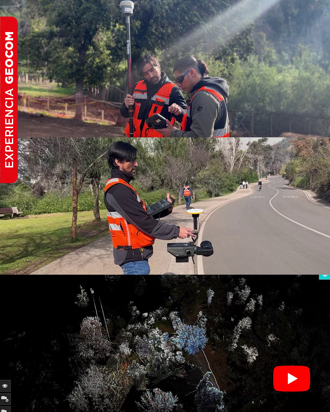
Hello, Geocom community! In our new video, we show you a real-life experience in the Metropolitan Park, where we use the SLAM Exyn Nexys system together with the Trimble R12i GNSS and the Trimble DA2 receiver. Discover how we measure control points, survey with the scanner, and obtain a precise, real-time point cloud.
We will show you the entire process:
Control points with GNSS: First, we use our Trimble R12i GNSS to measure control points in key areas, such as roadways and road markings. This data, linked to our GNSS base via NTRIP, ensures the accuracy of the survey.


Survey with SLAM technology: Then, we activate our SLAM Exyn Nexys system, linked to the Trimble DA2 receiver for absolute positioning. We surveyed the study area to capture data and reconstruct a real-time, true-color point cloud.


The result is a georeferenced point cloud, ideal for a variety of analyses, from measuring distances and forest assessments (tree height, stem diameter) to visualizing and quantifying trails and squares.


Compartir:
GEOCOM Webinar | GNSS + Total Station + Digital Level = Combined Adjustment in TBC
GEOMÓVIL GEOCOM Tour - October 2025