

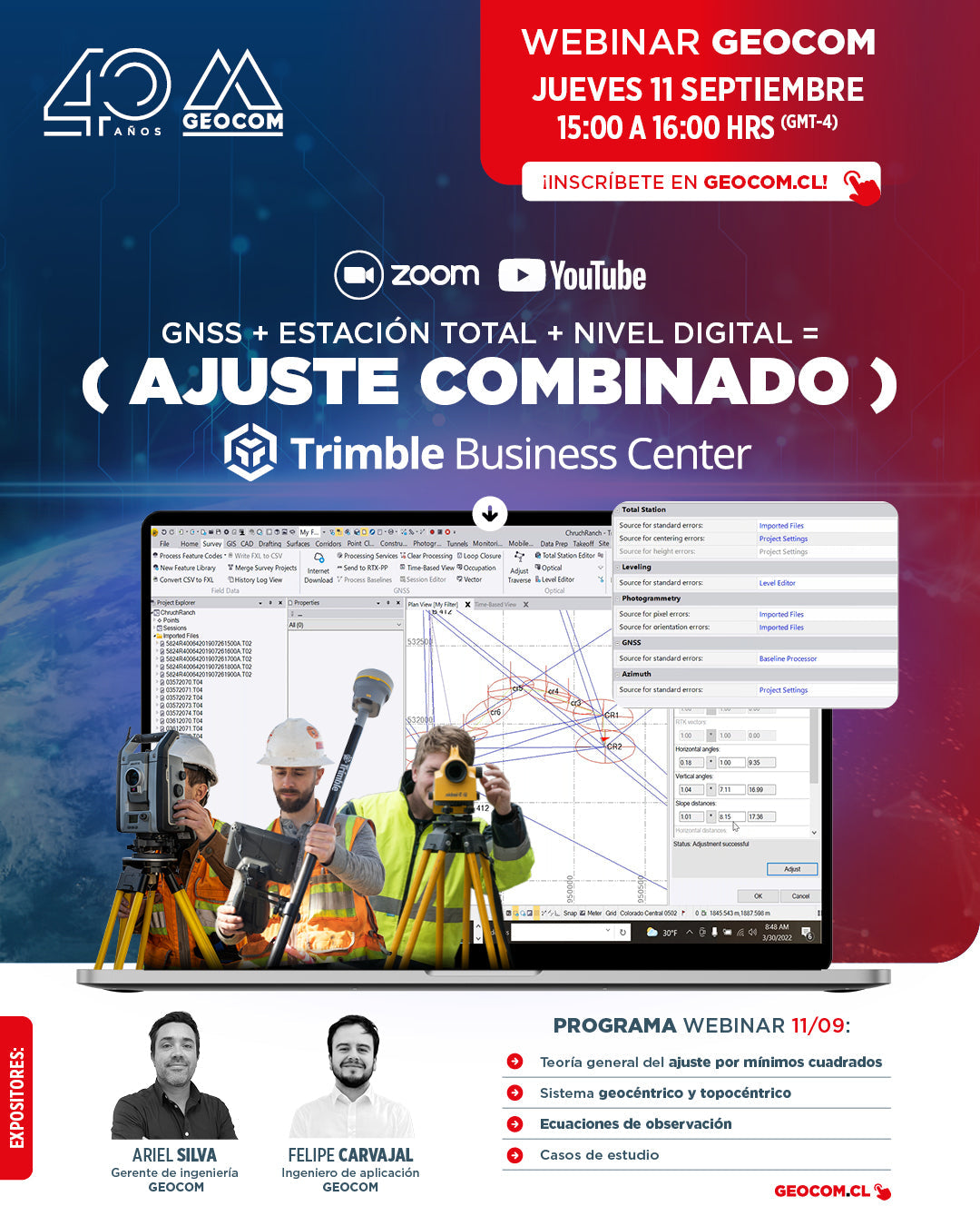

[GEOCOM WEBINAR] GNSS + Total Station + Digital Level = COMBINED ADJUSTMENT IN TBC
THURSDAY, SEPTEMBER 11 / 3:00 PM TO 4:00 PM / ZOOM & YOUTUBE LIVE
Least squares adjustment is a powerful tool in land surveying. Usually, least squares adjustment is associated with determining coordinates from GNSS observations. However, it is a technique that can be applied to any type of geodetic observation, even combining techniques. Satellite observations can be combined with terrestrial observations in the same project, achieving high effectiveness in the precise determination of coordinates for engineering works.
What will you learn in this Webinar?
⨭ General theory of least squares adjustment
⨭ Geocentric and topocentric systems
⨭ Observation equations
⨭ Case studies
📅 THURSDAY, SEPTEMBER 11 | 3:00 PM TO 4:00 PM | VIA ZOOM & YOUTUBE LIVE

Compartir:
Riegl VZ-6000: LIDAR Technology for Glacier Preservation
SLAM Technology in action: A real experience in the Metropolitan Park