

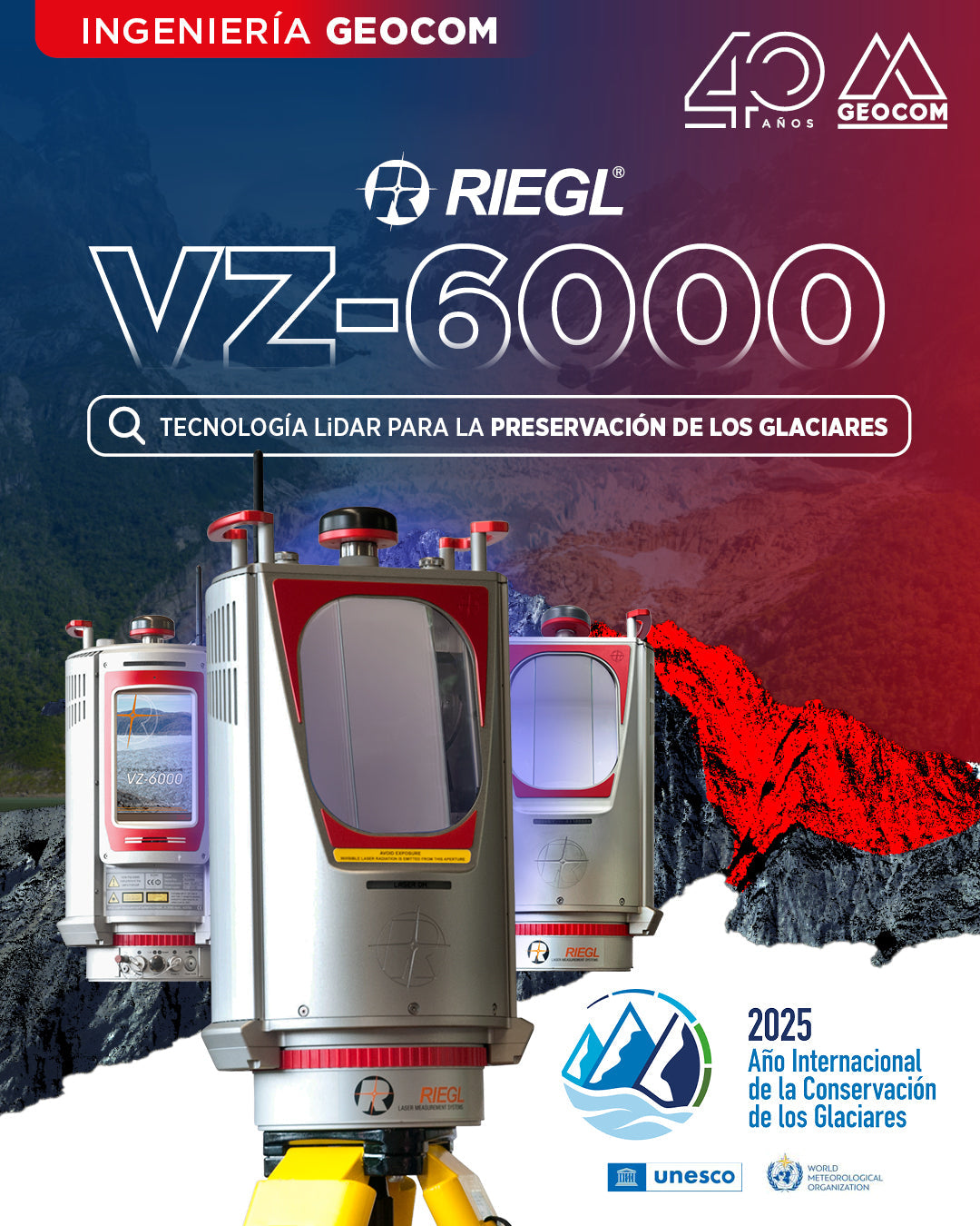

RIEGL VZ-6000: El Morado Glacier
The United Nations General Assembly has designated 2025 as the International Year of Glacier Preservation, a historic initiative seeking to mobilize global action in the face of the unprecedented crisis confronting these ice giants. With 273 gigatons of ice lost annually and an 18-millimeter contribution to sea level rise since 2000, the urgency to act has never been more evident.
This initiative, supported by over 75 international organizations and 35 countries, represents one of the most comprehensive environmental preservation efforts in recent UN history. The declaration not only establishes 2025 as the year of observance but also marks the beginning of the Decade of Action for Cryospheric Sciences (2025-2034), emphasizing the long-term commitment required by this crisis.

Among the participating nations, monitoring and adaptation programs driven by regions with a strong glacial presence stand out. In Asia, Nepal develops advanced monitoring initiatives, Pakistan strengthens its early warning systems for glacial lake outburst floods, and China leads research within the framework of the "Third Pole." In Europe, Switzerland plays a leading role with the World Glacier Monitoring Service, while Norway's National Glacier Monitoring Program operates the oldest national program in the world. Arctic nations, such as Canada, through Natural Resources Canada, also operate mass balance monitoring stations in the Western Cordillera and the Canadian Arctic Archipelago, and Greenland deepens its studies on the dynamics of its ice sheet. Even small island developing states, aware of their high vulnerability to sea level rise, actively participate as strategic observers.
In South America, Andean participation is particularly significant. Argentina was a pioneer in enacting the world's first comprehensive glacier protection law in 2010, recognizing them as strategic freshwater reserves.

Chile holds a privileged and responsible position in this global scenario, concentrating between 80% and 82% of South America's glaciers, with over 26,000 individual glaciers. The General Directorate of Water, through the Ministry of Public Works, has been in charge of conducting the "Public Glacier Inventory" since 2008, allowing these ecosystems to be monitored throughout Chilean territory. This body has evolved from direct on-site glacier measurement methods to advanced geospatial technologies that ensure greater precision and safety in measurements.
LIDAR technology has marked an important turning point in the technological transformation of glacier monitoring. The VZ-6000 laser scanner, developed by the Austrian company Riegl in 2012, has set new standards in remote data acquisition. This equipment can measure ice volumes at distances exceeding 6 kilometers, thanks to its use of a wavelength particularly suitable for measuring snowy terrain. It operates in the near-infrared band (1064 nm), allowing it to achieve high reflectivity rates (over 80%) on snow-covered surfaces, while complying with maximum permissible laser radiation exposure levels for equipment in this category. This makes it practically the only terrestrial laser scanner capable of meeting the requirements for this type of measurement, due to its exceptional range and high response in snow.


At Geocom, our trajectory of over 40 years in technological innovation positions us as strategic collaborators in this crucial challenge. We have committed to providing the tools and technical expertise that enable Chilean institutions to carry out precise and continuous monitoring of our glaciers. The technology we distribute is not merely equipment; it represents our tangible contribution to the preservation of national glacial heritage and the scientific understanding of climate change.
The International Year of Glacier Preservation calls on all actors in the scientific and technological sector to intensify our efforts. At Geocom, we renew our commitment to continue being technological enablers in this critical mission, understanding that every measurement contributes to the construction of adaptation and mitigation strategies that will determine the future of these natural freshwater reservoirs.

The preservation of glaciers transcends national borders and scientific disciplines. It requires the convergence of political will, scientific knowledge, technological innovation, and social awareness. In this decisive year, Geocom reaffirms its role as a technological bridge between science and action, contributing solutions that allow data to be transformed into informed decisions for the protection of our glacial heritage.

Compartir:
[Copiapó 📍 Workshop] Drones in the Geospatial World
GEOCOM Webinar | GNSS + Total Station + Digital Level = Combined Adjustment in TBC