


OPINION COLUMN | Geomonitoring: An Opportunity for Geomatics and Geodesy?
We recall with some nostalgia when we competed with colleagues to see who could achieve the best ratio between observed points and time during a topographic survey, or who could set up an instrument the fastest.
GEOCOMGNSSGNSS TrimbleNoticia GEOCOMReceptor GNSSSoporte GEOCOMTrimbleTrimble Business CenterTrimble R12iTrimble RTXTrimble RTX satelital
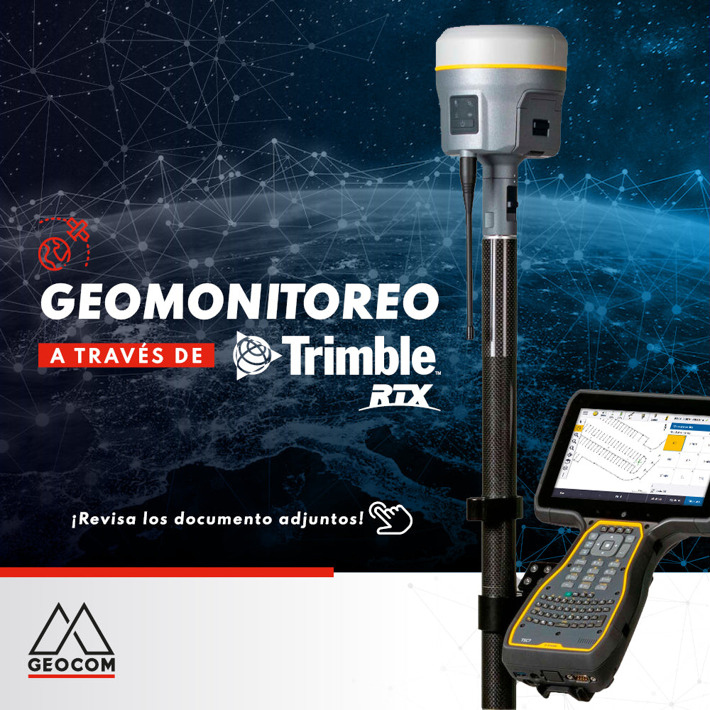
Geomonitoring with Trimble RTX
Our engineers have prepared an application example for geomonitoring combining RTX-PP processing with functionalities of the new TBC monitoring module. Check it out Here!

FREE ADJUSTMENT IN TRIMBLE BUSINESS CENTER
Trimble Business Center incorporates free adjustment of geodetic networks using the inner constraints approach, which allows the network to be evaluated by its internal geometry (observations)...
GEOCOMGNSSGNSS TrimbleNoticia GEOCOMReceptor GNSSRTKSoluciones GeoespacialestopografíaTrimbleTrimble R12iTrimble SX12WebinarWebinar GEOCOM

Integrated surveying is a methodology that combines satellite observation from Trimble R12i with terrestrial observation from SX12 in a common free station, which offers great flexibility when setting up the scanning total station.

GEOCOM has been operating an active GNSS Network for over 10 years, which primarily supports RTK positioning through a Multistation NTRIP, in addition to storing raw GNSS observations in Trimble format from its own stations and those of some clients.
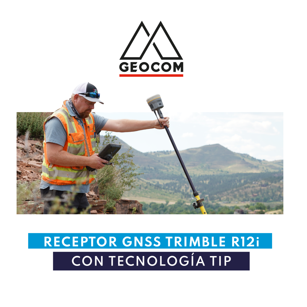
Trimble R12i GNSS Receiver with TIP Technology
Trimble Inertial Platform technology is based on the implementation of an Inertial Measurement Unit (IMU) in the Trimble R12i receiver with the objective of using information from acceleration sensors.