News

Una comparación sencilla entre Trimble RTX & RTK

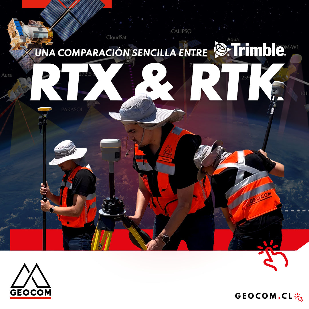
A Simple Comparison Between Trimble RTX & RTK

Trimble has delved deeper into the PPP technique through Trimble RTX, which can be used either in real-time or post-processing. Now, in terms of compatibility, the questions that arise are: Is RTX compatible with determinations made in RTK? Can RTX and RTK data coexist in the same project?

Read more

Trimble GNSS | Levantamiento topográfico de planta minera

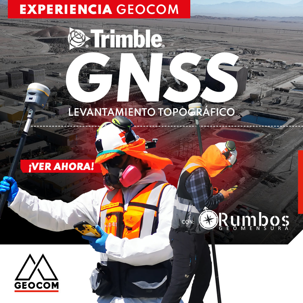
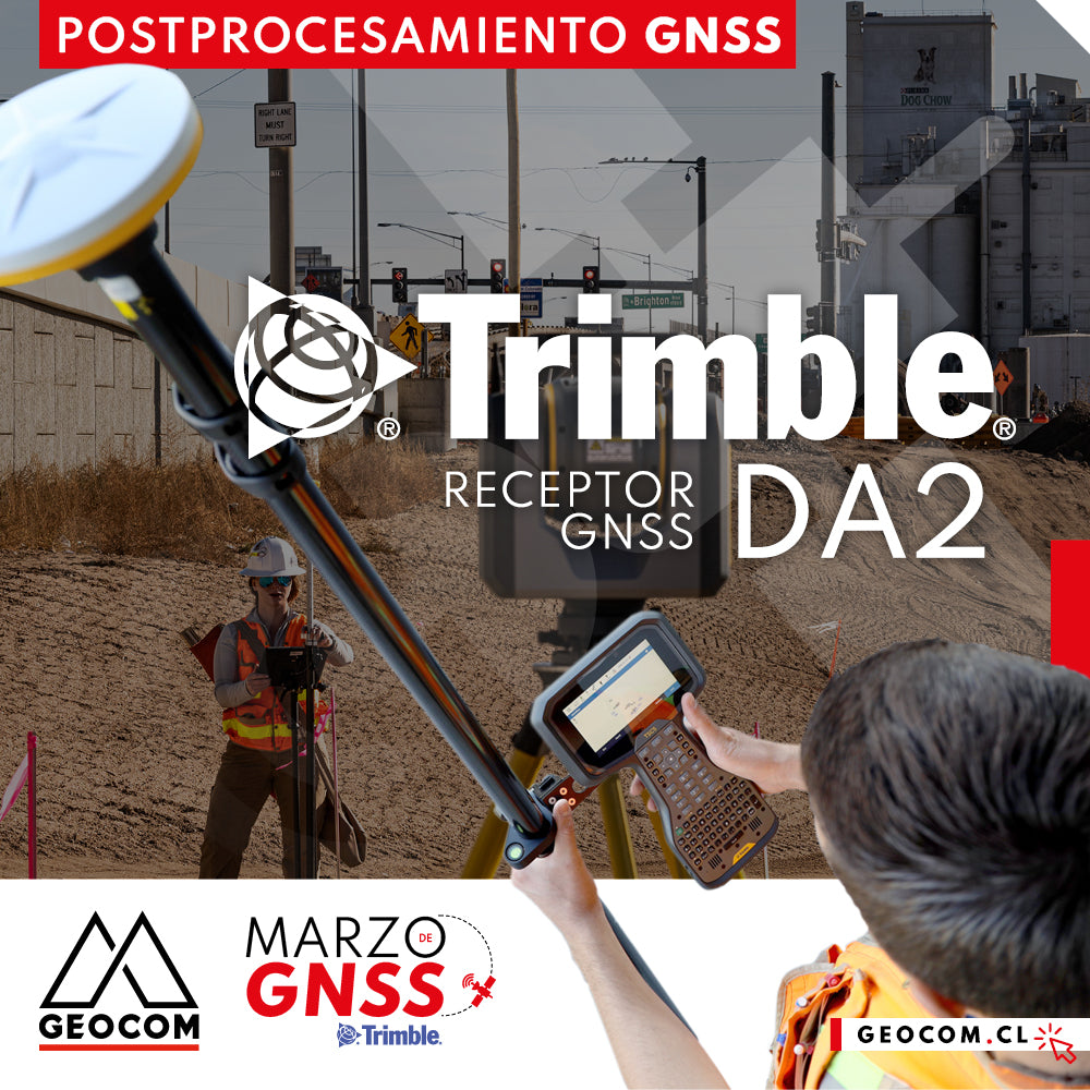
Trimble GNSS | Mine Plant Survey

GNSS in its RTK mode has become a standard for conducting topographic surveys due to its high productivity and ease of observation. Furthermore, by adding automatic drawing tools, the use of GNSS is tremendously beneficial.

Read more

Trimble ProPoint Engine: Posicionamiento y Orientación Centimétrica de Última Generación

Trimble ProPoint Engine: Next-Generation Centimeter-Level Positioning and Orientation

This system incorporates an innovative measurement management that benefits from the latest advances in GNSS sensor and inertial measurement unit fusion.

Read more

Georreferenciación de nubes de puntos | Trimble R12i

Point Cloud Georeferencing | Trimble R12i

In this experience, Rumbos Geomensura performs scans with a Trimble TX6 with the aim of obtaining a highly representative point cloud. Additionally, they determine high-precision positions with Trimble R12i.

Read more

Enfoques Modernizados para el Procesamiento de Líneas de Base de GNSS en Trimble Business Center

Modernized Approaches for GNSS Baseline Processing in Trimble Business Center

As of TBC version 4.00, static baseline processing is handled by a specialized, automated processor. Some of the features of this new approach are presented below

Read more

GNSS vs Estación Total en la determinación de desniveles

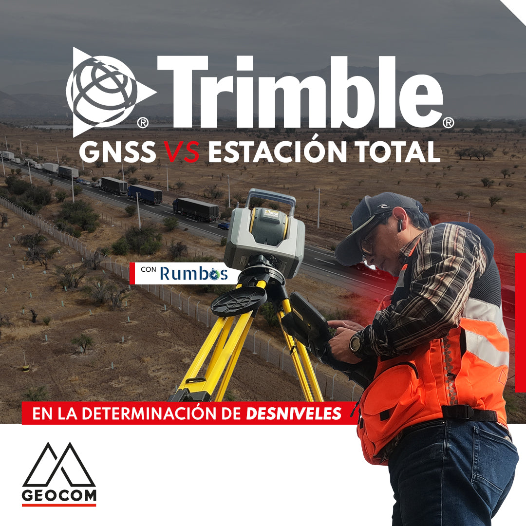
GNSS vs Total Station in determining elevation differences

To compare the determination of height differences using GNSS and total station, a 5 km itinerary is carried out, consisting of 11 materialized points spaced every 500 m, producing a total of 10 height differences, which are observed directly using GNSS and total station.

Read more

Verificación de posicionamiento GNSS en modalidad RTK

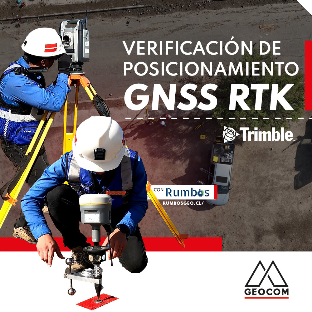
RTK GNSS positioning verification

The ISO 17123-8 standard aims to compare distances, both horizontal and vertical, obtained using RTK with a comparison standard that we will call a baseline, determined by terrestrial techniques (observations of horizontal and vertical directions along with inclined distances).

Read more

Representación Topográfica para excavaciones | Trimble R12i

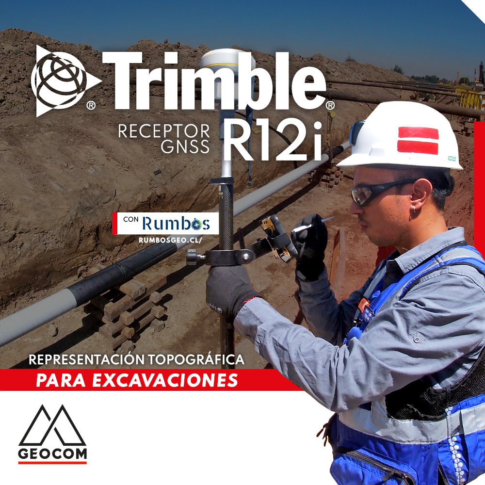
Topographic Representation for Excavations | Trimble R12i

Once again, our friends at Rumbos show us an interesting application of Trimble R12i. In this case, a topographic survey of an excavation is performed to determine the cut volume and the pipeline's location.

Read more

Referenciación directa en tiempo real mediante Trimble R12i

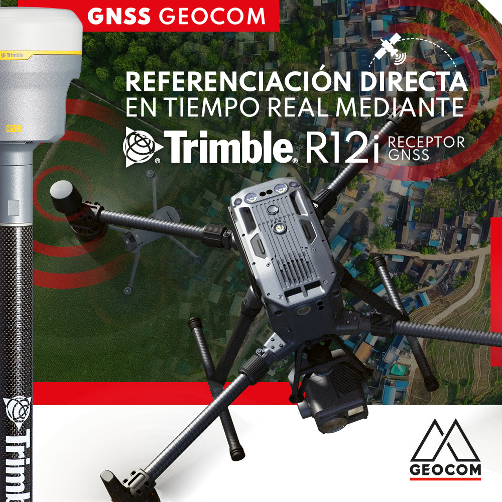
Real-time direct referencing with Trimble R12i

Currently, direct georeferencing can be approached using two methods based on GNSS positioning principles: PPK (Post Processed Kinematics) and RTK (Real Time Kinematic)

Read more

RTX: Más de una década de posicionamiento por punto preciso

RTX: Over a decade of precise point positioning

RTX is defined as a GNSS correction service that allows users to obtain geodetic positions in real time through corrections via satellite communication or the internet.

Read more

Postprocesamiento GNSS con DA2

GNSS Post-Processing with DA2

GNSS post-processing with DA2 is now available. Through a simple workflow based on Trimble Access.

Read more

Posicionamiento RTK: recomendaciones y cuidados

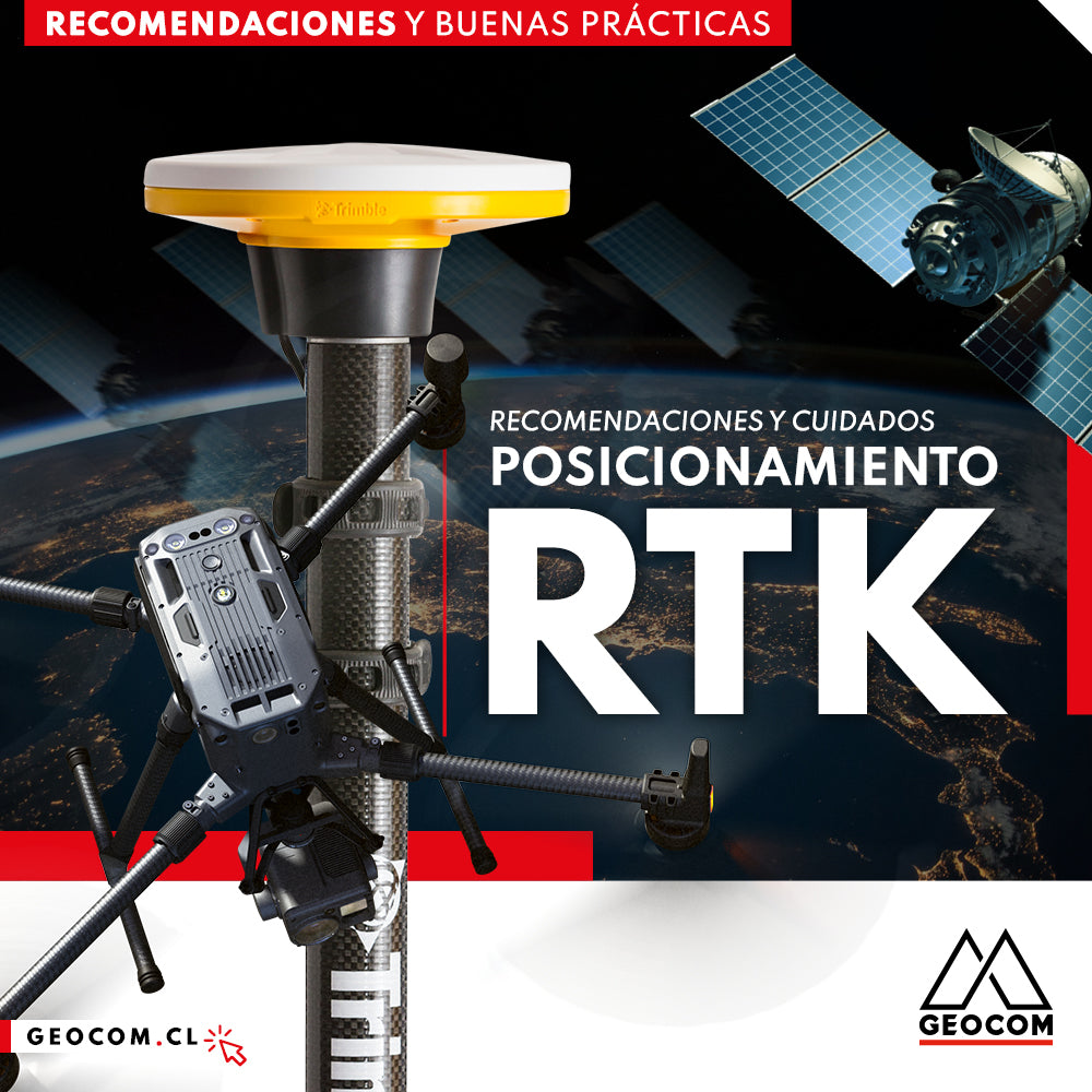
RTK Positioning: Recommendations and Care

Real-time GNSS positioning, commonly known as RTK (real-time kinematics), is probably the most widely used method in the national industry due to its efficiency and the ability to obtain coordinates in situ.

Read more

¿Dónde medir una altura instrumental en un receptor GNSS Trimble?

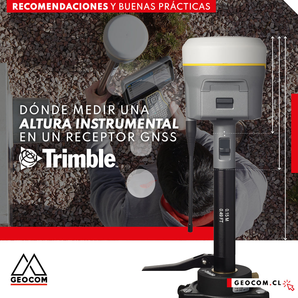
Where to measure an instrumental height on a Trimble GNSS receiver?

One of the most important procedures during a GNSS observation is the measurement of the instrumental height; this magnitude directly affects the vertical component obtained.

Read more

Aplicación de Trimble RTX bajo SIRGAS-Chile 2021

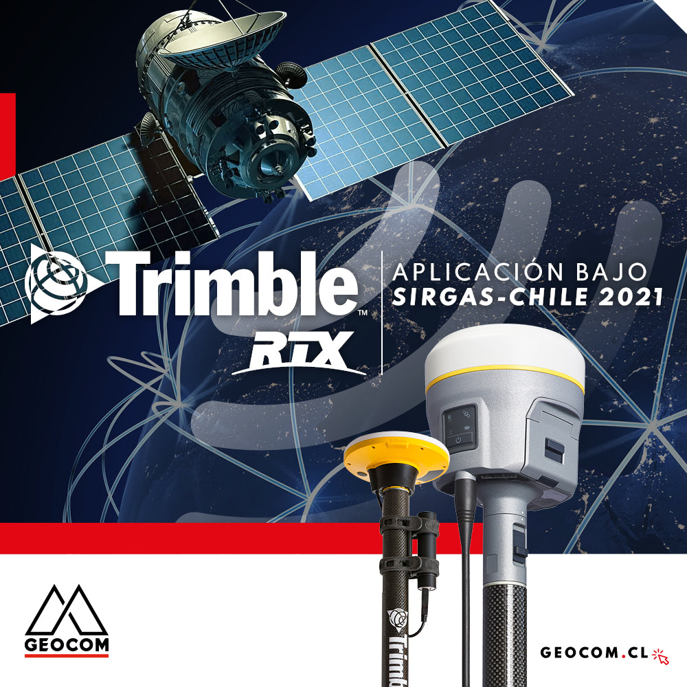
Trimble RTX application under SIRGAS-Chile 2021

The definition of SIRGAS-Chile 2021 is incorporated into the coordinate system libraries present in Trimble's controllers and office software.

Read more

Posicionamiento GNSS y la problemática de la proyección en el uso de estaciones totales

GNSS positioning and the problem of projection in the use of total stations

The use of GNSS and the interaction with total stations within the same reference system and simultaneously projected, is a giant help in understanding the differences that can be found between a projected coordinate system and its equivalent in real topographic dimensions.

Read more