

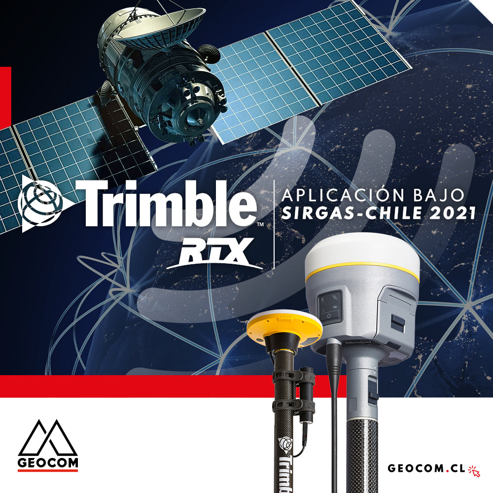

SIRGAS-Chile 2021 is the new reference frame definition for the Chilean territory promoted by IGM. The main difference from its predecessors is the incorporation of a variety of continuous reference stations, ensuring their availability in a much more direct way.
At Trimble, the SIRGAS-Chile 2021 definition is incorporated into the coordinate system libraries present in Trimble controllers and office software. The adoption of this framework allows for the automatic linking of real-time or post-processing (PP) RTX solutions to the country's official framework. SIRGAS-Chile 2021 reduces RTX positioning from the observation epoch to the epoch at which the official reference frame is calculated (2021.00); for this, a displacement model based on GNSS observations for the region is used (Figure 1).

Fig 1. Trimble Access – SIRGAS- Chile 2021 Configuration
To validate the model, RTX solutions were obtained in PP for the first day of each month from January 2021 to December 2022. For this case, SIRGAS Chile 2021.0 was adopted as the reference frame in RTX processing. The obtained solutions were compared with an official IGM SIRGAS Chile 2021.0 certificate. The analysis was developed by adopting a local system with an origin at the coordinates of the certificate. The first station corresponds to SANT (IGS) (Figure 2)

Fig 2. Differences in an ENU system for the SANT station calculated in SIRGAS Chile 2021.0 (Trimble) and the official IGM certificate
The same calculation was performed for the PAJA station (CSN) (Figure 3)

Fig 3. Differences in an ENU system for the PAJA station calculated in SIRGAS Chile 2021.0 (Trimble) and the official IGM certificate
In both graphs, the differences do not exceed 30 mm in each of their components with respect to the corresponding IGM certificate. To analyze the influence of adopting SIRGAS-Chile 2021 on the RTX solution, an RTX solution at the current epoch (PP) was compared with the same solution reduced to SIRGAS 2021.0. Both were compared with the IGM certificate in a local system with the origin at the IGM coordinate. The results are presented in the following table:
| Epoch | East (m) | North (m) | Up (m) |
| 2022.92 (RTX) | 0.028 | 0.021 | 0.013 |
| SIRGAS 2021 (RTX) | 0.018 | -0.014 | 0.013 |
Table 1. Comparison of current epoch RTX processing, reduced to SIRGAS 2021 versus IGM certificate
According to Table 1, the adoption of SIRGAS-Chile 2021 in Trimble solutions allows a link to the national geodetic framework that provides centimetric differences with respect to the latter. By not considering the adoption of the SIRGAS-Chile 2021 framework, these values increase, partly evidencing the epoch difference, among other parameters. It is important to note that the modeling that allows the link to the national geodetic framework is constantly updated to provide a better reduction.
Engineering experience
Thanks to Alfredo Yañez
During January, a comparison was made between the real-time RTX solution and differential post-processing in an engineering project in the northern part of the country (Figure 4)

Fig 4. Project geodetic vertices. Source: Alfredo Yañez
The evaluation parameter, like the previous experiments, was an official certificate provided by IGM. The work carried out presents results similar to those presented in this document, in particular, Table 2 shows the differences obtained

Table 2. Comparison of results, real-time RTX and differential post-processing. Source: Alfredo Yañez
From Table 2, centimetric differences are obtained for real-time RTX positions reduced using SIRGAS Chile 2021 and post-processing ("horizontal plane differences do not exceed 15 mm; with vertical differences between 98 mm and 109 mm"). More information about this project can be found at the following link:
The adoption of SIRGAS Chile 2021 in engineering projects can be approached automatically and efficiently using RTX, either in real-time or post-processing, providing results compatible with the current definition of the national geodetic framework through an epoch reduction based on a regional displacement model.
If you want to know more details about the implementation of RTX and SIRGAS-Chile 2021, do not hesitate to contact us.
Compartir:
Promotion | Start the year by scheduling your annual maintenance in advance
Where to measure an instrumental height on a Trimble GNSS receiver?