


Trimble R12i | Topographic Survey for Excavations
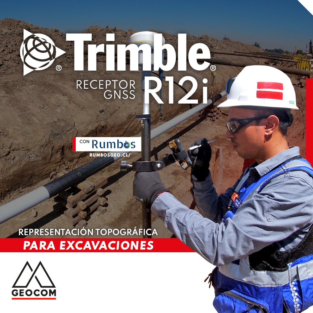
Once again, our friends at Rumbos show us an interesting application of Trimble R12i. In this case, a topographic survey of an excavation is carried out to determine the cutting volume and the pipeline's location. This application can be analyzed from the following aspects:
Trimble ProPoint
Given that Trimble R12i features ProPoint, which ensures accuracy, reliability, and productivity, even in challenging satellite observation conditions, a reliable and unquestionable topographic representation is obtained.
TIP (Trimble Inertial Platform)
It's not all about precision! Surveying the breaklines of the slope can be a problem with conventional systems. Using TIP, you only need to reach the point you want to determine with the tip of the pole. The same applies to the pipeline itself. The colleagues from Rumbos used only half of the pole with TIP to determine the placement of this element.
Trimble Access
Once data acquisition is complete, the corresponding surfaces are created to determine the excavation volume using Trimble Access's specialized tools. All of this is done on-site, ensuring that the acquired data will yield a satisfactory result.
Acknowledgements
GEOCOM thanks Rumbos Geomensura for their support in this experience.

Compartir:
Comparison between RTX and RTK in determining stockpile volume
RIEGL VZ-i APP Kinematic