

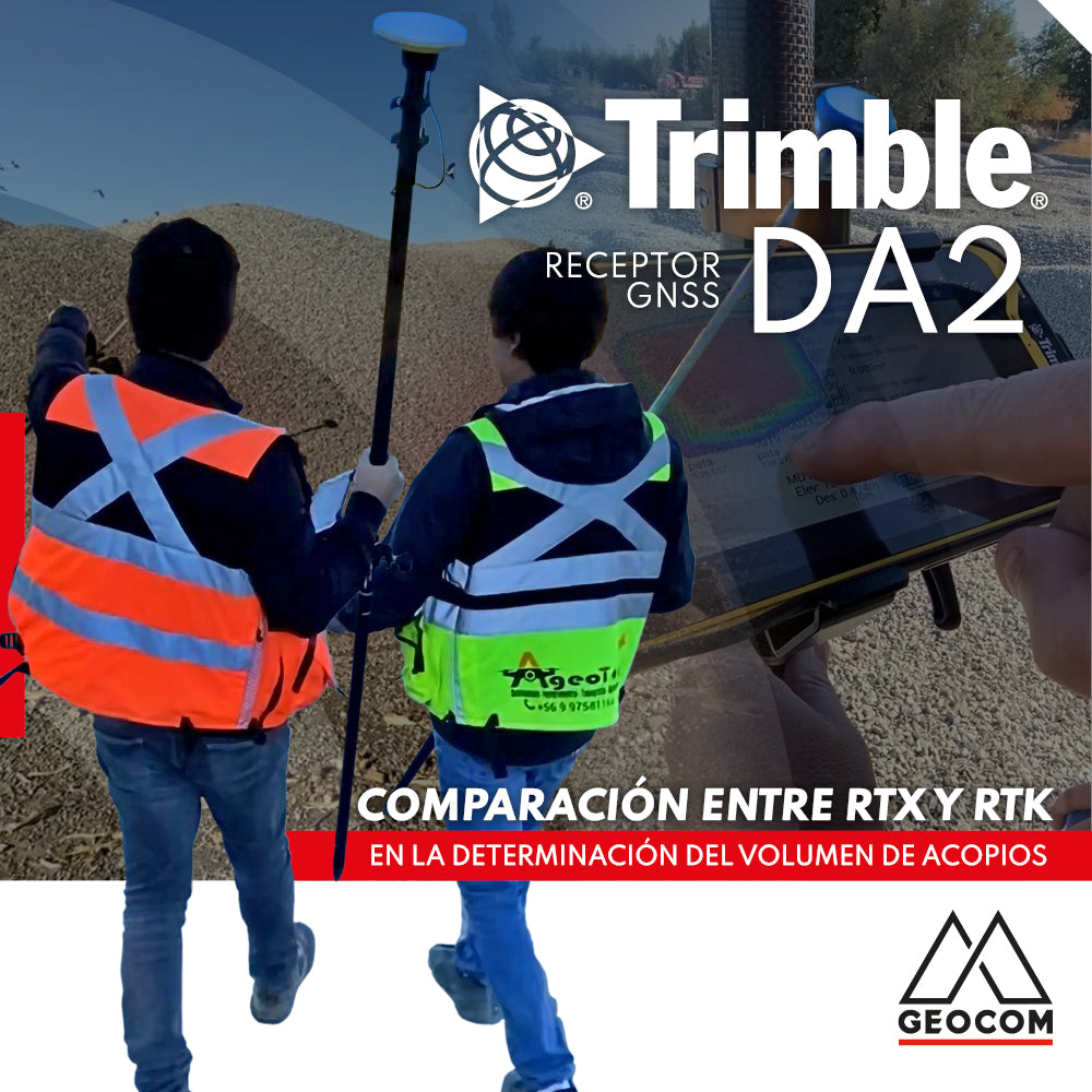

Trimble DA2 GNSS | Comparison between RTX and RTK in stockpile volume determination
Stockpile volume determination is a common activity in earthmoving. It is necessary to know the volume of different types of material inventory to plan activities associated with different industries.
In surveying, volume determination can be performed using discrete or continuous methods, which differ mainly in the detail of representation. Continuous methods - such as photogrammetry and/or scanning - offer a very detailed representation through a high density of points, but generally require intensive data processing that is developed in the office. On the other hand, discrete methods offer great speed and simplicity in the field through a representation detailed enough to achieve the desired effect.
In this regard, GNSS has become a great tool for calculating stockpile volumes, especially through real-time methodologies. However, many users associate only RTK as a valid technique in this classification, unaware of the potential that Trimble RTX can offer in this type of task.
RTX vs RTK
While RTK is a well-known technique among GNSS users, RTX is recently showing that it can become a real possibility as a real-time GNSS positioning technique, offering accuracies compatible with volume determination in relation to earthworks. While RTX does not achieve the precision of RTK, it does allow for a convenient topographic representation considering certain scopes. On the other hand, the need to incorporate RTX primarily aims at a gain in logistical terms by not requiring a base station to receive differential corrections. Therefore, the question that will be answered in this article is whether RTX can replace RTK in the determination of stockpile volume.
If you are not familiar with the Trimble RTX concept, we recommend you check out the following article.
Field experience
Two topographic representations of a pair of stockpiles are made through parallel surveys using RTX and RTK techniques. For RTX, Trimble DA2 along with Trimble Access is used, while the RTK survey is performed with another GNSS system.

Figure 1. Topographic survey (thanks to Ageotop)
Trimble DA2 along with Trimble Access enables the reception of Trimble RTX correction via satellite or internet. In most cases, working via satellite is recommended due to its simplicity. In any case, the system requires an initialization time that depends on the reception of the correction, either by satellite, which depends on the visibility of the geostationary satellite transmitting the Trimble RTX correction, or by internet, which depends on the coverage of a mobile data plan. Finally, after a few minutes, convergence is established.

Figure 2. RTX status
Regarding the representation of the stockpiles, a survey of the toe and edge is performed using the topo point methodology (2 seconds) while fast points (1 second) are determined on the upper base. All of this is based on the measure codes tool, which automatically draws as the different positions are determined.

Figure 3. Measure codes

Figure 4. 2-second topo point
Once the survey of a stockpile is completed, a surface is established in Trimble Access itself, which can be reviewed using three-dimensional visualization tools.

Figure 5. Surfaces in Trimble Access
Finally, the volume of the stockpile is determined by comparing surfaces. An initial surface is created using only the toe of the stockpile, and a final surface that includes all points and lines from the automatic drawing:

Calculation in Trimble Business Center
Although the volume has already been calculated in Trimble Access, it is necessary to review the comparison between both real-time methods. This process is very simple:
- Point import: whether in JOB (Trimble format) or in CSV or TXT, the coordinates of the points along with their descriptors can be imported into TBC.

Figure 7. Points in TBC
- Creation of breaklines: breaklines are three-dimensional polylines that allow for the correct definition of the TIN mesh for the surface. They can be drawn directly from the feature library, or they can be drawn automatically by indicating the point ID. Additionally, lines can be closed by reviewing their properties.

Figure 8. Breaklines
- Surface creation: once the different elements that will constitute the surface (points, lines, and/or polygons) have been chosen, surfaces are created in the style of a TIN.

Figure 9. Surface creation
- Volume calculation: simply select the stockpile and choose earthwork/excavation stockpile, immediately recognizing whether it is a cut or fill volume:

Figure 10. Volume calculation
Volume Comparison
Finally, the volume of 2 stockpiles is calculated through a survey using Trimble RTX and another using RTK. The results are:
|
Stockpile |
DA2 RTX (m³) |
RTK (m³) |
Difference (m³) |
|
1 |
3658.80 |
3571.30 |
87.50 |
|
2 |
1124.20 |
1100.50 |
23.70 |
Table 1. Volume comparison
Conclusion
The average difference is 2.3% and is mainly attributable to the determination of points on the upper base of the stockpile and not to a difference between the position determination techniques. For this application, it could be said that there are no differences between using RTK and RTX.
Another important element is Trimble Access's ability to calculate the volume directly in the field (which is consistent with TBC).
Finally, based on the RTX technique, the following can be concluded:
- Only one antenna is used: no base is required, which simplifies field operation.
- For simple stockpiles, GNSS is an excellent technique compared to using drones. No office processing software is required, and the result can be delivered directly in the field.
- Complementing the above, TBC (or other office software) is not required. Only Trimble Access is needed.
- Use of official coordinate systems: determination under SIRGAS-Chile 2021 is immediate without the need to acquire coordinate certificates and direct linkage to the National Geodetic Network.
Acknowledgments
GEOCOM thanks Ageotop for their support in the experience.

Compartir:
Trimble Virtual World
Topographic Representation for Excavations | Trimble R12i