

Experiencia GeocomExynGNSSGNSS TrimbleNexysNube de puntosprocesamiento de nube de puntosReceptor GNSSSLAMVideo
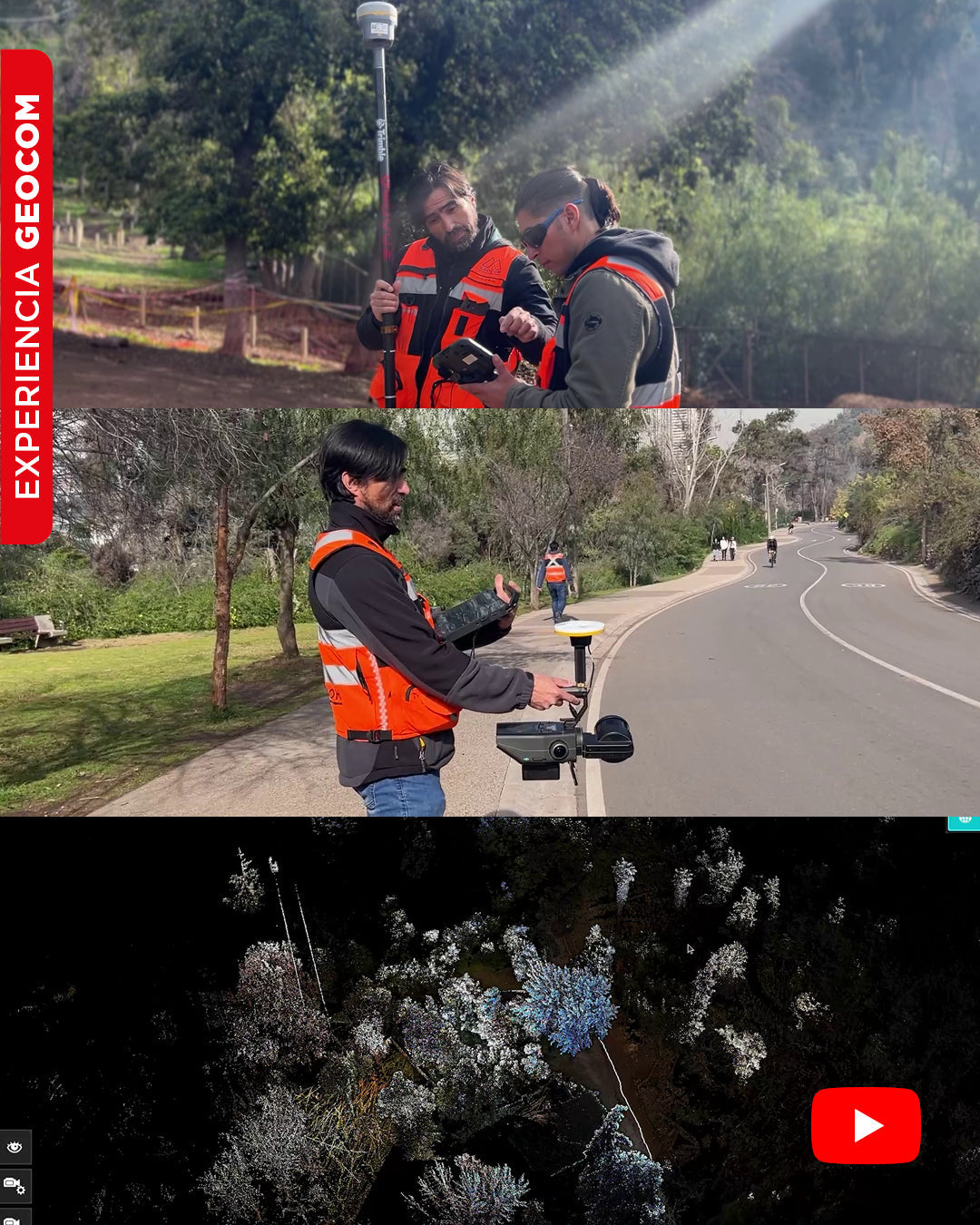
SLAM Technology in action: A real experience in the Metropolitan Park
In this video, we will show you an experiment carried out in Met Park, with the aim of obtaining a georeferenced point cloud using SLAM Exyn Nexys technology.
Gaussian SplattingKity K1L2 ProlccLixelLixel Cyber ColorMulti SlamNube de puntosprocesamiento de nube de puntosReality CaptureSLAMSoftwareXGrids
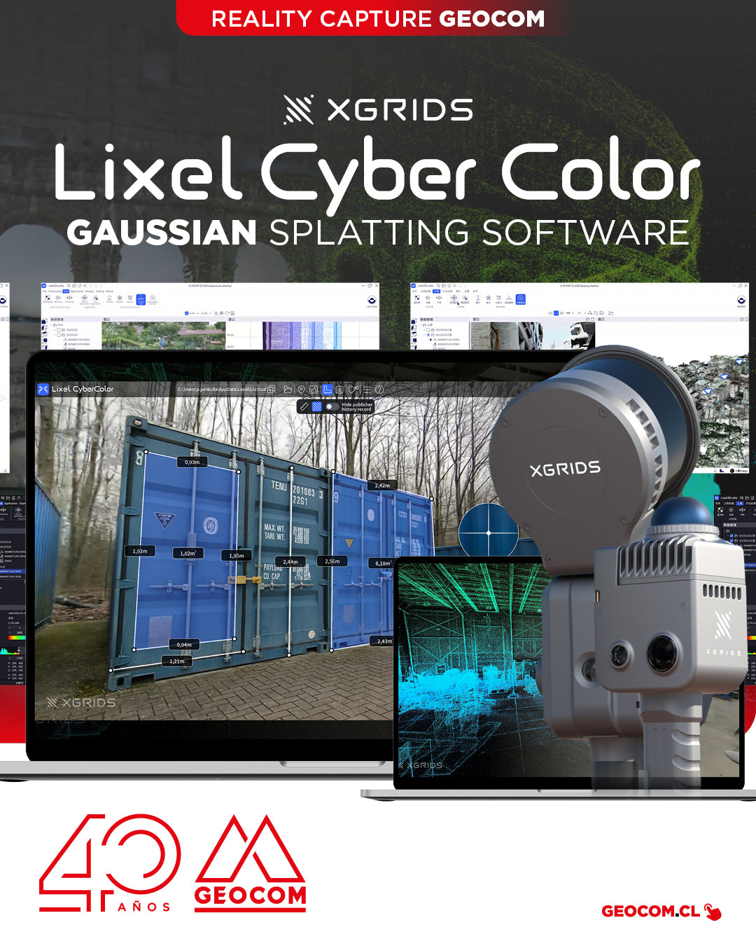
XGRIDS, a pioneer in geospatial intelligence and 3D perception technology, has officially launched the commercial version of Lixel CyberColor Studio v1.7.0 (LCC).
Escáner Láser 3DGemelos digitalesIMUInspección 3DK1L2 ProLiDARLixelMapeo 3DMulti SlamNube de puntosReality CaptureSLAMXGrids
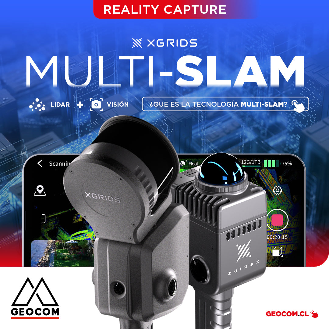
It is the technology that combines data from different sensors, such as LiDAR, cameras, and inertial measurement units (IMUs), to improve the accuracy and stability of simultaneous localization and mapping.
ExynExynPakInfraestructuraInspecciónInspección 3DMineríaMinería SubterráneaMobile MappingPiquesSLAMStockpiles
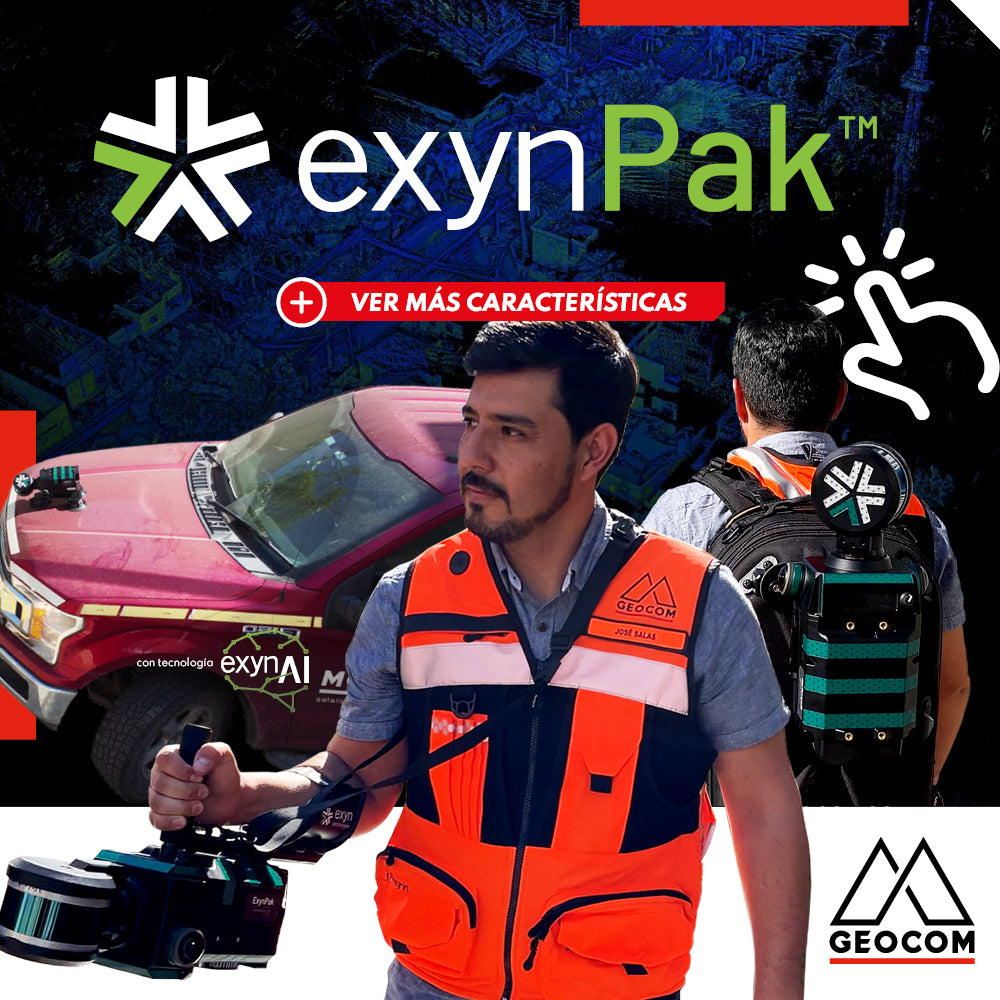
ExynPak | Mobile SLAM System for Challenging Environments
High-precision mapping system, based on SLAM technology developed by Exyn Technologies. This system is presented as a highly accurate solution for topographic representation, capable of generating 3D maps in real-time.
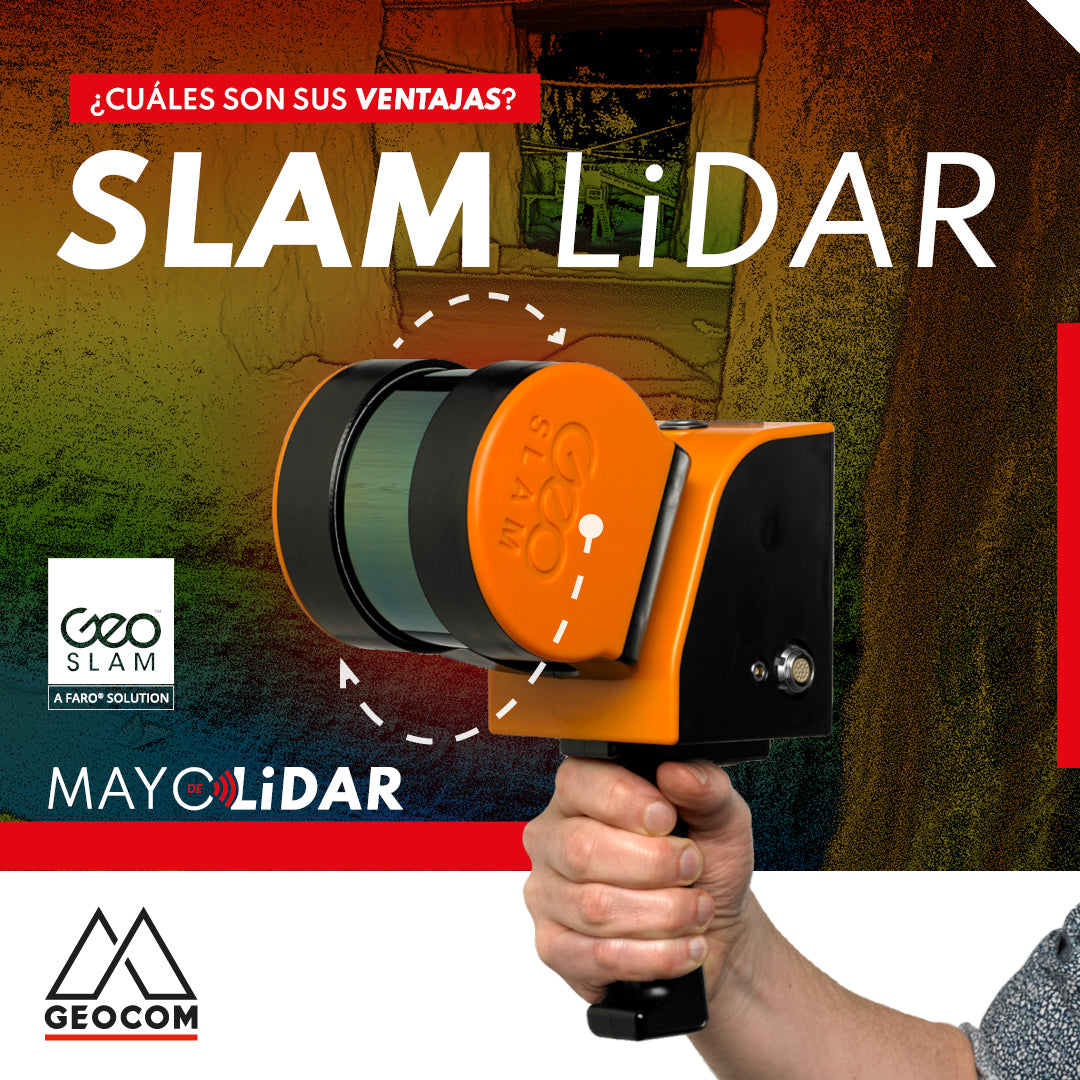
LiDAR SLAM: What are its advantages?
SLAM-based technology is being used with increasing frequency, and has been validated in different fields of engineering, such as mining and construction. The technology is in a full growth phase, but what are its advantages?