

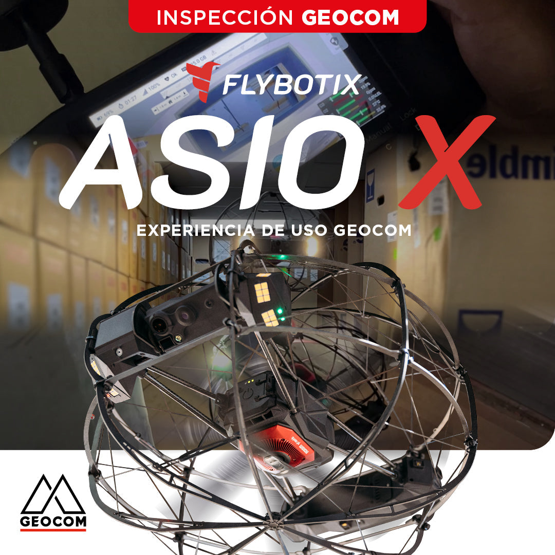
Flybotix ASIO X: GEOCOM User Experience
GEOCOM strengthens its commitment to technological innovation by welcoming Alejandro Quidiello, Flybotix Test and Quality Engineer, to its facilities. Quidiello provided comprehensive training on the ASIO X inspection drone system.
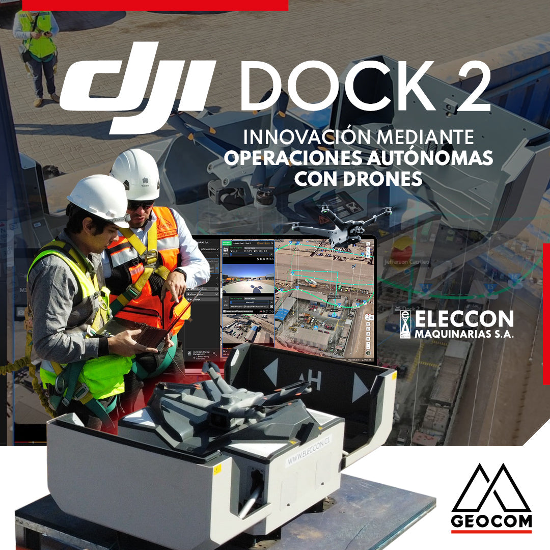
DJI Drones | Innovation Through Autonomous Drone Operations
In 2024, they have taken a very important step in innovation by acquiring the DJI Dock 2 with the Matrice 3D drone for photogrammetry and inspection with visible light.
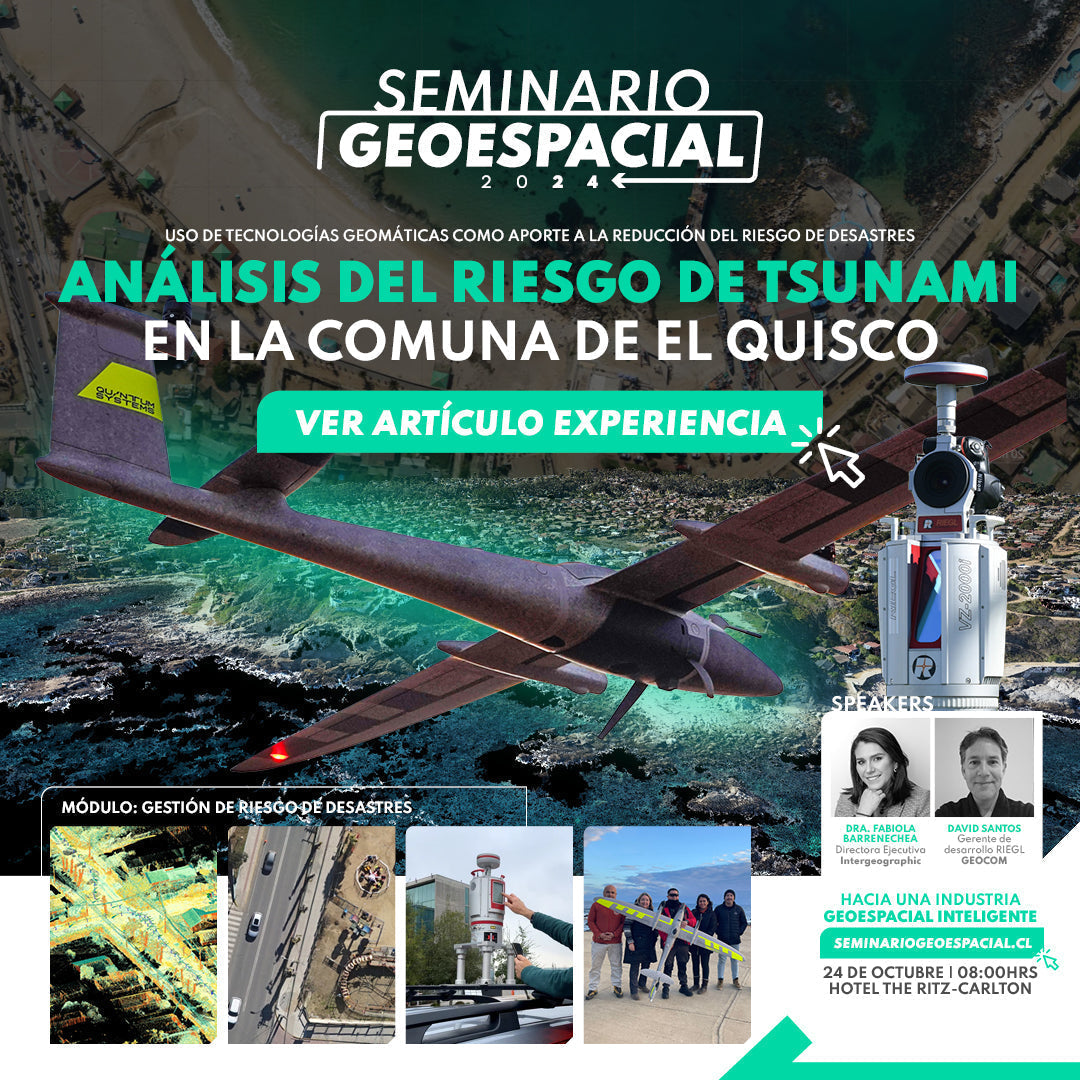
Tsunami risk analysis on the coast of El Quisco
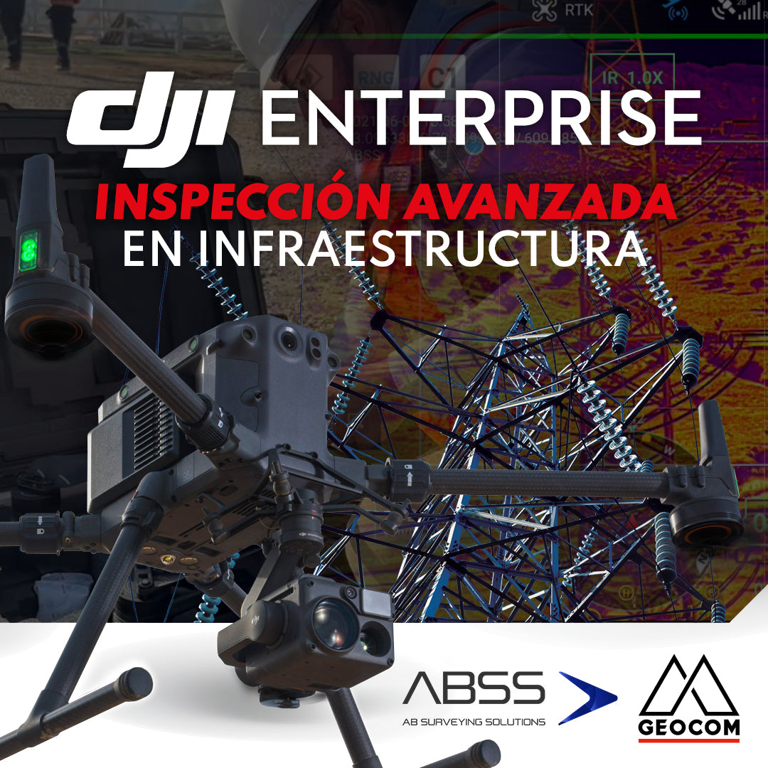
DJI Drones | Advanced infrastructure inspection
DJI drones have revolutionized inspections thanks to their advanced technology and versatility. These systems can be equipped with different types of high-resolution sensors (primarily RGB and thermal), which allow for capturing highly detailed photos and videos of various elements.
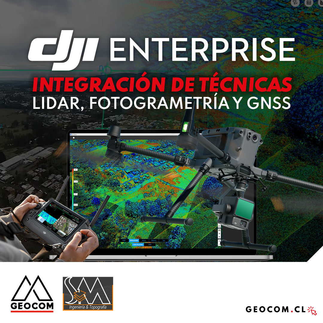
DJI Drones | Integration of LiDAR, Photogrammetry, and GNSS Techniques
Success story, where a project was executed integrating different geospatial capture techniques, using a DJI M350 drone with two sensors: Zenmuse P1 for photogrammetry and Zenmuse L2 for LiDAR. In this article, we will review the key points that made the use of both sensors necessary to provide a more representative and accurate capture of the area.