


Current Situation
Among the requirements for railway infrastructure is the ability to identify and survey all elements within the corresponding right-of-way from the axis of the railway lines, as well as to control track geometry and have precise information regarding the available right-of-way for optimal train transit.
In some projects developed by clients, the main objective is to use a new designed train on a railway line, which has a known cross-section or gauge, and where critical points of the route it will travel are to be estimated. Another project in which we have participated is quantifying and identifying critical points in advance for the evaluation of wind turbine blade transport, where due to their large size and length, they are considered a critical load, especially in curved areas, where it was necessary to estimate the feasibility of transport by this route.
These examples show the importance of having real, updated, precise, and representative data of the study area for various types of applications and projects.
Chile has an extensive railway network, where it is necessary to know its condition, assets, and topography for various purposes. Currently, the state railway company has a plan for the renovation and use of tracks, for which having updated topography with appropriate precision for each stage of the project to be developed is essential. Additionally, the existing topographic accidents on the route, given our geographical context, require the ability to estimate critical points to ensure a safe route within the projected plans of the project.
The use of Geospatial techniques such as LiDAR, offered by RIEGL in its static terrestrial, mobile terrestrial, and drone or helicopter-mounted modalities, allows meeting the challenges of high-precision capture, great representativeness (high spatial resolution), and feasible execution times for project requirements.
You can find a definition of LiDAR in our opinion column (https://www.geocom.cl/blogs/news/columna-de-opinion-tecnologia-lidar-que-sabemos-que-hemos-aprendido-y-que-esperamos), where Claudio Avello – RIEGL LATAM Regional Manager, presents RIEGL's perspective on the direction of future developments.
Additionally, you can find usage experiences on our GEOCOM Youtube RIEGL portal to review its application in other types of requirements in Infrastructure, Mining, and Road Projects.
Development of the San Rafael Station Project
San Rafael station has been declared a Historic Monument since 2017 due to its historical, artistic, and architectural value. In the late 19th century, it was an important point for the political, administrative, social, and economic integration of the southern regions, as a primary use of this new railway line was to transport agricultural products to the central ports of the country.

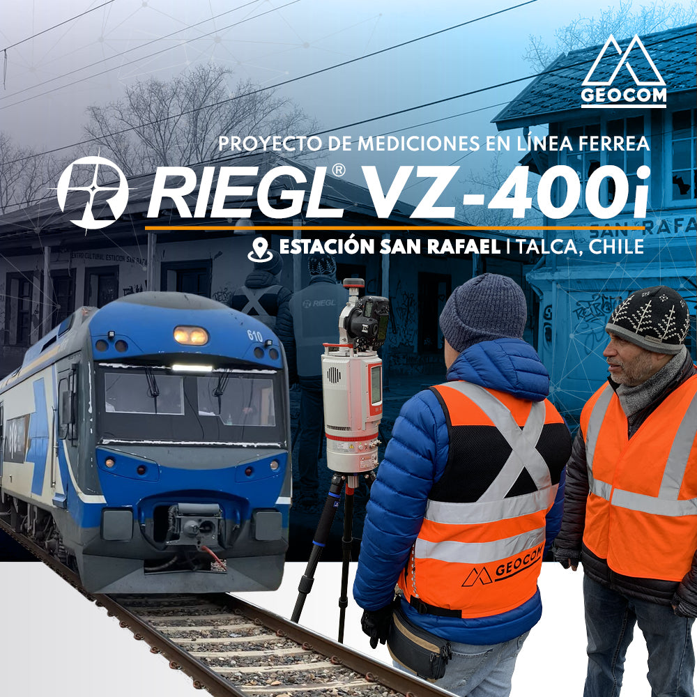
Its importance as a historical monument motivated us to execute a project using RIEGL LiDAR technology, specifically the VZ-400i laser scanner, to obtain point cloud data with color attributes, with the aim of presenting these results to the community and serving as a basis for future improvements.
This project was approached and executed in collaboration with Claudio Avello from RIEGL, utilizing the technology provided by the VZ-400i LiDAR equipment.
Among the results generated, we obtained the following:
- Point cloud in LAS format
- Floor plans with existing elements: high-detail planimetry
- Cuts or sections of different areas, to show with great precision the state of various sectors
- Identification of various existing assets
To carry out this project, we performed the following:
- LiDAR used: RIEGL VZ-400i (see technical sheet)
- Capture methodology: static, installed on an ultralight carbon fiber tripod
- A total of 78 scanner positions
- Execution time: 2 hours 5 minutes
- Approximately 950 million points
- Panorama 40 = 40 mdeg – 70mm resolution at 100m
- Cloud + photo capture = 46 seconds (simultaneously)
- 670m of railway lines and nearby access roads

The Panorama 40 mode was used to achieve a balance between the quantity of captured data, simultaneous capture of high-resolution photographic images, and an adequate capture time, establishing this scanning pattern as the standard.

In the data processing stage, and using RiscanPro 2.15 software (See RIEGL Tips), a set of tasks are automatically performed using the One-Touch Processing Wizard, which is a pre-established workflow with a total of 14 tasks.

One-Touch Processing Wizard
The following task groups are highlighted:
- Cloud filtering by reflectivity, deviation, and echoes, if required.
- Automatic registration and Multi-adjustment: in this process, the various sensors of the scanner can be fully utilized, along with GNSS and the Multi-adjustment tool. This process can be performed in the field in parallel with the capture on the VZ-400i, by activating On Board Registration.
- Camera calibration and cloud coloring: the initially established calibration for that particular installation can be improved to increase the accuracy of the cloud-to-pixel ratio. With this new calibration, the clouds are then colored for each scan.

- Identification of dynamic objects such as vehicles, people, or any element considered dynamic, and identification of clouds that are only present in a single scan, necessary to obtain the scene as filtered as possible from these elements that appear, especially in areas with high interaction, such as infrastructure and urban environments.


- Cloud spacing filtering: up to 4 different cloud spacing outputs can be defined, for subsequent export to other software and generation of deliverables. This, in conjunction with export in LAS format, allows the entire process to be carried out in a single workflow until a point cloud is obtained.
Deliverables – Product Generation
One of the tools we promote at GEOCOM due to its versatility, ability to integrate a large number of sensors and point cloud management, is Trimble Business Center – TBC software from Trimble (https://www.geocom.cl/products/software-trimble-business-center)
It is an ideal complement for managing point clouds from LiDAR, as it allows coordinating system management, classifying point clouds, and, with automatic and semi-automatic tools, vectorizing and transforming point clouds into vector elements to generate 2D plans, 3D plans, elevation views, and the entire project development with CAD tools.
For this project, a point cloud with WGS-84 origin and UTM projection was worked on in TBC, to allow for a visualization of the project based on reference images, such as Google Earth.
Thanks to the work of our colleague José Carrasco - Support Coordinator, GNSS & Optics Solutions Specialist, expert in the use of TBC, the following processes were carried out, generating the deliverables listed below.
- Point cloud classification
- Automated drawing of rails from the cloud
- Drawing of planimetry with CAD tools
- Automatic tree classification
- Automatic gutter drawing
- Cadastre applying feature library
- Point cloud sampling and surface creation
- Incorporating breaklines into the surface
- Generating contour lines
- Switching Trimble Connect background map
- 3D Route View
- Automated CAD sheet with Corridor and Drafting tools

Planimetry product generated in TBC.
To review this workflow in more detail, you can access the following video and find the complete step-by-step workflow.
Conclusions
Having a high-quality, high-precision, and highly representative point cloud is very important for executing automatic detection processes and generating vector elements to create different types of deliverables, depending on the requirements at each phase of a project.
For linear projects such as railway line projects, in a limited time and depending on the technique to be used or available, whether static or mobile, it is possible to carry out captures from several kilometers to several hundred kilometers, where an important point is to have equipment that delivers high-quality capture results and to have tools that allow managing this point cloud for correct and optimal post-processing and to generate quality products required by the different areas involved in a project of these characteristics.
We invite you to review this project in more detail and see how accessible it is to use this RIEGL LiDAR capture technique, along with well-established workflows from point cloud capture to the generation of different deliverables.
Compartir:
Trimble R12i Experience | Case 1
Is it necessary to configure map projections for total stations?