

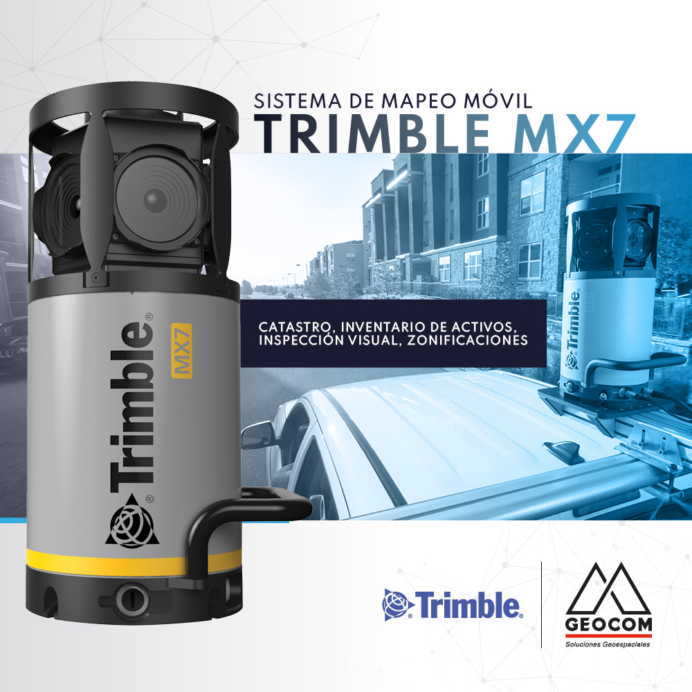

In this day and age, generating a cadaster or asset inventory is an extremely complex task. This is due to the need to capture data in high-traffic areas or over large extensions. These types of surveys are becoming increasingly necessary to capture the current situation of multiple assets in our environment, whether for updates, implementing improvements, or verifying their interaction with projected modifications.
In this regard, new Mobile Mapping techniques offer a significant solution for this type of work. The Trimble MX7 is a mobile image acquisition system that allows for fast, accurate, and safe data capture.

Compartir:
Adjustment of Observed GNSS RTK Networks
Carlson | Boretrak 2