

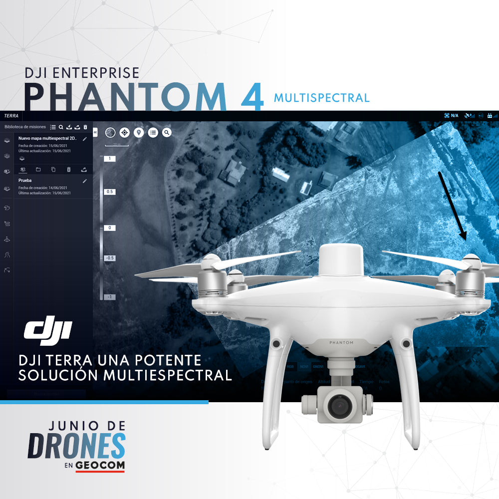

In recent years, the field of remote sensing applied to agriculture, mining, and natural resources has focused locally through UAS, which offer better spatial resolutions than satellite imagery. This allows for classifications and models with a smaller margin of error. The P4 Multispectral + DJI Terra emerges as a powerful solution in this field, given that the P4 Multispectral unit provides high performance, optimizing data capture in the field. This data, through DJI Terra, can be processed in 2 simple steps to obtain multispectral results such as NDVI, NDRE, OSAVI, among others.

Want more information about this solution? Write to us at uas@geocom.cl
Compartir:
Monitoring solution with total station | Trimble S9 HP and Trimble 4D Control
Seafloor Hydrone | Tailings Dam Floor Surveys