

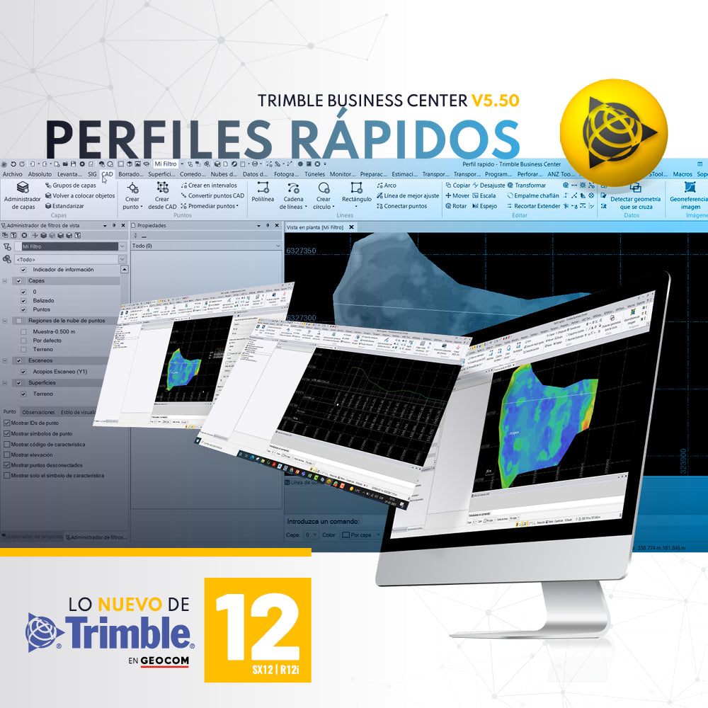

A required tool in any software associated with topography is to create quick profiles that are exportable, informative, or necessary to create reports or plans. It initially requires a configuration that allows us to create a template in VCL format to generate these profiles, which can be created from existing lines (CAD), or by selecting a pair of points on the screen to extract a profile. Once created, we can reconfigure the information to be displayed. It is also possible to use up to three surfaces, even showing their differences, ideal for demonstrating changes in the terrain.
If you want to discover more about these tools that Julio from Trimble series 12 brings us, you are still on time to register for our webinar | Practical experiences with Trimble R12i and SX12
 Thursday, July 29 - 11:00 AM [Chile] | VIA ZOOM
Compartir:
DJI Zenmuse P1, the most advanced drone photogrammetry camera
Fly your senseFly eBee X with custom terrain following