


Trimble Reality Capture: Capture, analysis, and collaboration Vol.2
Eleccon Maquinarias Experience
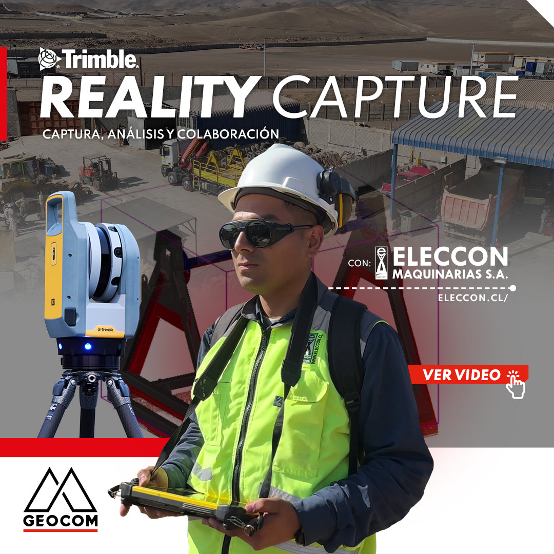
Our friends from Eleccon Maquinarias present a workflow for the design and manufacture of a stand for laying a mining cable. The experience is based on the use of tools from the Reality Capture portfolio, such as the Trimble X7 laser scanner, drone surveying, Trimble Realworks processing software, and the Trimble Connect collaboration platform. The latter promotes continuous communication both within their own team and with their clients, allowing for the fluid exchange of data in multiple formats, ranging from project documents to the visualization of 3D models and point clouds.

Capture
At the start of the project, a photogrammetric survey of the terrain is carried out using a drone. This phase is fundamental to establishing the project context and facilitating subsequent coordination and planning tasks. The valuable information collected is effectively shared through the Trimble Connect platform with all stakeholders, allowing for comments and suggestions on the generated model.

Subsequently, the process of scanning the pre-existing stand begins using the Trimble X7 equipment. This step facilitates the process, as our structural engineer will use this component as a basis for making adjustments to the stand's design to ensure it can support a 10-ton load, equivalent to the weight of the mining cable reel.

Once the 3D design model of the new stand is generated, the engineer prepares detailed plans for manufacturing. After its construction, a scan is carried out to verify that the component's construction conforms to the design plans.

After confirming that the stand met all necessary specifications and safety factors, it was approved for use on site, resulting in successful and safe implementation.
![]()
Compartir:
CONTEST! Geocom Calendar 2024
WINNERS | GEOCOM 2024 CALENDAR CONTEST