

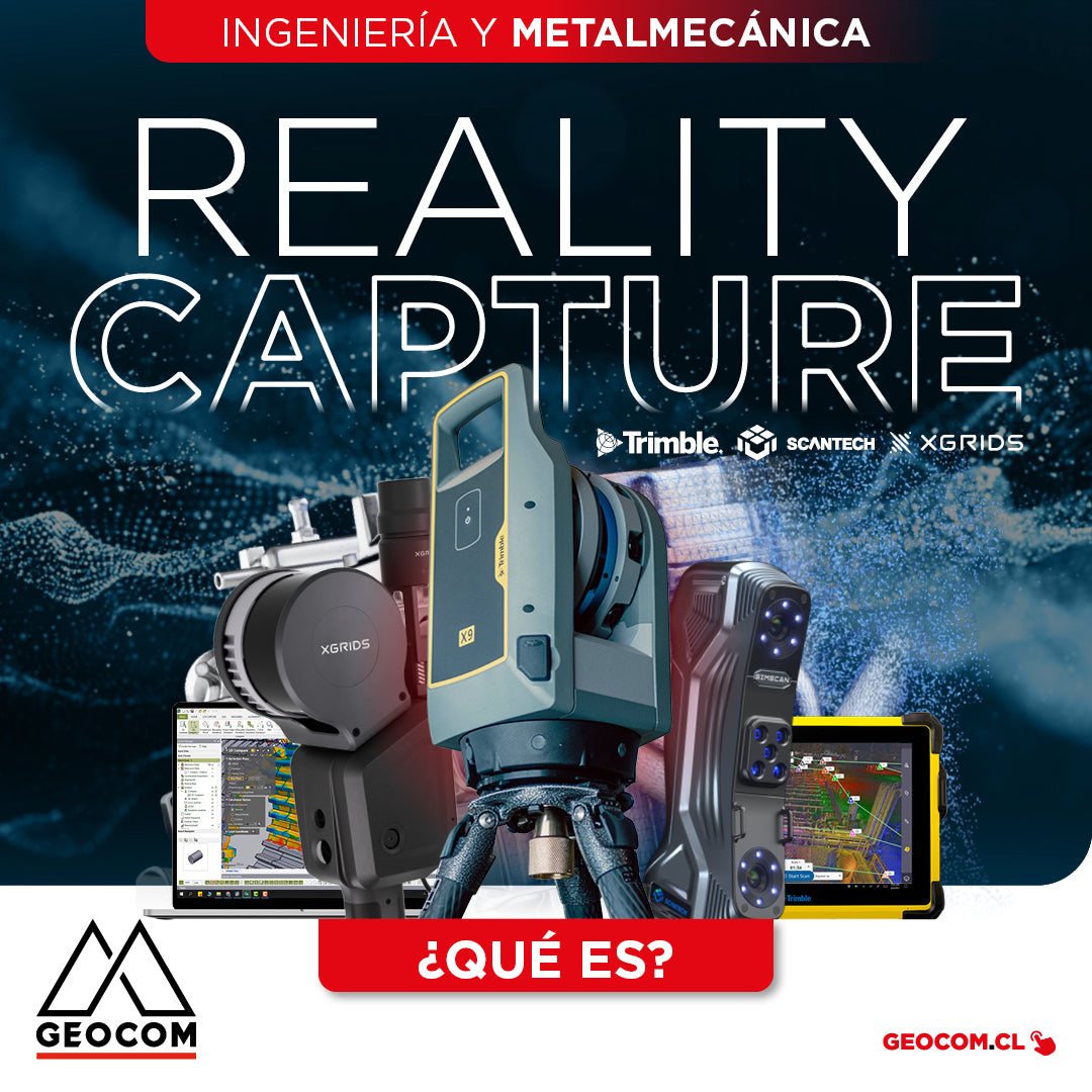

What is REALITY CAPTURE?
Engineering and Metalworking
The concept of "Reality Capture" encompasses a set of technologies that enable the digitalization of specific components or complete project environments through the use of laser scanning and/or imaging. These tools quickly capture geometry, generating point clouds that serve as the basis for various applications, such as the creation of As-Built models of industrial plants, reverse engineering, condition monitoring of components in operation or manufactured, among other applications.
It can be classified into different categories according to its method and application:
Metrology:
Scanners with accuracies up to 0.02 mm and a high level of detail. They are designed for digitalizing small and medium-sized components (less than 10 m).

Terrestrial Scanner:
Scanners with millimeter accuracies and long range. Ideal for surveying complete environments, such as industrial plants and large structures.

Multi-SLAM:
Scanners with centimeter accuracies, optimized for data capture in motion. They allow fast and efficient scanning, with a great capacity to generate geometric digital twins in dynamic environments.


METROLOGY
SCANTECH NIMBLETRACK
NimbleTrack marks the beginning of Scantech's third generation of 3D scanning systems, completely redefining 3D measurements. This advanced TrackScan system features a powerful configuration for markerless and cable-free operation, thanks to its integrated batteries and fully wireless communication devices, offering absolute freedom in its use.

SCANTECH SIMSCAN-E
The new SIMSCAN-E 3D scanner is an intelligent, wireless, and compact device. Its robust and compact design, combined with an advanced wireless data transfer system, sets a new standard in 3D scanning. SIMSCAN-E offers users exceptional freedom and flexibility to capture data in various scenarios, whether in a workshop, at elevated heights, outdoors, or even in places without access to electricity.


TERRESTRIAL SCANNER
TRIMBLE X9
High-speed laser scanner that integrates various advanced technologies to optimize data capture and processing. Its self-calibration system ensures precise measurements without the need for manual intervention, improving operational continuity and reducing maintenance costs. Together with the Trimble Perspective field software, installed on the T10X tablet, the Trimble X9 enables automatic in-field registration. This process is based on the use of a built-in IMU, an automatic leveling sensor, and the recognition of the geometric characteristics of the captured point cloud. As a result, scans can be viewed in 3D in real-time, facilitating measurements and annotations.


MULTI-SLAM
XGRIDS LIXEL L2 PRO
Represents the most advanced solution in portable 3D scanning technology based on MULTI-SLAM technology. This device combines high precision, portability, and an all-in-one integrated design, offering an efficient workflow, from data capture to real-time 3D point cloud reconstruction.


3D MODELING FOR ENGINEERING
Incomplete, outdated, or nonexistent plans?
In maintenance, renovation, or expansion projects for industrial infrastructure, the lack of geometric information is common. The absence of As-Built plans or the existence of incomplete and outdated plans that do not accurately reflect reality are common problems that can lead to significant costs and project delays. Therefore, it is essential to capture reliable and precise data on the current condition to generate the necessary documentation that will serve as the basis for new projects.

REVERSE ENGINEERING
Lack of CAD files, inefficient measurement techniques, inability to extract design intent?
Reverse engineering through point clouds is the most efficient and effective way to generate a faithful digital equivalent of a component. This is achieved by using laser scanners and specialized software that transform scanned data into high-quality and detailed CAD models. The goal is to generate manufacturing plans to replicate or redesign components that meet specific geometric conditions.

CONDITION MONITORING
When to replace a lining to optimize its use? How to control the quality of manufactured components?
To extend the lifespan of equipment or structure components, their condition is periodically monitored using laser scanners, which allows for temporary projections for optimized and planned lining replacement. Furthermore, in the quality control of manufactured components, their correct production is ensured, guaranteeing optimal fit and operation.
Compartir:
New GeoMóvil Geocom tour - March 2025
Trimble IonoGuard: A Vaccine Against Ionospheric Effects