

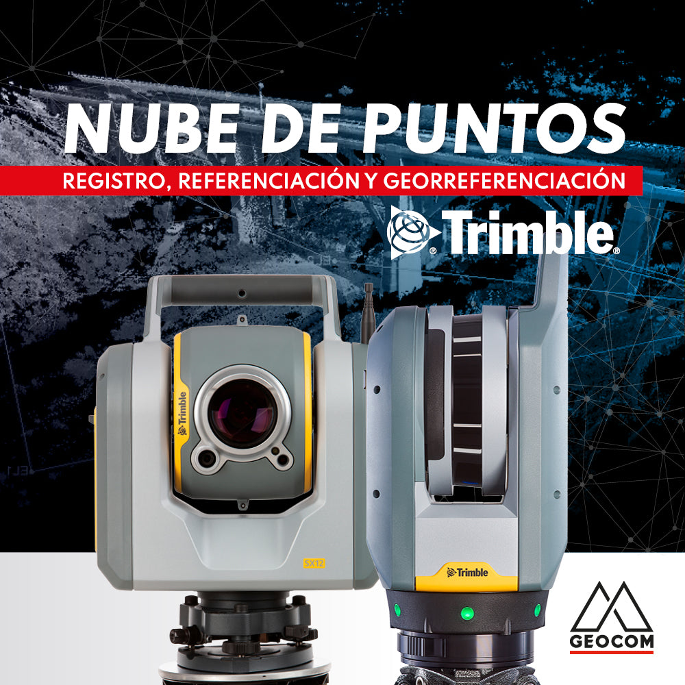

Point clouds represent reality in three dimensions with high representativeness. Depending on the sensor's capability and measurement conditions, the obtained cloud can vary in resolution and precision.
Fixed infrastructure laser scanner sensors, such as Trimble SX12 and Trimble X7, provide a field of view of 360° x 300° and 360° x 282°, respectively. This means that from a scanning position, it is possible to obtain a complete survey horizontally and partially vertically, not measuring only the bottom of the equipment, basically the area generated by the tripod on the ground. However, any obstruction in the scanner's line of sight will leave an area without data, making it necessary to change positions to complete the survey.
Each time a measurement is performed with a laser scanner, a local coordinate system is generated, defined by the laser source as the origin coordinates (0,0,0) and its orientation defined by the equipment's position.
All the different coordinate systems generated by position changes must be unified to obtain a single point cloud. For this, it is necessary to perform the registration, referencing, and/or georeferencing process.

Registration
It is the process of joining point clouds by means of artificial objects (not inherent to the measurement environment) or natural objects, to generate a single point cloud.
The registration process can be performed in the office, through processing in software like Trimble RealWorks or Trimble Business Center, or in the field itself, thanks to Trimble X7's field software, Trimble Perspective.
There are various methods for data registration:
-
Registration using artificial objects
Registration using artificial objects utilizes accessories such as spheres and black-and-white targets, which are placed in the measurement environment.

-
Registration using spheres
This method uses spheres (artificial objects) to join point clouds. Spheres are placed around the measurement area, taking care to avoid obstructions in the line of sight between scanner and sphere, and at an appropriate distance for correct definition (point density). In the next scanner position, it is recommended to have a view of at least 4 spheres from the previous position to perform registration with these coincident spheres. The procedure is then repeated with subsequent positions.
The greater the number of coincident spheres between one position and another, the greater the degree of freedom, benefiting the adjustment between positions.
Spheres should be positioned randomly (not following any pattern) and, if possible, well distributed horizontally and vertically, to control all measurement directions.
The distance at which the spheres are placed from the scanner depends on the point density used for measurement and the size of the spheres. This is to ensure good point density for subsequent recognition.
The material from which these spheres are made is resistant and minimizes possible deformations due to temperature and pressure. In addition, their diameter is defined with high precision to be used as control points.
The advantage of spheres compared to black and white targets is that they can be located at a greater distance from the scanner, are visible from any angle, and greater precision is obtained in registration.
By processing data in Trimble Realworks, it is possible to identify these spheres manually or automatically by searching and adjusting a sphere with an identical diameter. This way, the coordinate of the center of each sphere is obtained in the coordinate system of that scanner position.
This is repeated in all scanner positions, obtaining coincident control points but with different coordinate systems.
Realworks performs a terrestrial coordinate transformation, providing a data table with the precisions obtained from adjusting a theoretical sphere to the point cloud and the residuals between the same sphere measured from different positions. This allows for quality control, eliminating spheres with poor precisions and residuals, a result of poor geometry, vibrations, and/or movements, always taking care not to lose representativeness in geometric control.

-
Registration using black and white targets
This method uses targets (artificial objects) to merge point clouds. It follows the same field procedure as registration using spheres.
Black and white targets can be printed on plain or adhesive paper to facilitate their installation. Processing software looks for changes in the intensity of the black and white areas to identify their center and use them as control points.
The use of targets has the advantage of being simple and easy to produce, but they have certain limitations during measurement. Targets must be measured front-on, because if the measurement is done tangentially, center detection is not possible or loses accuracy. Furthermore, it is generally not recommended to place them at a distance greater than approximately 15 meters, as a high point density is required to correctly define their center.
Although targets can be used for the registration process, they are also used for referencing or georeferencing the point cloud, due to the ease of directly assigning project coordinates with a total station.
It is worth noting the Trimble X7 scanner, which has a control point measurement mode to reference point clouds in the field to the project's coordinate system.


-
Registration using natural objects
Natural object registration uses the components present in the measurement environment. It employs discrete extraction, both manual and automatic, as well as the point cloud itself in a massive way.
-
Registration by vertical planes
This tool is available in Trimble Realworks and Trimble Business Center software, which use the acquired point cloud to perform automated registration. The software searches for approximately 20 cm x 20 cm flat and vertical elements to be used in the adjustment. This is done across all stations, looking for coincidences.
It is ideal for enclosed environments with vertical walls and not recommended for open areas or tunnels.
-
Cloud-to-cloud registration
Cloud-to-cloud registration uses massive surveying, adjusting the clouds from two positions: a reference cloud assigned as fixed and a mobile cloud, which is adjusted to the reference cloud.
Using this method allows for greater productivity in the field, as it is not necessary to install spheres or targets for registration, but it may increase processing time in the office.
This method is susceptible to the point cloud's inherent noise and measurement conditions regarding the difference in movements of equipment in the environment. In industrial areas where multiple pieces of equipment are operating, the registration accuracy may be affected, or it may be necessary to remove those areas from the cloud-to-cloud adjustment.
This can also occur with the sphere and B/W target method, but the placement of each sphere can be better controlled to avoid movements or vibrations.
The choice of registration method will depend on the operating conditions of the sector and the required accuracy-productivity ratio.

Referencing:
Referencing involves positioning and orienting a point cloud within a defined local coordinate system.
Referencing is generally performed on an already registered point cloud, in order to transform a single point cloud that is in a local scanner coordinate system to a project coordinate system. This is what Trimble X7 does in the field thanks to its laser pointer, or the process carried out in the office with TRW or TBC.
On the other hand, the Trimble SX12 scanning total station, which has the ability to scan and set up the instrument with a traditional surveying workflow, allows each position to be referenced in the same coordinate system, which is different from registering. In referencing, point clouds do not interact directly with each other, but rather through a common coordinate system established by the scanning total station.
This workflow is ideal for open environments with long distances where overlap between scanner positions is complex. In these environments, extensive sightlines are generated that allow for high precision in the setup of each position. In contrast, in enclosed environments with reduced distances, it is not recommended due to short sightlines that can cause double layers between positions and the elevated time required by this method for multiple positions. For these reduced environments, Trimble SX12 can scan without referencing in the field, and then the registration process can be performed in the office with TBC.

Georeferencing:
Georeferencing is similar to referencing, but with the difference that it considers transforming the point cloud to a global coordinate system.
Compartir:
New Trimble Business Center 5.70 update
RIEGL VZ-400i | Railway Line Measurement Project