

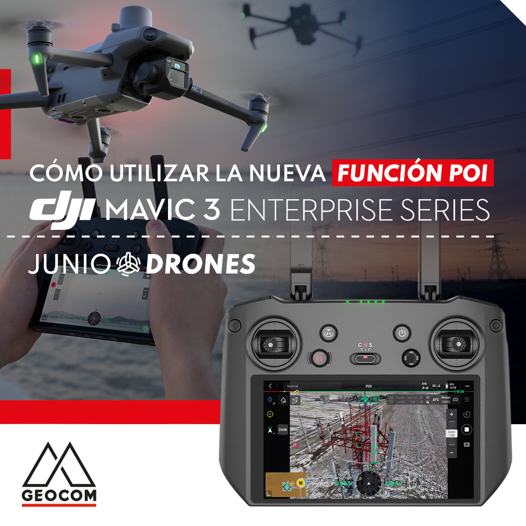

New POI intelligent flight mode for DJI Mavic 3 Enterprise
DJI recently launched the new intelligent flight mode POI (Point of Interest), which allows the Mavic 3 Enterprise drone to quickly orbit a central point of interest, with the aim of collecting 360° photographic views of the target. This type of photographic capture allows for better reconstruction of the verticalities of an infrastructure or area of interest.

The POI flight mode works very simply thanks to the DJI PILOT 2 flight software present in the Mavic 3 Enterprise remote control: first you have to fly manually to the area of interest, then set a point on the target, then move back a little and position the camera at an appropriate angle, to finally activate the POI function. In this way, all that remains is to activate the drone's lateral displacement so that it begins to orbit the point of interest at a configurable speed, capturing photographs at a time interval determined by the user.
This survey method is very useful for the reconstruction of vertical structures such as electricity or telecommunication towers, buildings, monuments, etc. In addition, it allows public safety personnel to quickly reconstruct accident scenes or other similar scenes.


GEOCOM is an official distributor of DJI Enterprise and provides a solid training program for all the equipment and software it sells, updating it whenever new functionalities like this arise.
If you want more information about our UAS equipment, write to us at uas@geocom.cl
Compartir:
Drone and echo sounder integration for bathymetric surveys
June Drone Webinar | UgCS Software for Advanced Drone Planning