

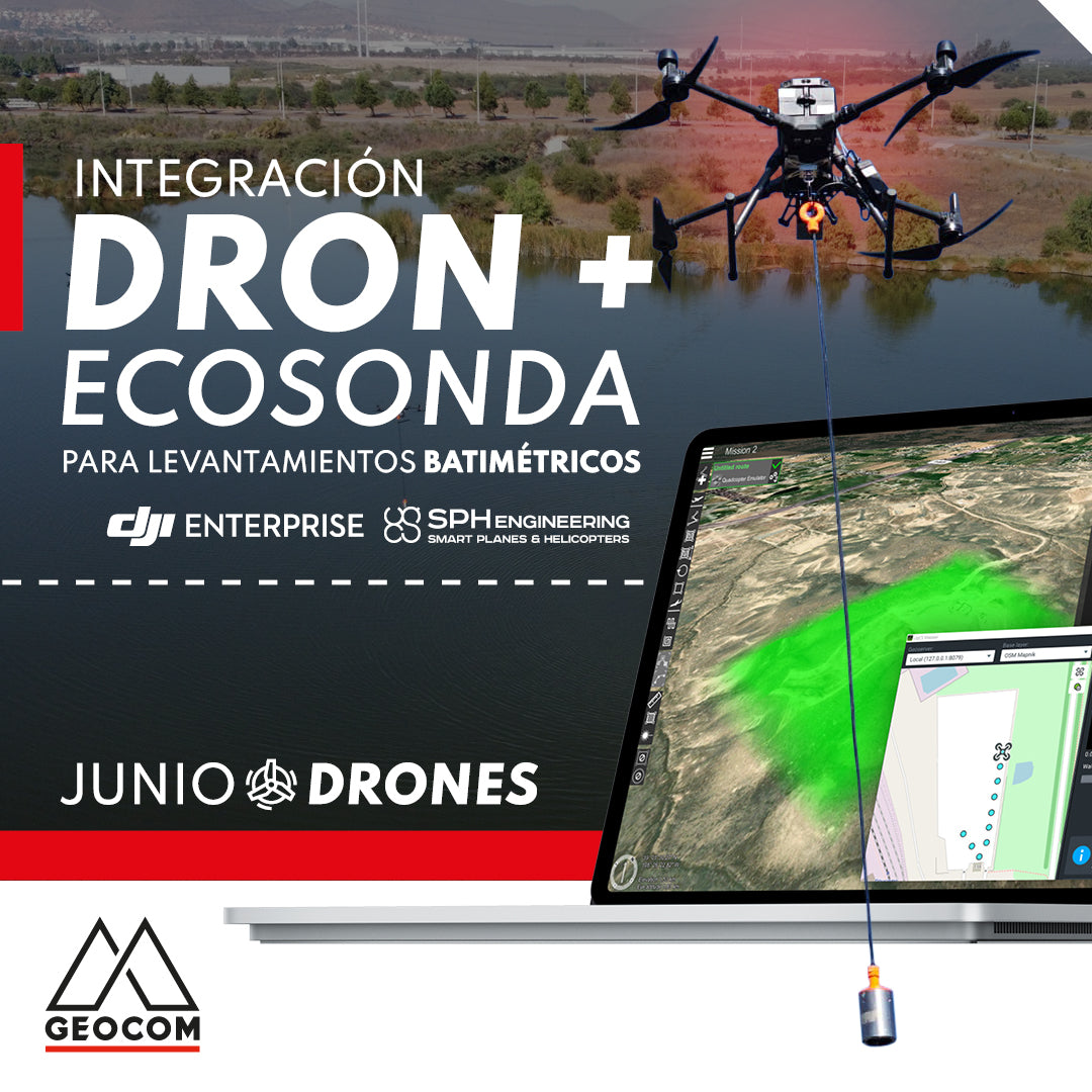

Drone and Echosounder Integration for Bathymetric Surveys
Bathymetry is the technique used to measure water depth in oceans, rivers, lakes, and other bodies of water such as tailings dams, creating a detailed reproduction of the seabed's relief. The standard measurement tool for bathymetry is the echosounder, which is traditionally mounted on a manned vessel or a USV (unmanned surface vehicle).
Today, thanks to the integration provided by SPH Engineering, it is possible to mount an echosounder on a drone or UAV (unmanned aerial vehicle), allowing for bathymetric surveys to be carried out more efficiently and with several advantages over traditional methods. Drones are compact and easy to transport and deploy, have high precision in following planned flight lines, can quickly reach hard-to-access areas, and fly over small bodies of water where it would be impossible to use a boat. This also represents a significant contribution to the safety of fieldwork, by preventing people from entering the water or moving along marshy edges.


The integrated system consists of a DJI Matrice 300 RTK drone, an echosounder suspended from the drone by a cable, a radar altimeter to measure precise height above the water surface, an onboard computer called SkyHub, and UgCS software for flight mission planning. The echosounder is an EchoLogger brand, model ECT 400S, it is a single-beam and single-frequency (450 KHz) type, and its measurement range is from 0.15 to 100 m.


GEOCOM is the official distributor in Chile for DJI and SPH Engineering, and is conducting demonstrations with this system in various scenarios, according to the needs of clients from different sectors of national industry.


If you want more information about this or other UAS equipment, write to us at uas@geocom.cl
Compartir:
Trimble GNSS and its combination with DJI
New POI intelligent flight mode for DJI Mavic 3 Enterprise