

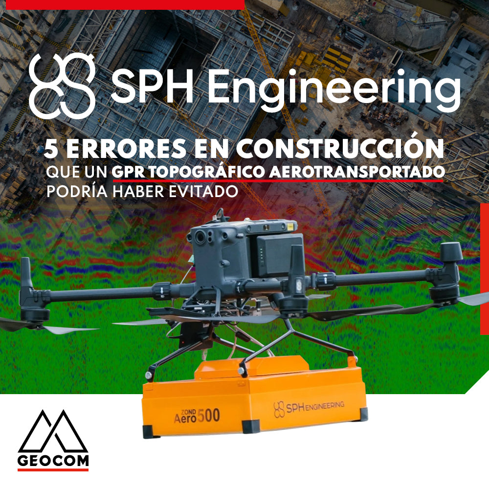

5 Construction Errors an Airborne Topographic GPR Could Have Avoided
Original Text: SPH Engineering Website
Are you planning to work on a large construction or excavation project? If so, you shouldn't forget an important step in this process: utility mapping. This involves identifying the exact location of all underground utility infrastructure, such as gas lines, water pipes, power lines, and communication lines, among others, to avoid accidentally damaging them in the process and prevent being responsible for a large and costly disaster.
That's why, in this note, we teach you 5 common mistakes made when performing a utility survey, and knowing them will help you have all the necessary information to perform this job correctly.

1. Failure to conduct a comprehensive survey:
Utility mapping involves locating all underground utilities, including gas, electrical, water, and telecommunications lines. One of the most common mistakes is failing to conduct a comprehensive survey and missing some utilities, which can lead to serious safety risks and unexpected delays during construction. For example, in 2015, a gas leak occurred in a Seattle suburb during construction work. The leak was caused by a contractor hitting an unmarked gas pipe while excavating, leading to an explosion that destroyed several buildings and injured several people. The cause of the accident was attributed to inaccurate utility mapping, which failed to identify the location of the gas pipe.

2. Relying on outdated or inaccurate information:
Another mistake is relying on outdated or inaccurate information about the location of utilities. Utility maps can quickly become obsolete, particularly in urban areas where new utilities are constantly being added or updated. Using outdated maps can lead to damage to existing utilities or missing new ones. This was the case in 2019, when a water pipe burst in a residential area of California, flooding several homes and causing extensive damage. The cause of the burst was found to be due to construction work damaging the water pipe, as contractors did not have accurate information about the pipe's depth.

3. Not using the right technology:
There are several technologies that can be used to map utilities, such as ground-penetrating radar known as GPR, electromagnetic locators, and utility locators. Using the wrong technology or not using any technology can result in inaccurate mapping. In 2020, a construction crew in Florida struck a gas pipeline, causing an explosion that injured several workers. The cause of the accident was attributed to inaccurate utility mapping, which failed to accurately identify the location of the gas pipeline.
4. Not accounting for depth:
The depth of underground utilities can vary, and failing to account for this can result in inaccurate mapping. This can be particularly problematic in areas with multiple levels of utilities or in areas where the ground is uneven. Five years ago, a utility company in the UK was fined after it was found that it had relied on outdated utility maps while excavating for gas pipelines. The company failed to update the maps and did not conduct a comprehensive survey, resulting in inaccurate maps and damage to existing utilities.
5. Lack of communication:
Finally, a lack of communication between utility mapping teams and other construction teams can result in inaccurate mapping. Communication is crucial to ensure that all teams are aware of the location and depth of utilities and can avoid damaging them during construction. In 2016, a construction crew in California struck a power line while excavating, leading to a power outage in the surrounding area. The cause of the accident was attributed to inadequate communication between the utility mapping team and the construction crew, who were unaware of the location and depth of the power line.

Why airborne GPR is considered a preventive measure against these and other errors
To prevent the aforementioned errors, the use of airborne ground-penetrating radar (GPR) technology can provide more accurate and comprehensive utility mapping, identifying a wide range of subsurface features and reducing the risk of damage to underground utilities during construction work.
Here are some of the benefits of using airborne GPR:
• Access to complex sites: Drone-mounted GPR systems can access sites that are typically very difficult, dangerous, or impossible to access with traditional ground-based methods.
• Productivity: Inspection time is much faster with a drone using automated missions compared to other traditional methods. Additionally, a drone can cover large areas quickly and efficiently, making it a valuable addition to any utility mapping process.
• Accuracy: Survey accuracy increases by using the drone's GPS signal. Each survey line is perfectly straight and evenly spaced, whereas traditional methods are much less accurate.
• Capture of additional data: Drones can perform value-added services on site and collect additional data useful for data interpretation, such as magnetometry, imagery, and orthomosaic mapping. Drones can also be equipped with other sensors, such as methane detectors, thermal cameras, LiDAR mapping sensors, etc.
To receive further advice regarding this type of technology and its application to projects in Chile, you can contact us and schedule a call or meeting.
Compartir:
Trimble Forensics: Software Reveal
Trimble Forensics Reveal: Scene Digitization