

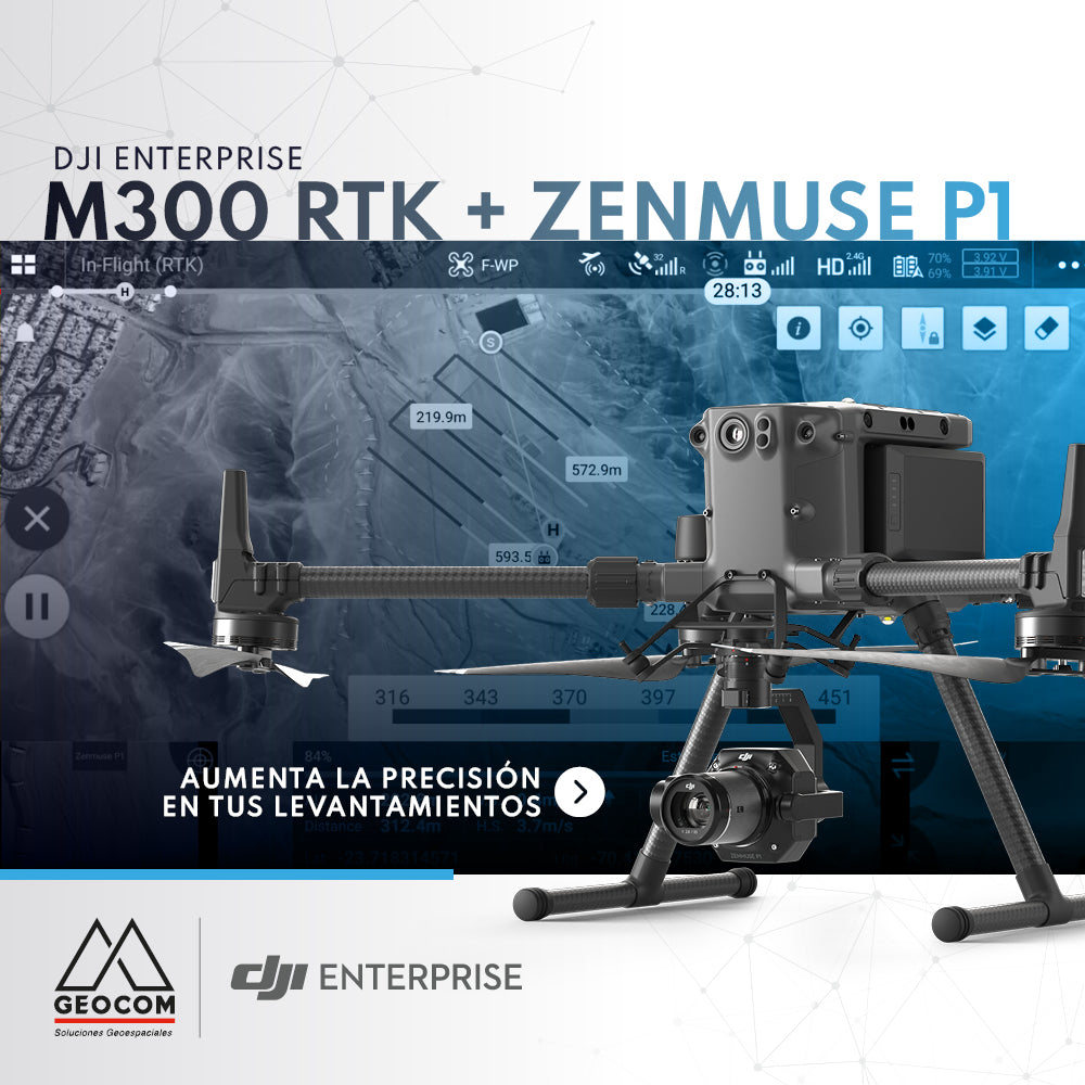

DJI M300 RTK + Zenmuse P1: Increase the Accuracy of Your Surveys
The new M300 RTK + Zenmuse P1 geospatial solution allows us to survey areas with terrain following like never before. The DJI Pilot recognizes a DEM from a reliable source or one that has been self-generated, allowing us to follow the terrain by varying the height within the same flight line, ensuring operational safety at all times and improving the accuracy of our survey, maintaining the least variable GSD possible.
If you are interested in learning more about this new geospatial solution, please write to us at: uas@geocom.cl
Compartir:
Trimble Total Stations Auto-Targeting
RIEGL - Terrestrial Mobile Scanning System