


Trimble S7 | Advanced Robotic Solution
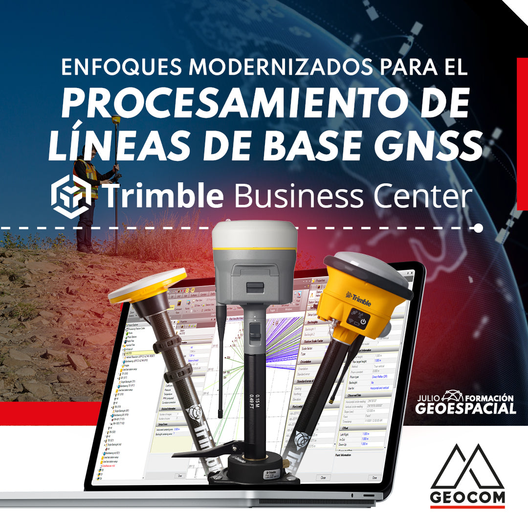
Modernized Approaches for GNSS Baseline Processing in Trimble Business Center
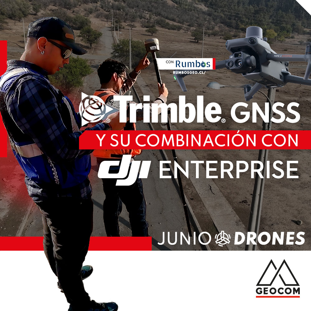
Trimble GNSS and its combination with DJI
The georeferencing of photogrammetric products is a key aspect for their use in different applications, allowing for the maintenance of a unique reference that enables robust and accurate multi-temporal analysis.
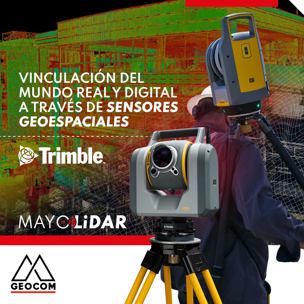
Linking the real and digital worlds through geospatial sensors
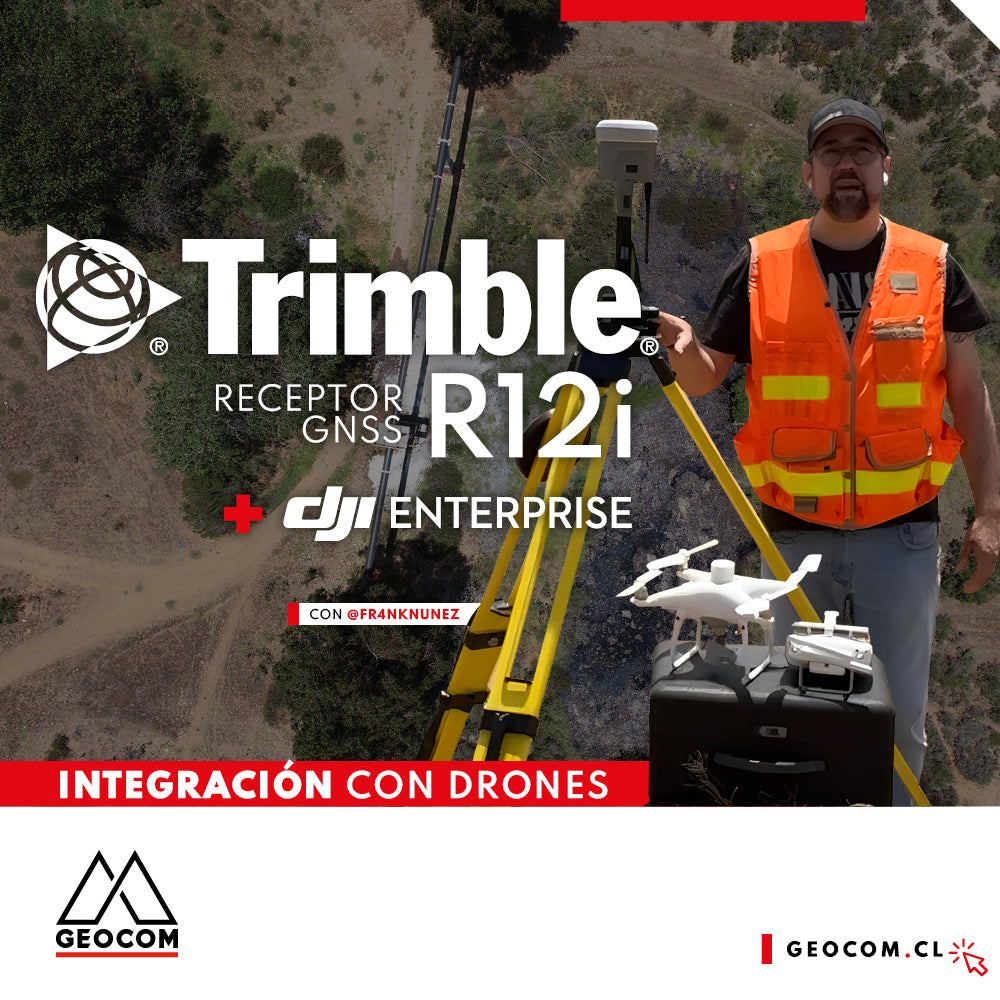
Case 5 Trimble R12i | Drone integration
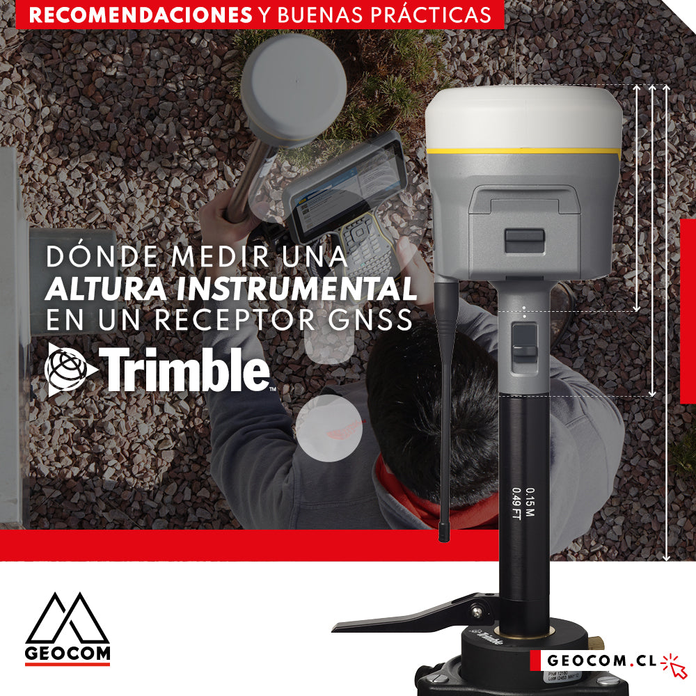
Where to measure an instrumental height on a Trimble GNSS receiver?
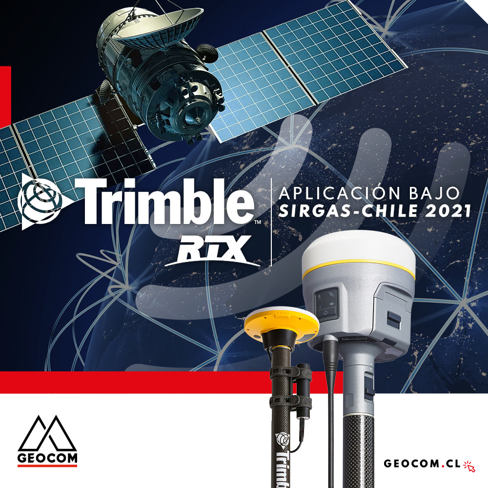
Trimble RTX application under SIRGAS-Chile 2021
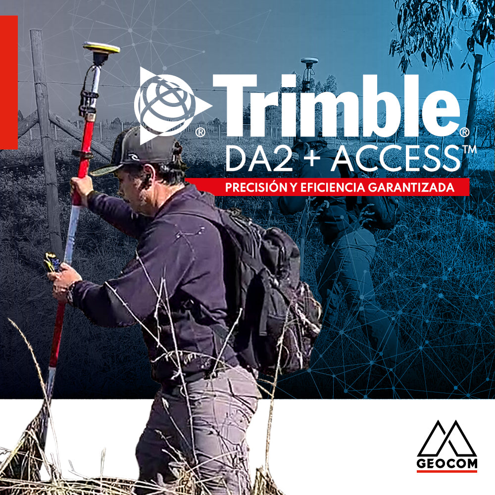
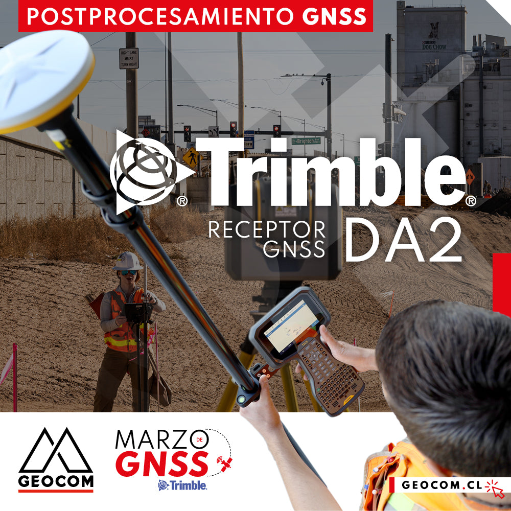
Trimble DA2 + Access™ Guaranteed Precision and Efficiency
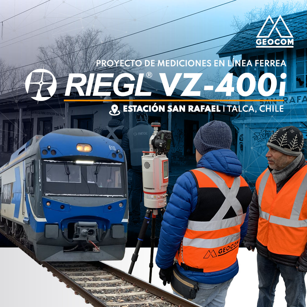
RIEGL LiDAR | San Rafael Station Railway Infrastructure
We invite you to review this project in more detail and see how accessible it is to use this RIEGL LiDAR capture technique, along with well-established workflows from point cloud capture to the generation of various deliverables.
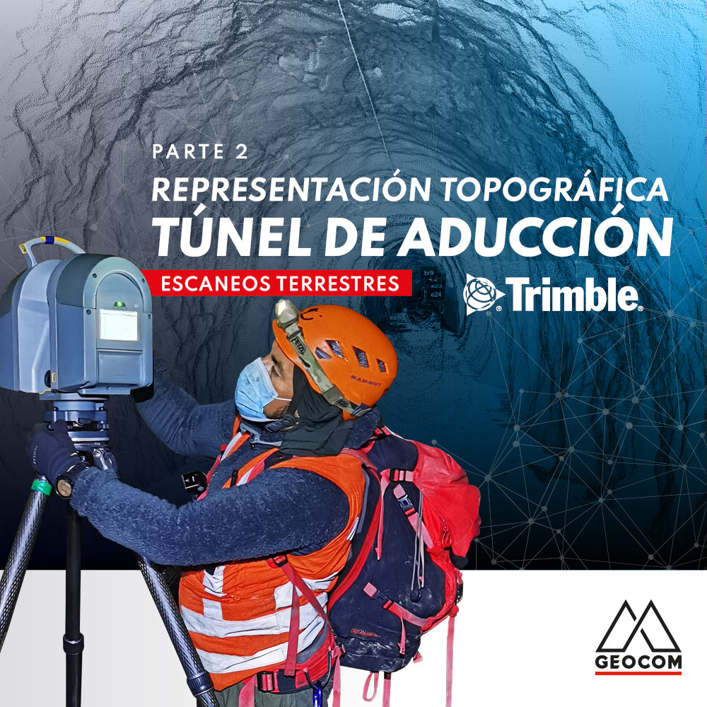
Topographic Representation of the Adduction Tunnel | Part 2
In this second part of the experience with Rumbos Geomensura, we will show the laser scanning process carried out in the field, as well as the handling of the point cloud to go from isolated scan positions to a registered and correctly georeferenced point cloud to obtain final products that represent the existing geometry.
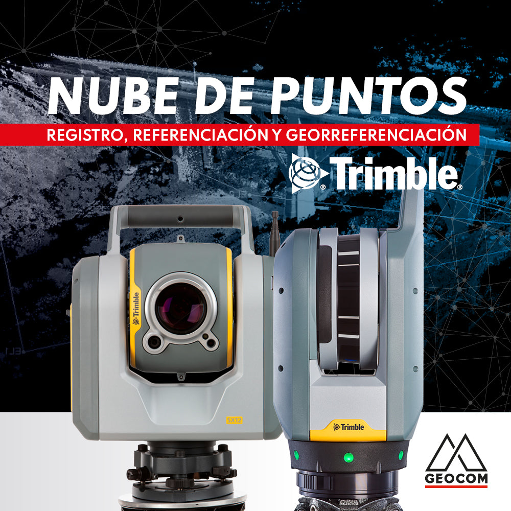
Point cloud: REGISTRATION, REFERENCING, AND GEOREFERENCING
Point clouds represent reality in three dimensions with high representativeness. Depending on the sensor's capabilities and the measurement conditions, the resulting cloud can vary in resolution and accuracy.
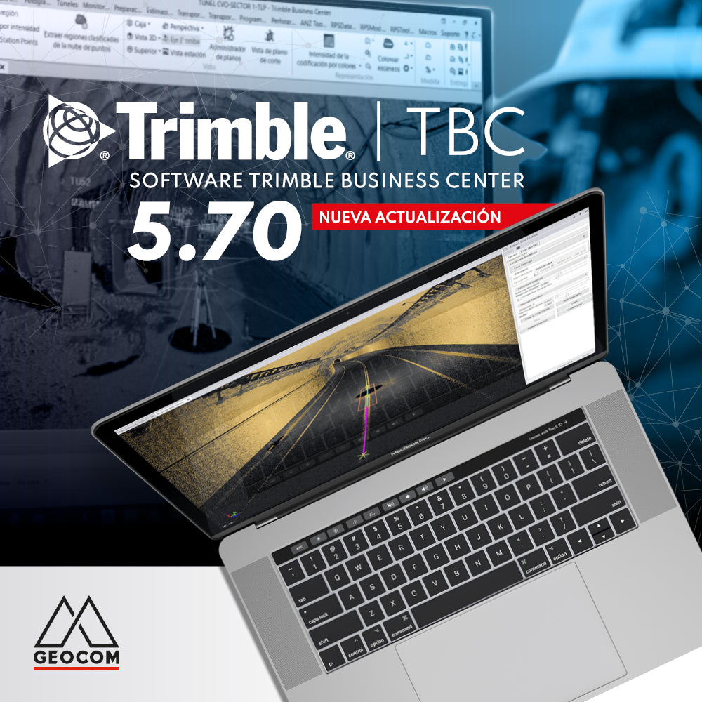
New Trimble Business Center 5.70 update
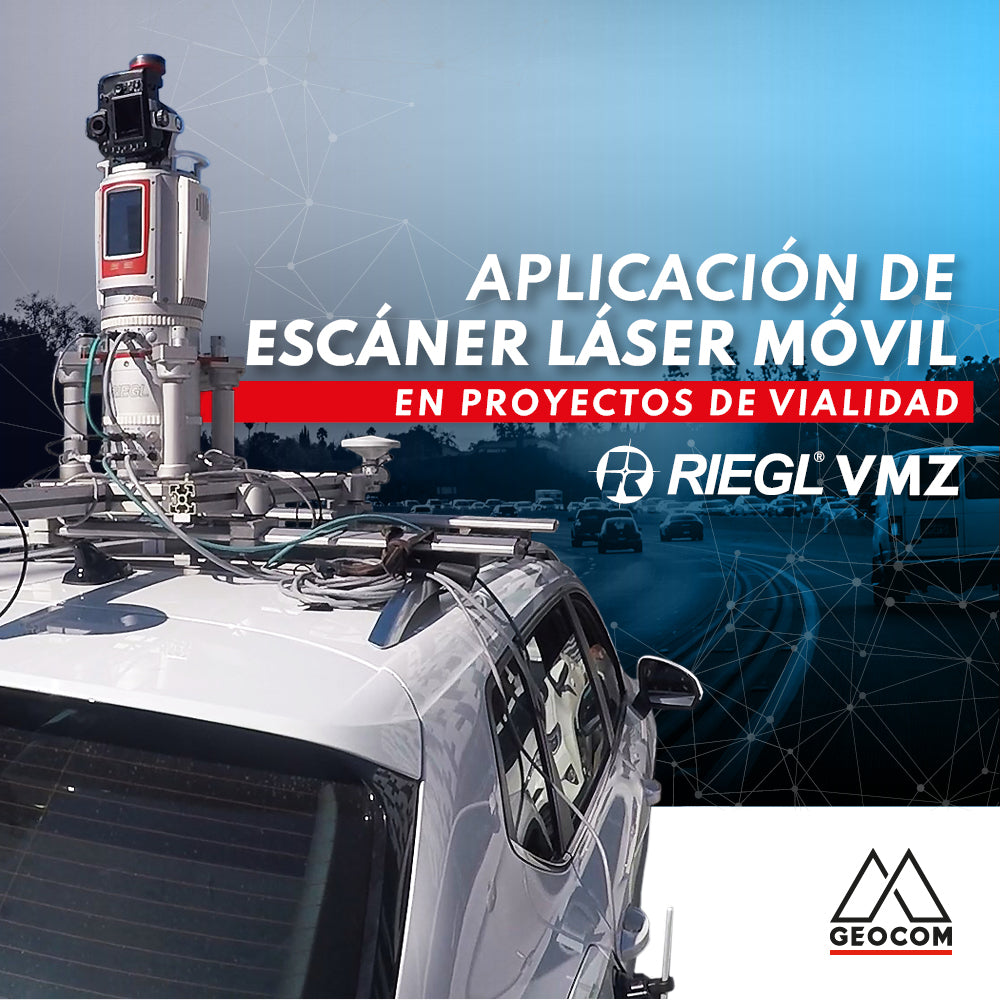
Mobile Laser Scanners in Road Projects
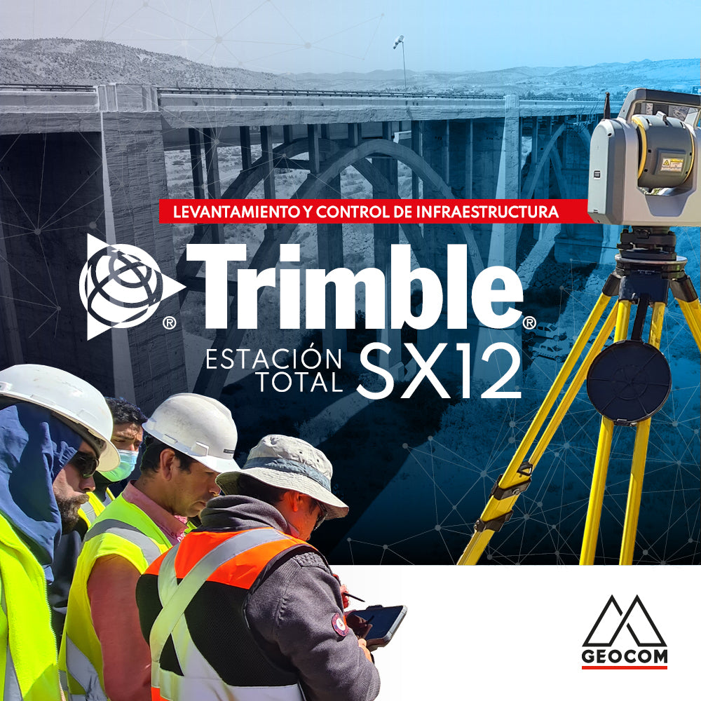
Infrastructure Surveying and Monitoring with Trimble SX12