


Introduction
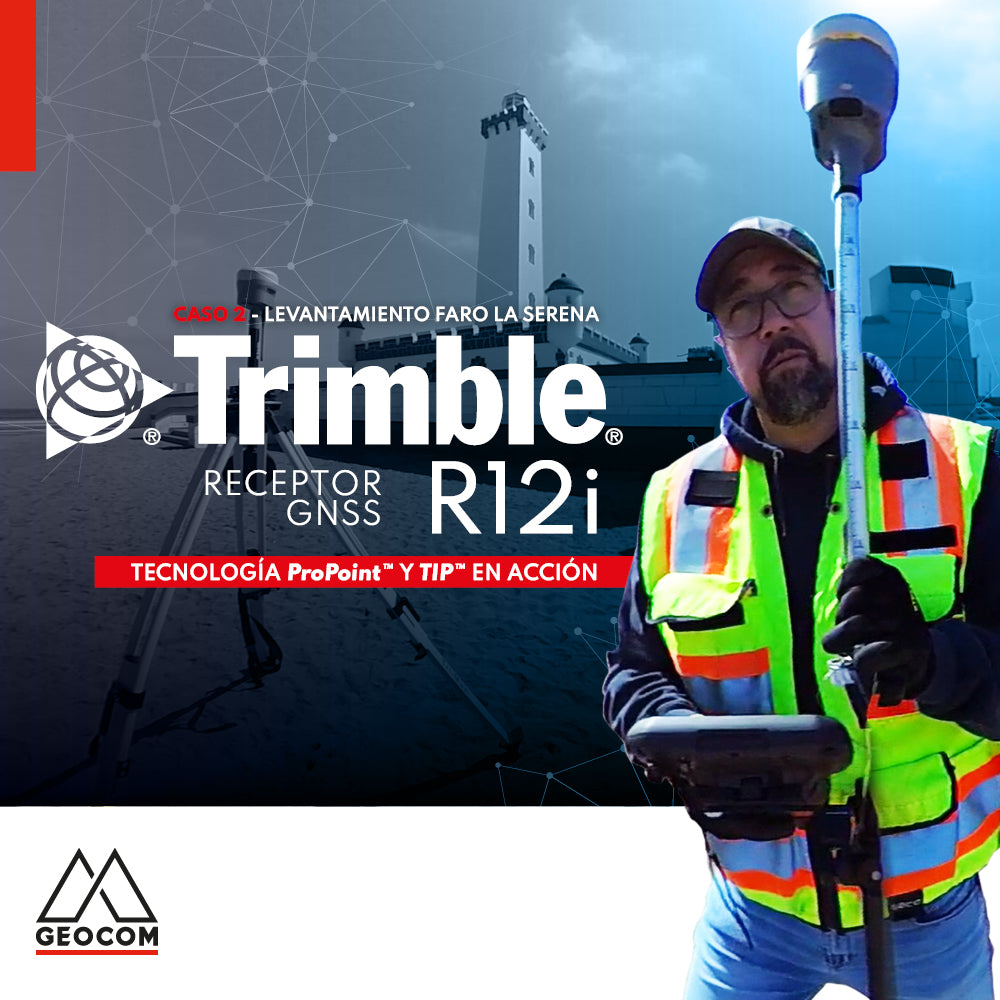
An analysis will be performed on the survey conducted with Trimble R12i in RTK mode using all available GNSS constellations and signals. This analysis will focus on the reliability that each point offers in a localized geometric context.

Fig 1. Topographic survey, view from observed baselines
Some statistics
125 baselines were observed, allowing the determination of the coordinates of each point, thus creating a sufficiently detailed topographic representation for the intended purpose, in a total time of 28 minutes and 24 seconds.
Each point was determined using the rapid point methodology, therefore, the results can be improved by implementing a topographic point.

Table 1. Productivity Report
Below is a statistical summary of the survey:
| Horizontal Precision (m) | Vertical Precision (m) | Satellites | Tilt Distance (m) | |
| Mean | 0.0230 | 0.0312 | 22.7 | 0.7060 |
| Std. Dev. | 0.0066 | 0.0079 | 3.2 | 0.2549 |
| Maximum | 0.0459 | 0.0541 | 27 | 1.3998 |
| Minimum | 0.0124 | 0.0208 | 14 | 0.2265 |
Table 2. Statistical summary
COMPARING GEOMETRIES
Simple and perfect geometries will be considered (this may not be the case); therefore, the comparison is based on the R12i's ability to correctly relate different geometries.
Reobserved points

Table 3. Comparison of reobserved points
Lines

Fig 2. Observed lines
| Line | Number of points | Root Mean Square Error (m) |
| 1 | 4 | 0.0253 |
| 2 | 4 | 0.0207 |
| 3 | 4 | 0.0052 |
| 4 | 4 | 0.0136 |
Table 4. Root mean square error in line adjustment
Arcs

Fig 3. Observed arcs
| Line | Number of points | Root Mean Square Error (m) |
| 1 | 9 | 0.0769 |
| 2 | 8 | 0.0256 |
| 3 | 8 | 0.0868 |
| 4 | 10 | 0.0902 |
| 5 | 12 | 0.0379 |
Table 5. Root mean square error in arc adjustment
Conclusions
A series of observed geometries were analyzed based on a set of points whose coordinates were determined using rapid point. Furthermore, it is assumed that the geometries are perfect and that it is the points that introduce some noise (which is not correct, but is considered this way to simplify the explanation).
The results obtained can be considerably improved by applying a technique that offers greater precision. For this, the use of the topographic point technique is recommended.
About Frank Nuñez
Instagram: @fr4nknunez
YouTube: https://youtube.com/user/fnunez31
TikTok: frank.nunez
Compartir:
National Holiday 2022 Hours
The drone revolution in inspection tasks