


JUNE DRONE WEBINAR | Drone Inspection
Drones are a fundamental tool not only for capturing geospatial information but also for inspection tasks, where they are being used more and more thanks to the enormous benefits they provide.
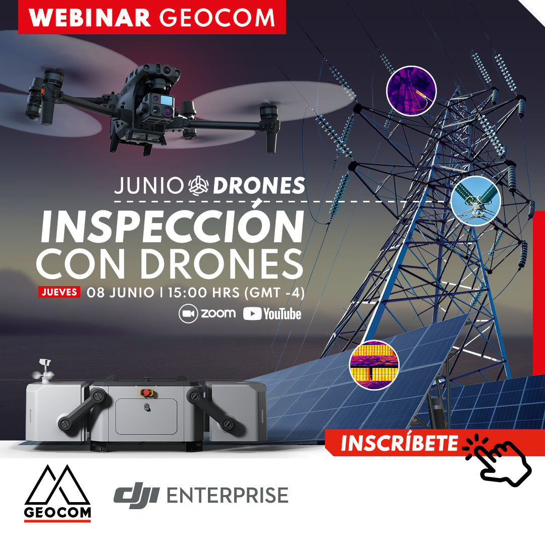
In this webinar, we will review in detail the characteristics of the drones used in inspection, as well as the specifications of their RGB and thermal cameras. We will show application examples in various areas of industry, such as energy, construction, security and surveillance.

 THURSDAY, JUNE 08 | 3:00 PM TO 4:00 PM - GMT-4 | VIA ZOOM & YOUTUBE LIVE
AGENDA
| ⨭ Equipment portfolio for inspection |
| ⨭ Inspection of towers and power lines |
| ⨭ Applications in emergency situations |
| ⨭ Inspection of photovoltaic plants |
| ⨭ Inspection of wind turbines |
| ⨭ Applications in construction |
| ⨭ Automation with the new DJI DOCK |
INSTRUCTORS

Cristian Michell | UAS Product Manager
Execution Engineer in Geomensura from USACH, graduated in 2006, from which date he has practiced his profession in various areas of national industry, especially in mining. In 2011 he joined GEOCOM, and since 2012 he has held the position of UAS (Unmanned Aerial Systems) Product Manager.

Óscar Moreno | UAS & Drone Solutions Specialist
Execution Engineer in Geomensura and Master in Remote Sensing (MSc) with extensive experience as a certified instructor pilot for fixed-wing and rotary-wing drones. In the academic field, he has participated as a lecturer and speaker in various higher education institutions.

Compartir:
LiDAR SLAM: What are its advantages?
RIEGL LiDAR Applications on Drones