

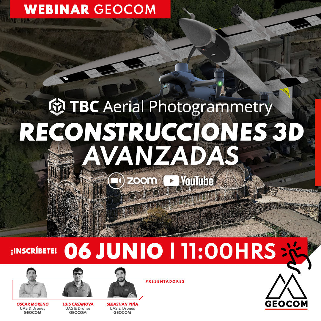
Webinar | Advanced 3D Reconstructions in TBC Aerial Photogrammetry
THURSDAY, JUNE 06 | 11:00 AM | VIA ZOOM & YOUTUBE LIVE
We invite you to this new Webinar developed by GEOCOM's UAS area, where we will explore photogrammetric fundamentals, experiences with DJI drones, and detail all the new features of Trimble Business Center Aerial Photogrammetry in its latest version.
![Reality Capture en edificación: [CAP.1] Modelamiento 3D “As built”](http://www.geocom.cl/cdn/shop/articles/post_Reality_capture_capitulo1.jpg?v=1715096235&width=1080)
Reality Capture in building: [CH.1] "As-built" 3D modeling
In this experience, we immersed ourselves in the Trimble Reality Capture workflow to generate an "As-built" 3D model of a 5-story building with 2 underground levels.
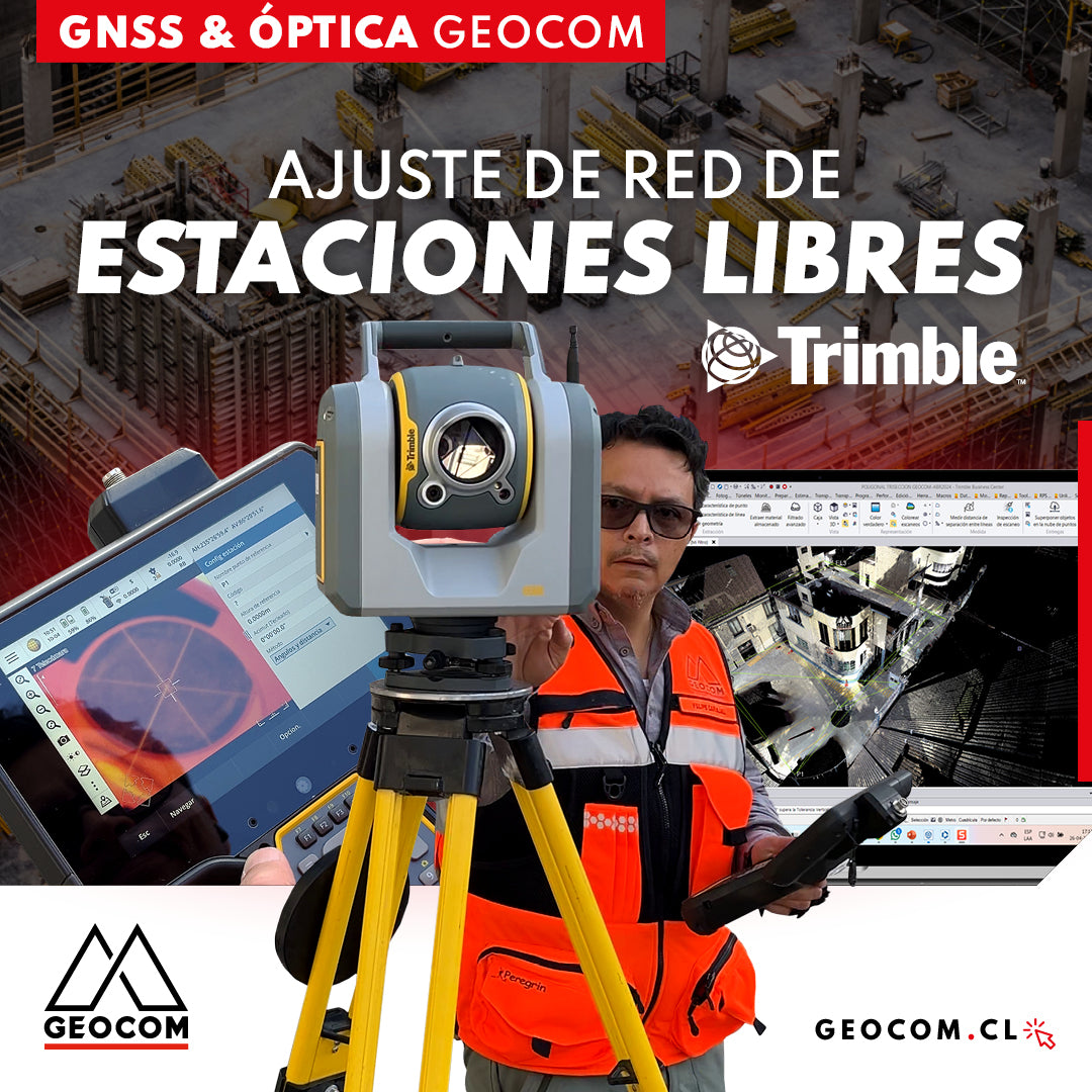
Free Station Network Adjustment
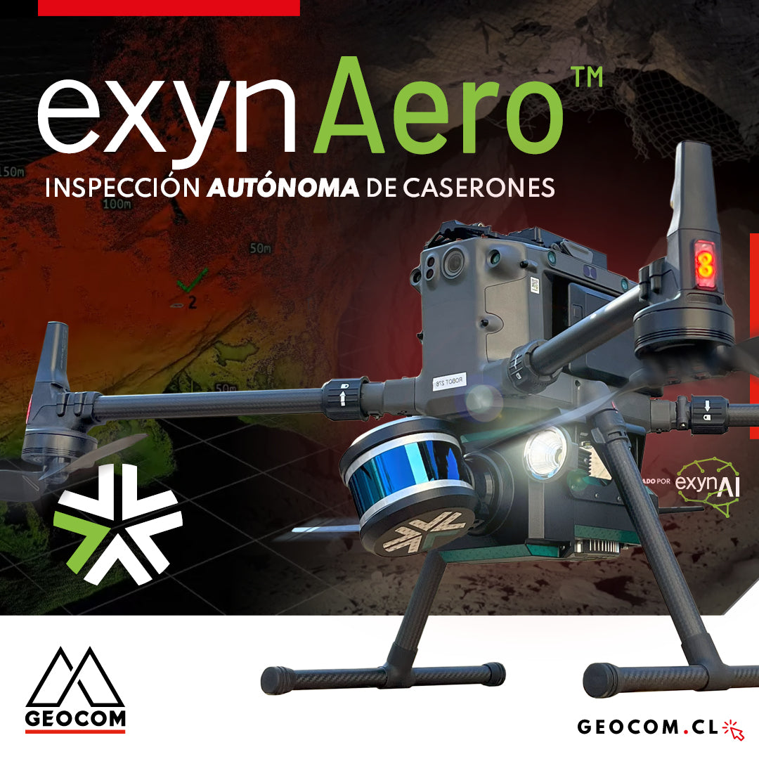
ExynAero: Autonomous Stope Inspection
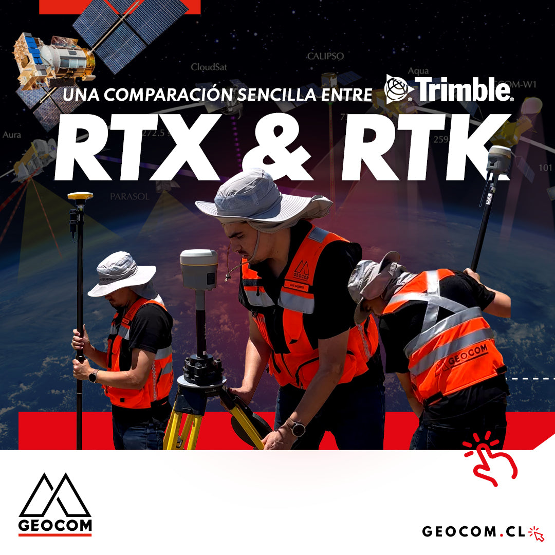
A Simple Comparison Between Trimble RTX & RTK
Trimble has delved deeper into the PPP technique through Trimble RTX, which can be used either in real-time or post-processing. Now, in terms of compatibility, the questions that arise are: Is RTX compatible with determinations made in RTK? Can RTX and RTK data coexist in the same project?

LevelMe: Precision Trigonometric Leveling
Trigonometric leveling is a technique used in land surveying applications to determine elevation differences between two points using angular measurements and distances. Unlike geometric leveling, which determines elevation differences from staff readings, trigonometric leveling uses trigonometry to indirectly calculate the height difference.
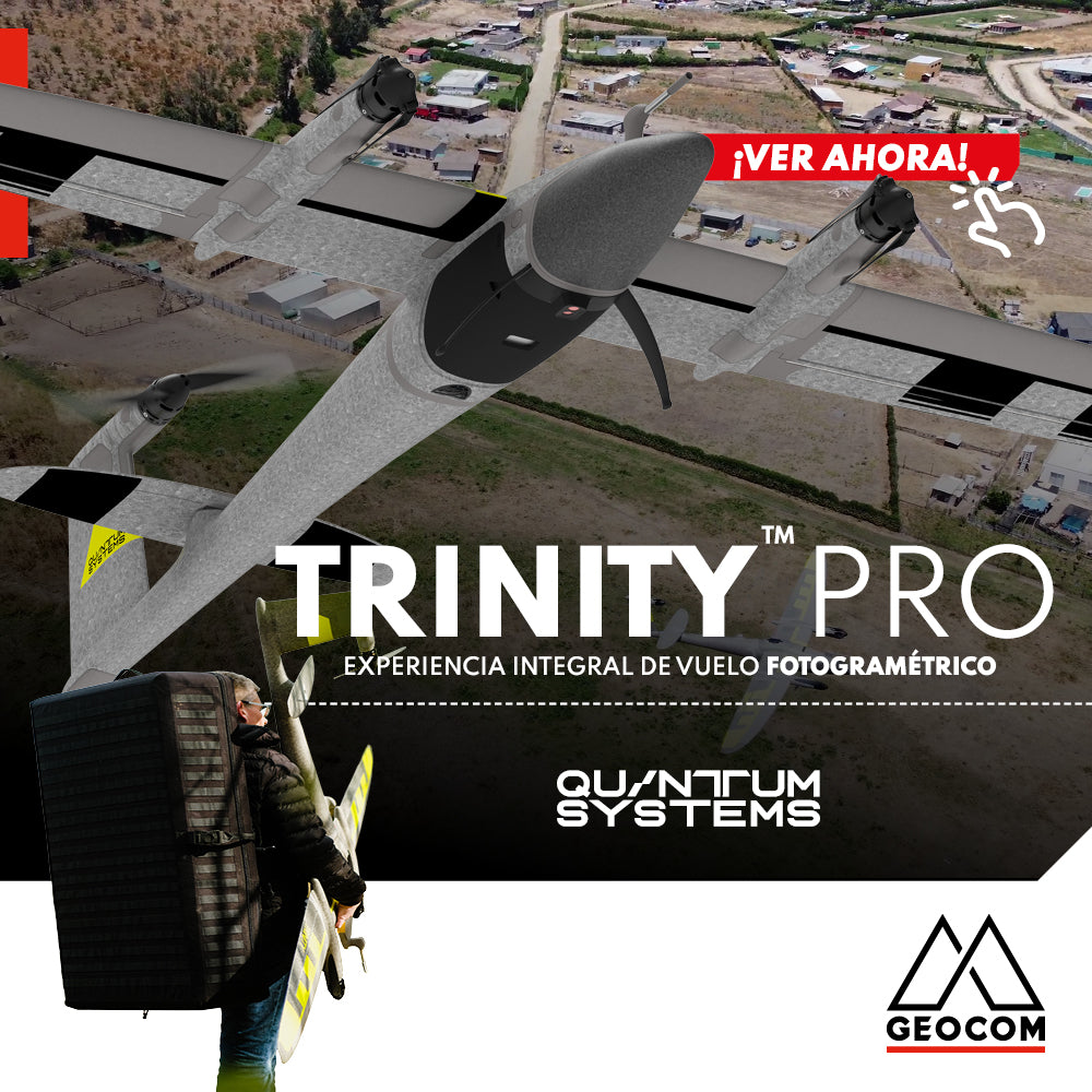
Quantum Systems Trinity Pro | Comprehensive Photogrammetric Flight Experience
In our recent mission, we completed a comprehensive photogrammetric flight experience, using cutting-edge technology to deliver high-precision, high-quality results. Here is an overview of our process ↓
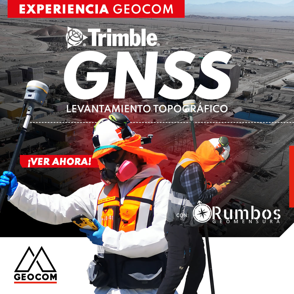
Trimble GNSS | Mine Plant Survey
GNSS in its RTK mode has become a standard for conducting topographic surveys due to its high productivity and ease of observation. Furthermore, by adding automatic drawing tools, the use of GNSS is tremendously beneficial.

Trimble Business Center: Geometric Leveling
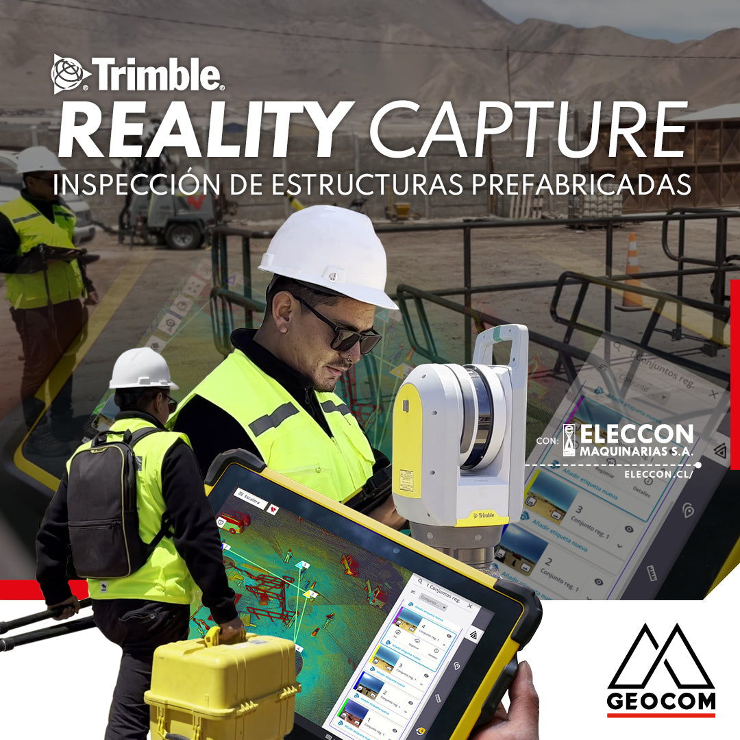
Trimble Reality Capture: Prefabricated Structure Inspection
Enriching the inspection process of prefabricated structures destined for mining operations, our friends at Eleccon Maquinarias share their workflow. This is based on the use of Reality Capture tools, such as the Trimble X7 laser scanner, Trimble Realworks processing software, and the Trimble Connect collaboration platform.
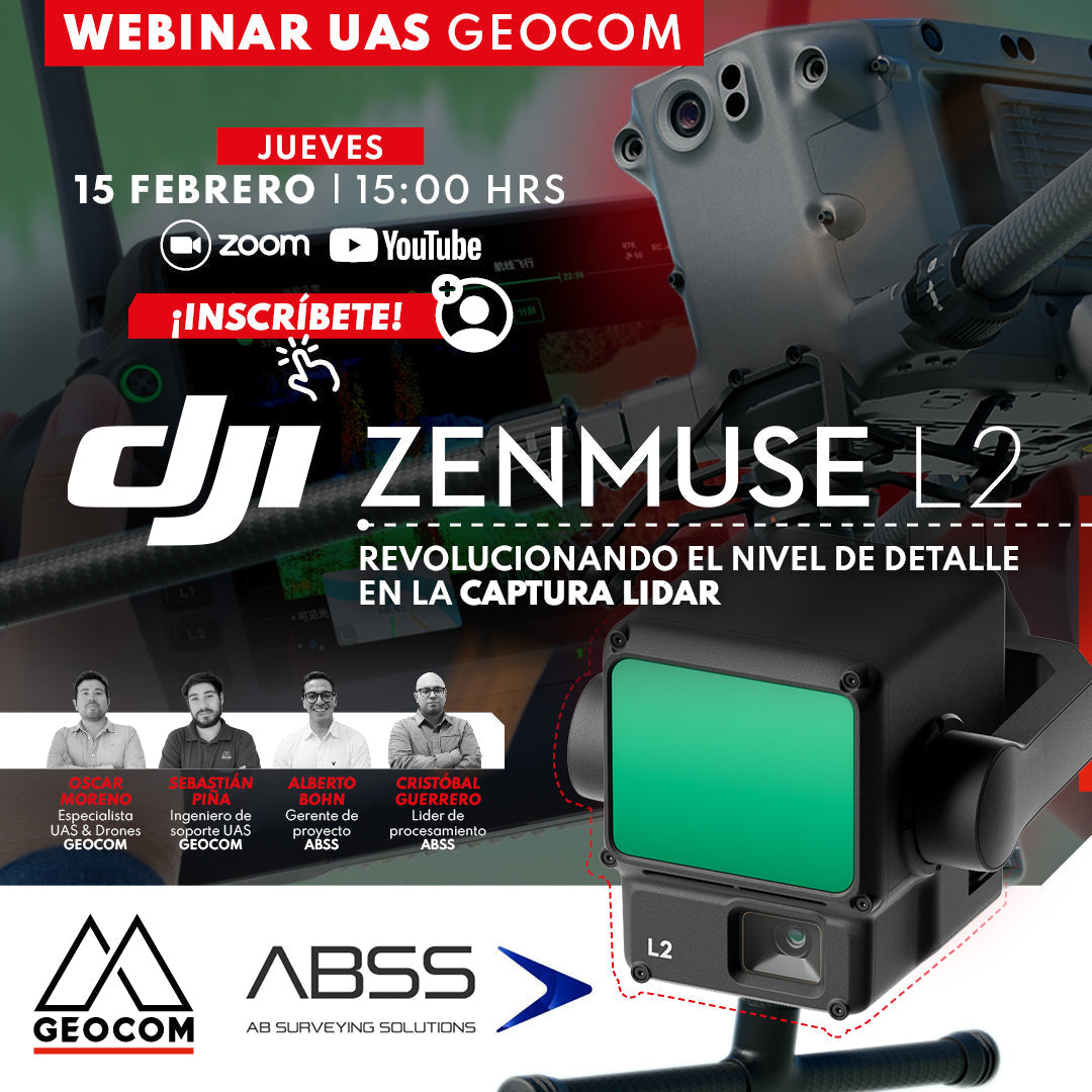
Webinar | DJI Zenmuse L2: Revolutionizing the level of detail in LiDAR capture
NOW AVAILABLE! | Web & YouTube
We invite you to this new GEOCOM Webinar, which will be presented by the UAS area in conjunction with our client ABSS, who has extensive experience using the L1 LiDAR sensor and now also the new Zenmuse L2.

Trimble Reality Capture: TK Pond Inspection and Validation.
The project began with a detailed survey of the terrain and the TK pond. To ensure accuracy and compliance with required standards, the Trimble X7 scanner was used on-site. This equipment allowed for the capture of precise and detailed data of the pond, ensuring that every aspect was evaluated with the utmost accuracy.
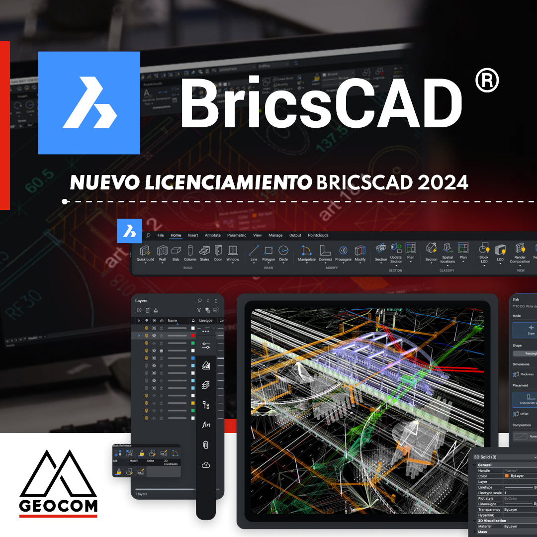
New BricsCAD Licensing in 2024
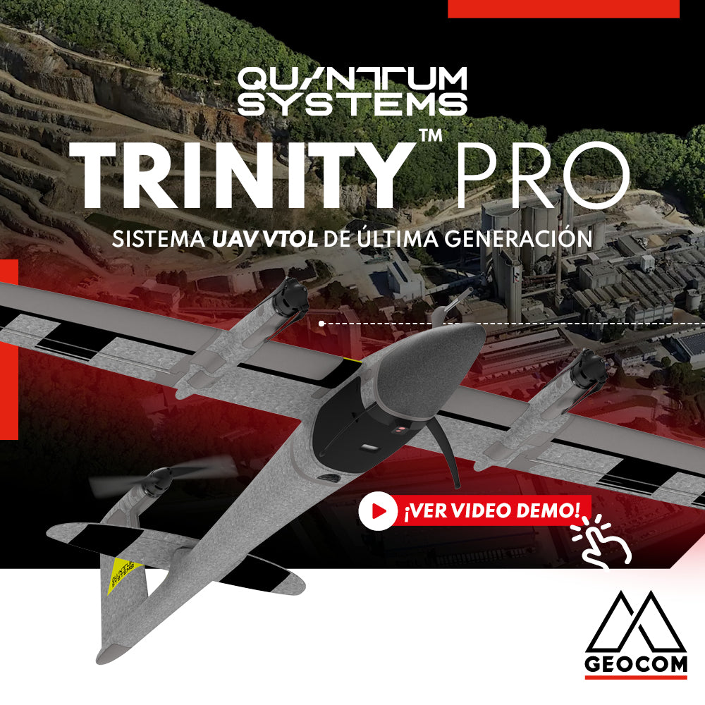
This VTOL fixed-wing drone from Quantum Systems represents the latest in technology, with an astonishing array of over 5 sensors to adapt to any environment.
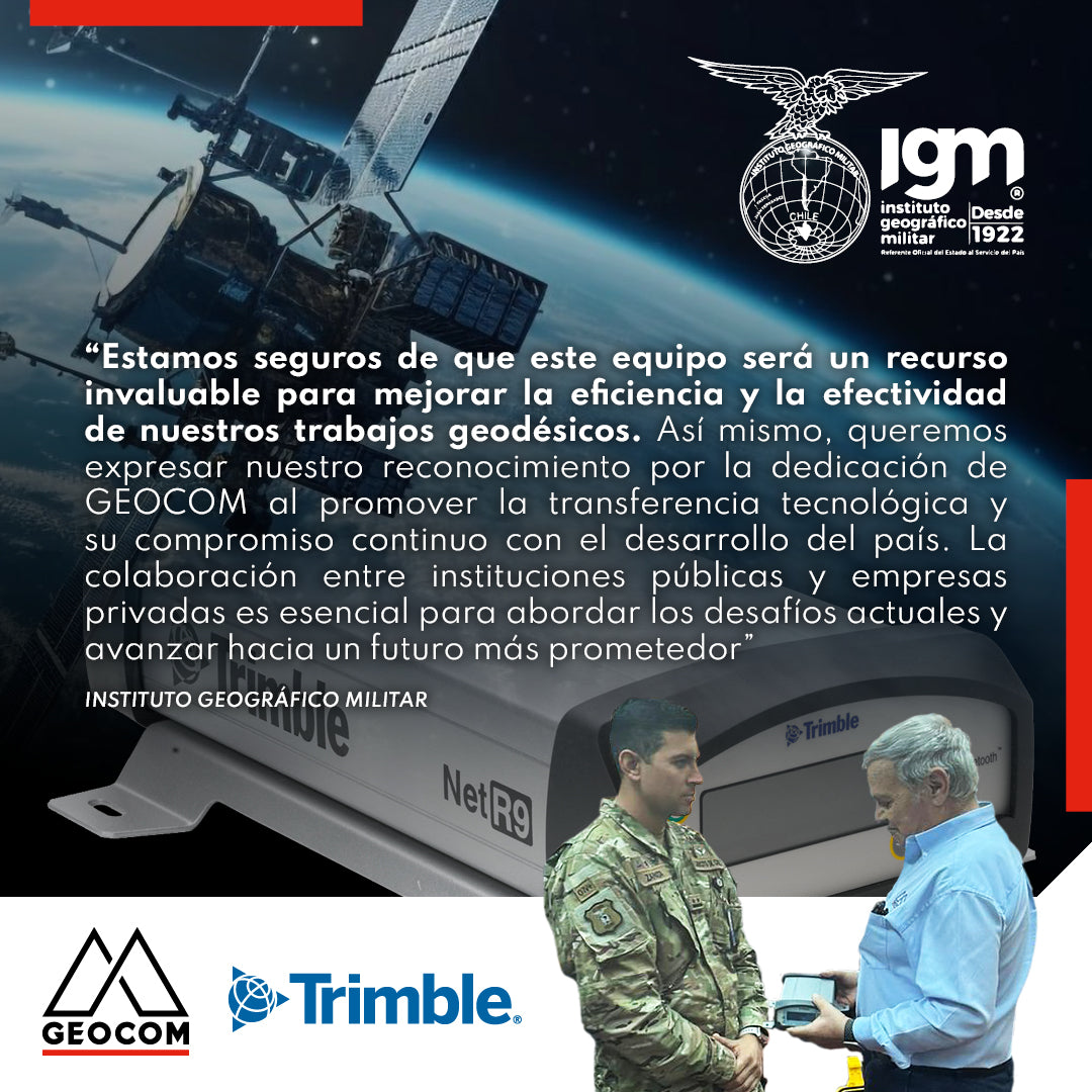
Military Geographic Institute receives GNSS reference station
During the last quarter of 2023, GEOCOM reaffirmed its commitment to the development of geodesy in the country by donating a Trimble NetR9 GNSS reference station to the Military Geographic Institute, which will be integrated into the National Geodetic Network to contribute to the various projects undertaken by this institution throughout the country.