

News
![[Santiago] Workshop | GNSS/TBC Procesamiento y ajuste de datos](http://www.geocom.cl/cdn/shop/articles/post_ig_WORKSHOP_Procesamiento_de_datos_GNSS.jpg?v=1745510758&width=1080)
Workshop | GNSS/TBC Data Processing and Adjustment
TUESDAY, MAY 13 | 09:00 TO 16:30 | GEOCOM STUDY CENTER
In this workshop, we will present different examples developed with TBC (Trimble Business Center) tools to optimize the GNSS network design, processing, adjustment, and deliverable process.
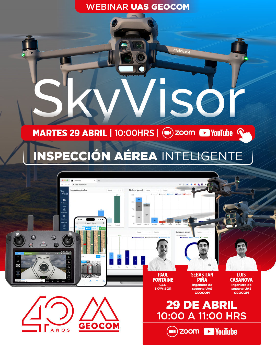
WEBINAR GEOCOM | Smart Aerial Inspection with SkyVisor
NOW AVAILABLE!
In this webinar, we will thoroughly review the features and functionalities of SKYVISOR software, with practical examples from photovoltaic plants and wind turbines.
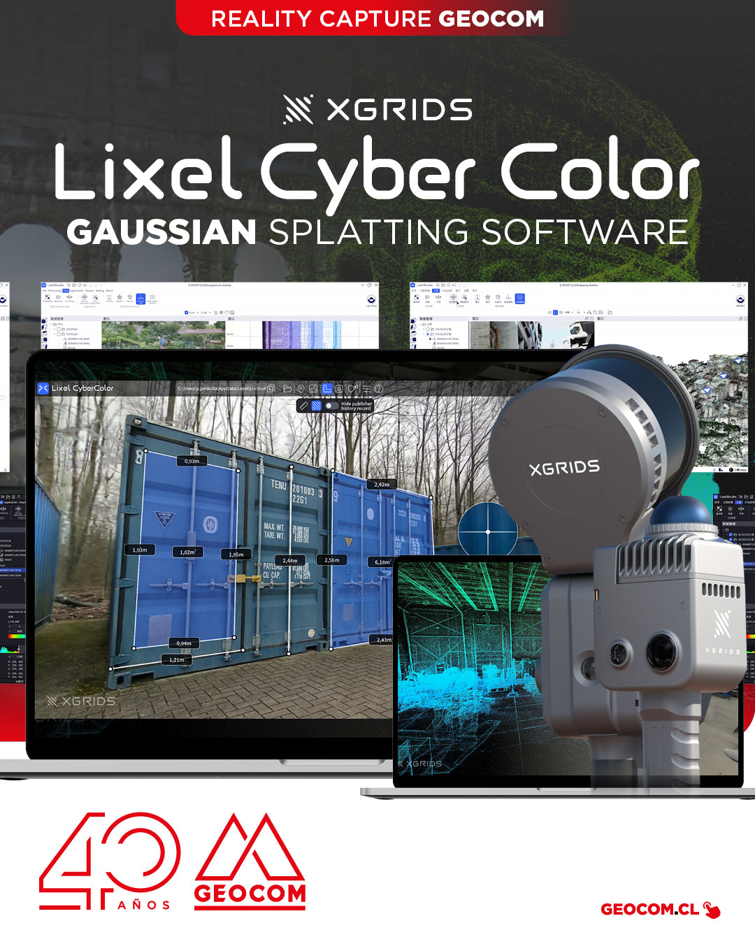
XGRIDS, a pioneer in geospatial intelligence and 3D perception technology, has officially launched the commercial version of Lixel CyberColor Studio v1.7.0 (LCC).

GEOCOM to present cutting-edge technology at EXPOMIN 2025
GEOCOM is pleased to announce its participation in EXPOMIN 2025, the most important mining fair in Latin America, which will be held from April 22 to 25 at Espacio Riesco. Visit us at Stand 1-E50 where we will exhibit and demonstrate state-of-the-art equipment for the mining and geospatial sectors.

Thank you, Antofagasta! Drones in the Geospatial World
Last Thursday, March 27, the "UAS & Drones in the Geospatial World" workshop, organized by GEOCOM, took place at the Hotel Florencia Suites in Antofagasta.
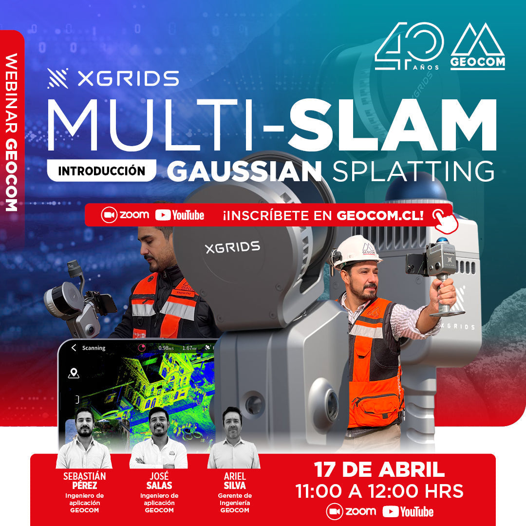
WEBINAR | An Introduction to Multi-SLAM and Gaussian Splatting
NOW AVAILABLE!
We invite you to this webinar, a GEOCOM proposal to explain the latest advances in XGRIDS, where we will explore innovative technologies that are transforming 3D capture and reconstruction.
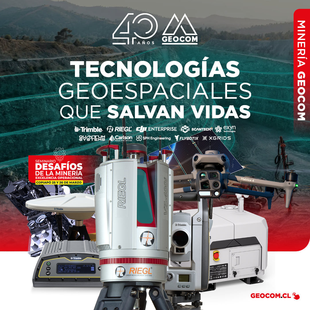
GEOCOM: Technological Innovation for Mining Safety in Copiapo
On March 22 and 23, GEOCOM actively participated in the seminar "Mining Challenges: Operational Excellence," an event organized by the Industrial Journalistic Group in the city of Copiapó.
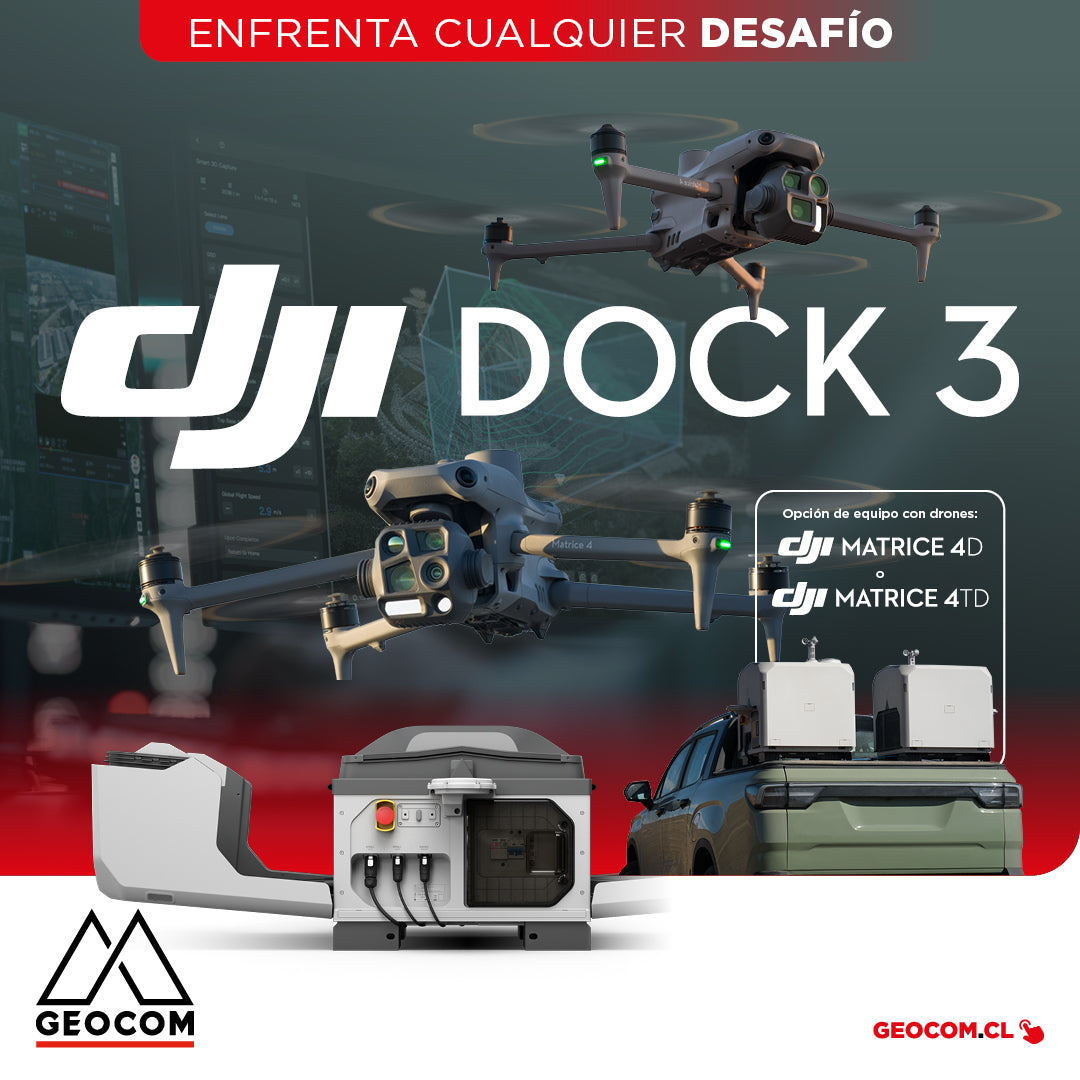
DJI Dock 3 offers a comprehensive Autonomous Drone solution for 24/7 remote operations
DJI Dock 3, the company's first Autonomous Drone solution that allows vehicle mounting, facilitating 24/7 remote operations in diverse environments.
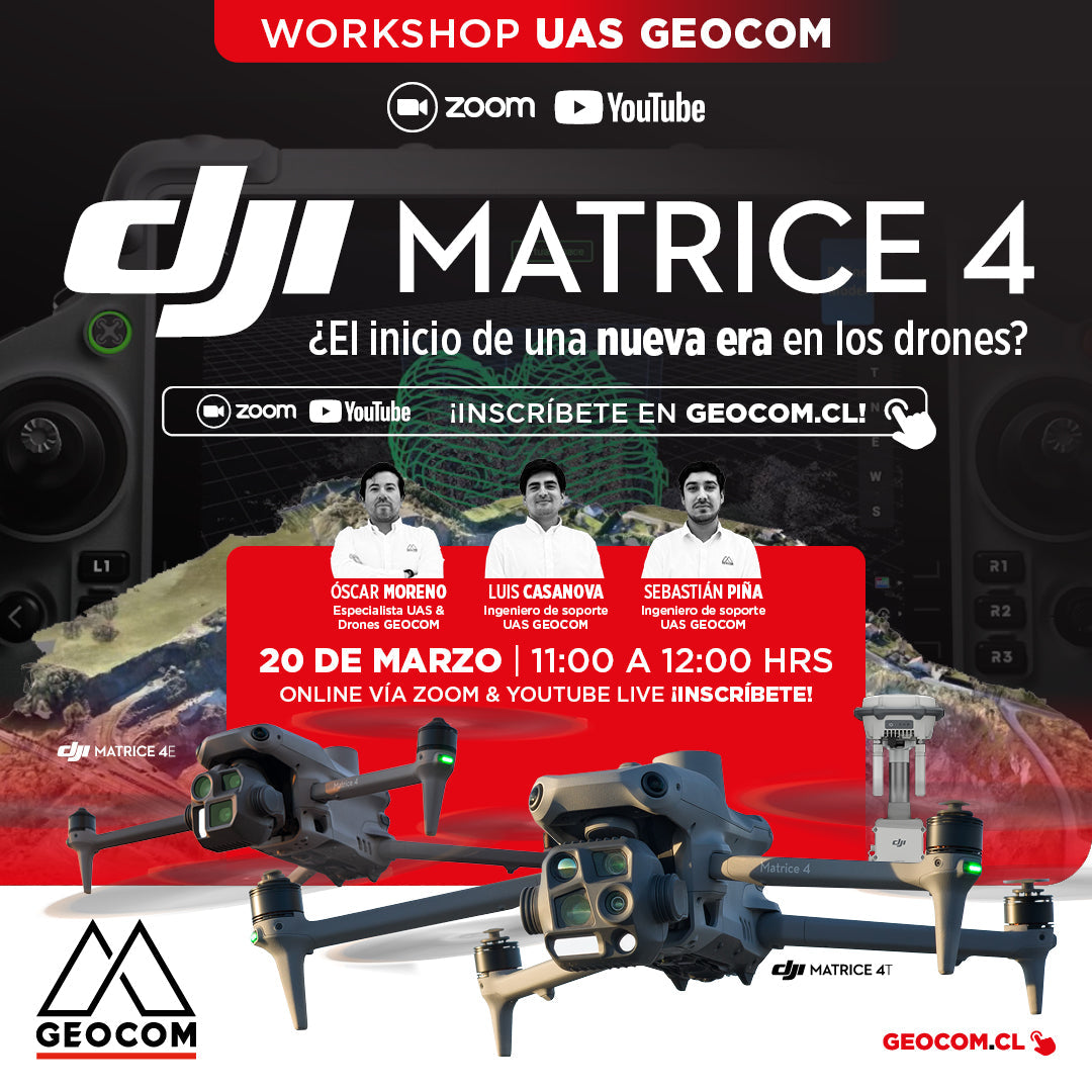
Webinar | DJI Matrice 4 Series: The Beginning of a New Era in Drones?
NOW AVAILABLE!
We invite you to this new Webinar developed by GEOCOM's UAS area, where we will explore in detail the advanced capabilities of this new DJI drone and the impact it will have on the industry.
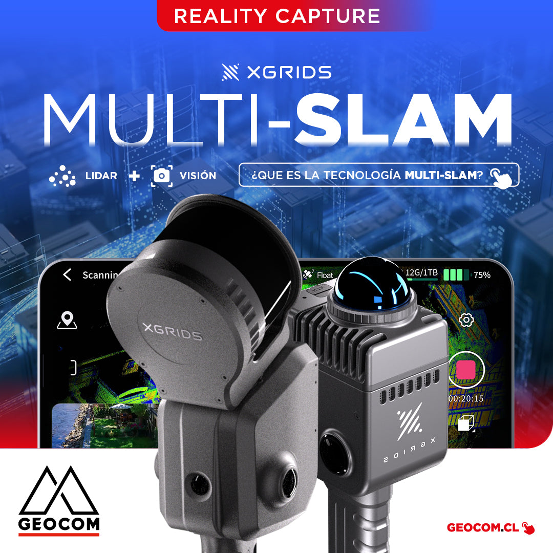
It is the technology that combines data from different sensors, such as LiDAR, cameras, and inertial measurement units (IMUs), to improve the accuracy and stability of simultaneous localization and mapping.
![[Antofagasta] Workshop UAS | Drones en el mundo geoespacial](http://www.geocom.cl/cdn/shop/articles/post_web_workshop_antofagasta-Drones_en_el_mundo_geoespacial_9f7a0124-2efc-42fd-9f8d-5cfba7d88910.jpg?v=1739886671&width=1080)
[Antofagasta] UAS Workshop | Drones in the geospatial world
THURSDAY, MARCH 27 / 09:00 AM TO 01:30 PM / HOTEL FLORENCIA SUITES
In this workshop, we will review the latest developments in the UAS & Drones portfolio and provide tools to improve workflows and product quality.
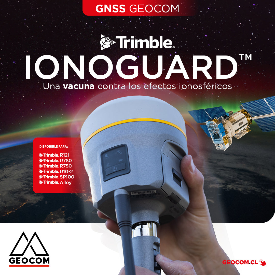
Trimble IonoGuard: A Vaccine Against Ionospheric Effects
IonoGuard works on Trimble GNSS receivers that operate with the ProPoint real-time processing engine (R12i, R780, R750, R10-2, SP100, Alloy)
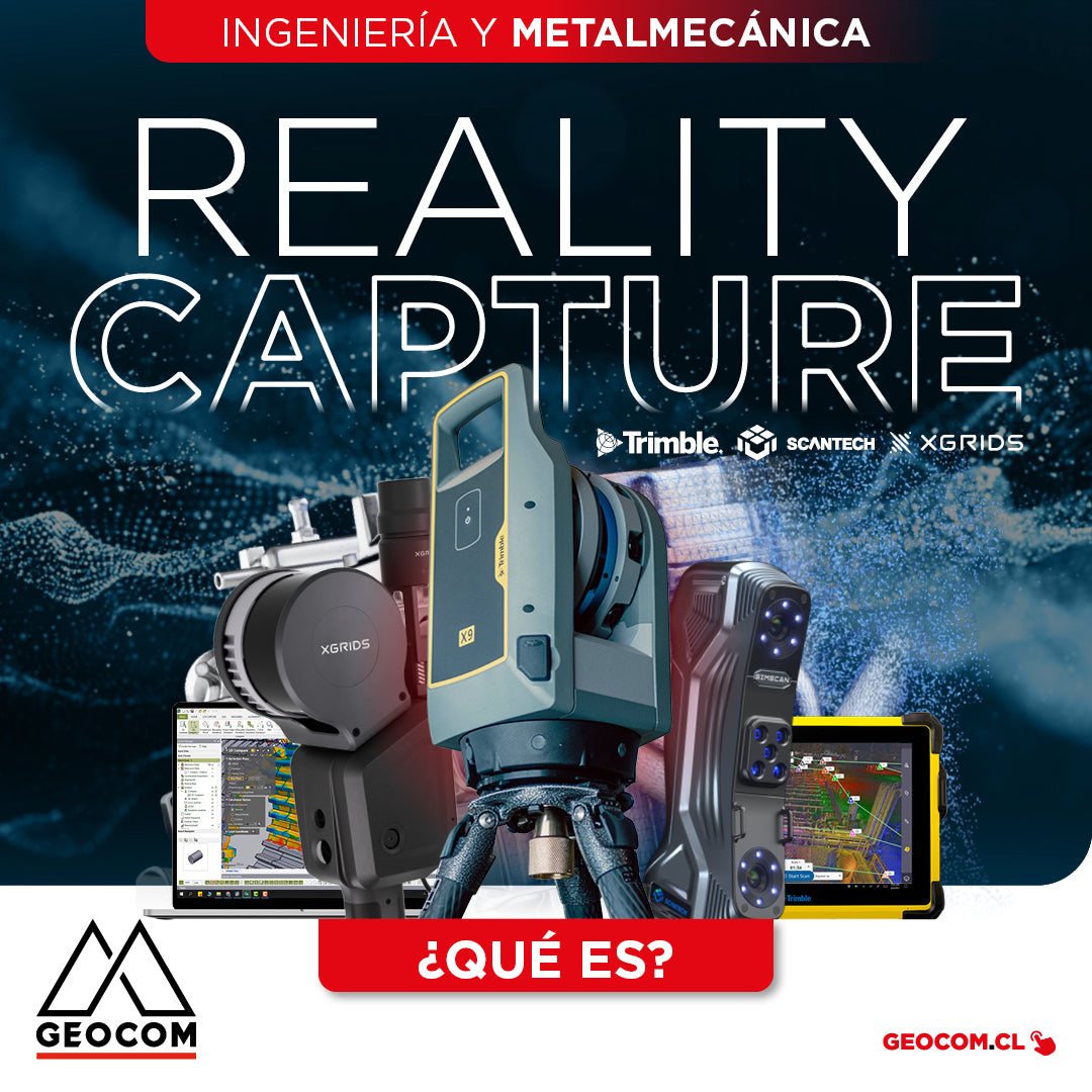
What is Reality Capture? - Engineering and Metalworking
The concept of “Reality Capture” encompasses a set of technologies that enable the digitalization of specific components or entire project environments through the use of laser scanning and/or imaging.

New GeoMóvil Geocom tour - March 2025
During March we will be visiting the cities of:
📍 Antofagasta | 📍 Calama | 📍 Iquique
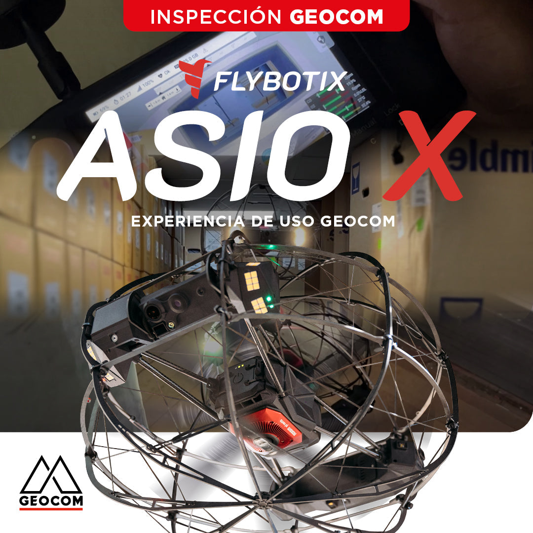
Flybotix ASIO X: GEOCOM User Experience
GEOCOM strengthens its commitment to technological innovation by welcoming Alejandro Quidiello, Flybotix Test and Quality Engineer, to its facilities. Quidiello provided comprehensive training on the ASIO X inspection drone system.