

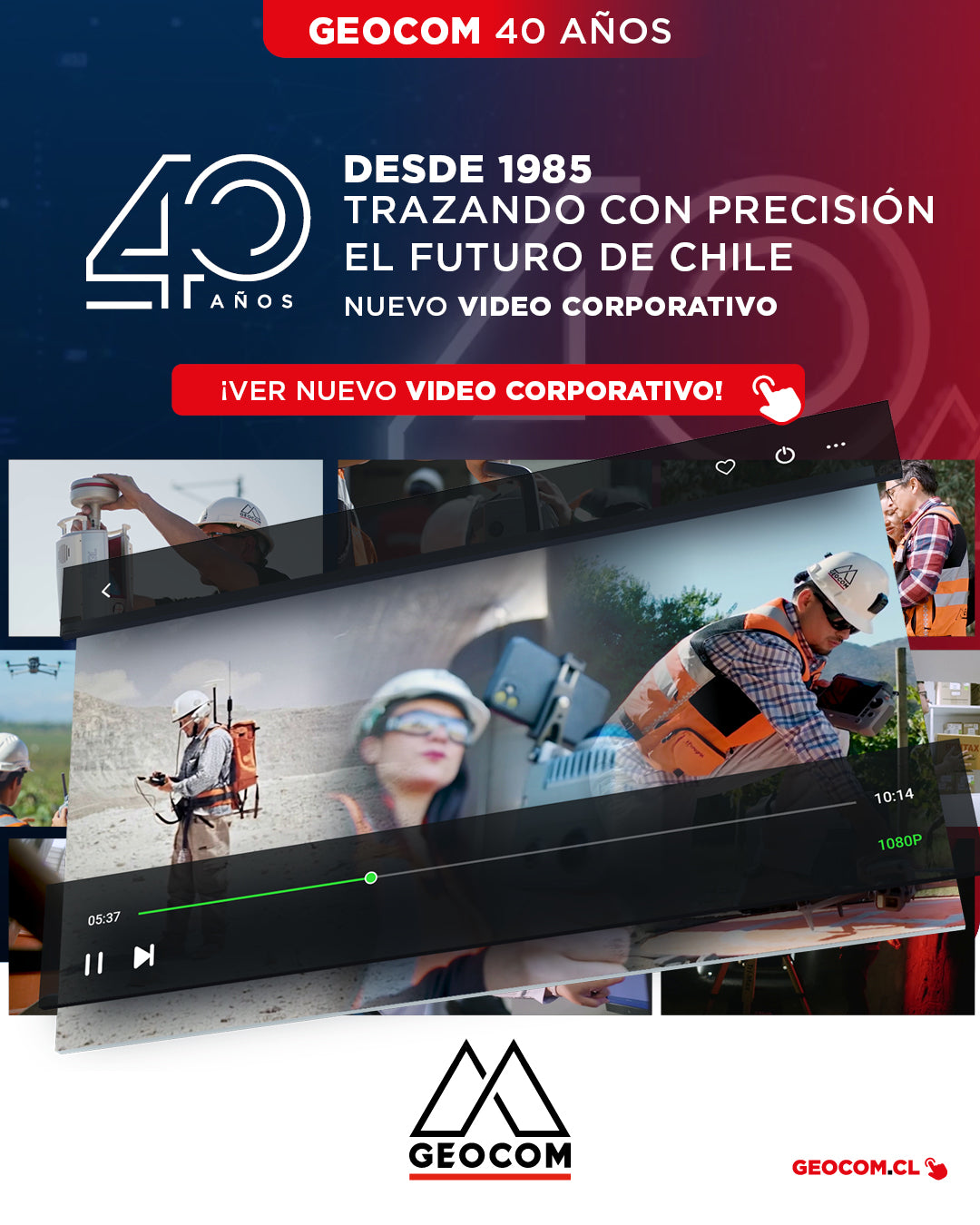
New Corporate Video | Geocom: 40 Years Precisely Tracing the Future of Chile
CHECK OUT THE VIDEO!
We are very excited to officially share our new corporate video "40 Years Accurately Charting the Future of Chile", a production that celebrates the legacy of the pioneering company in the Chilean geospatial market.
![Representación topográfica a partir de GNSS-RTK [03 CICLO TBC]](http://www.geocom.cl/cdn/shop/articles/post_ig_ciclo_TBC3.jpg?v=1748445020&width=1080)
Topographic Representation using GNSS-RTK [03 TBC CYCLE]
PUBLICATION 03 | TBC CYCLE | GEOCOM Engineering
The integration between Trimble Access, feature libraries, and Trimble Business Center allows for the creation of professional-quality graphic products, significantly reducing processing times and minimizing errors in terrain representation.
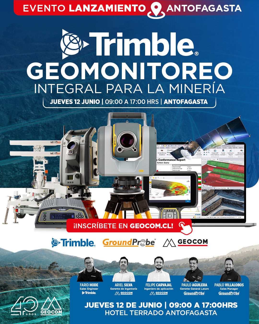
Launch Event | Trimble: Comprehensive Geomonitoring for Mining
THURSDAY, JUNE 12 | 09:00 AM TO 05:00 PM | HOTEL TERRADO ANTOFAGASTA
We invite you to learn about the new strategic alliance between Trimble and GroundProbe, which marks a new step in geotechnical and geodetic monitoring in mining.
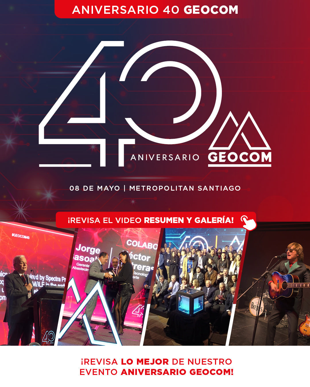
Last Thursday, May 8, GEOCOM celebrated its 40th anniversary with a special ceremony held at Metropolitan Santiago, an event that brought together the key players who have been fundamental to our history since 1985.
![[ANTOFAGASTA] Noche Geoespacial | Reality Capture](http://www.geocom.cl/cdn/shop/articles/post_ig_EVENTO_RealityCapture_Antofagasta.jpg?v=1746721704&width=1080)
[ANTOFAGASTA] Geospatial Night | Reality Capture
TUESDAY, MAY 27 | 7:00 PM TO 10:00 PM | HOTEL TERRADO ANTOFAGASTA
In this Geocom Geospatial Night, we will address 4 areas of Reality Capture:
Metrology, High Precision, Multi-SLAM, and Industrial Inspection.
![Densificación geodésica a partir de datos GNSS [02 CICLO TBC]](http://www.geocom.cl/cdn/shop/articles/post_ig_ciclo_TBC2.jpg?v=1746715775&width=1080)
Geodetic densification from GNSS data [02 TBC CYCLE]
PUBLICATION 02 | TBC CYCLE | GEOCOM Engineering
In this example, some observation and calculation strategies for densifying SIRGAS-Chile will be reviewed using GNSS observations in a context associated with a topographic representation.
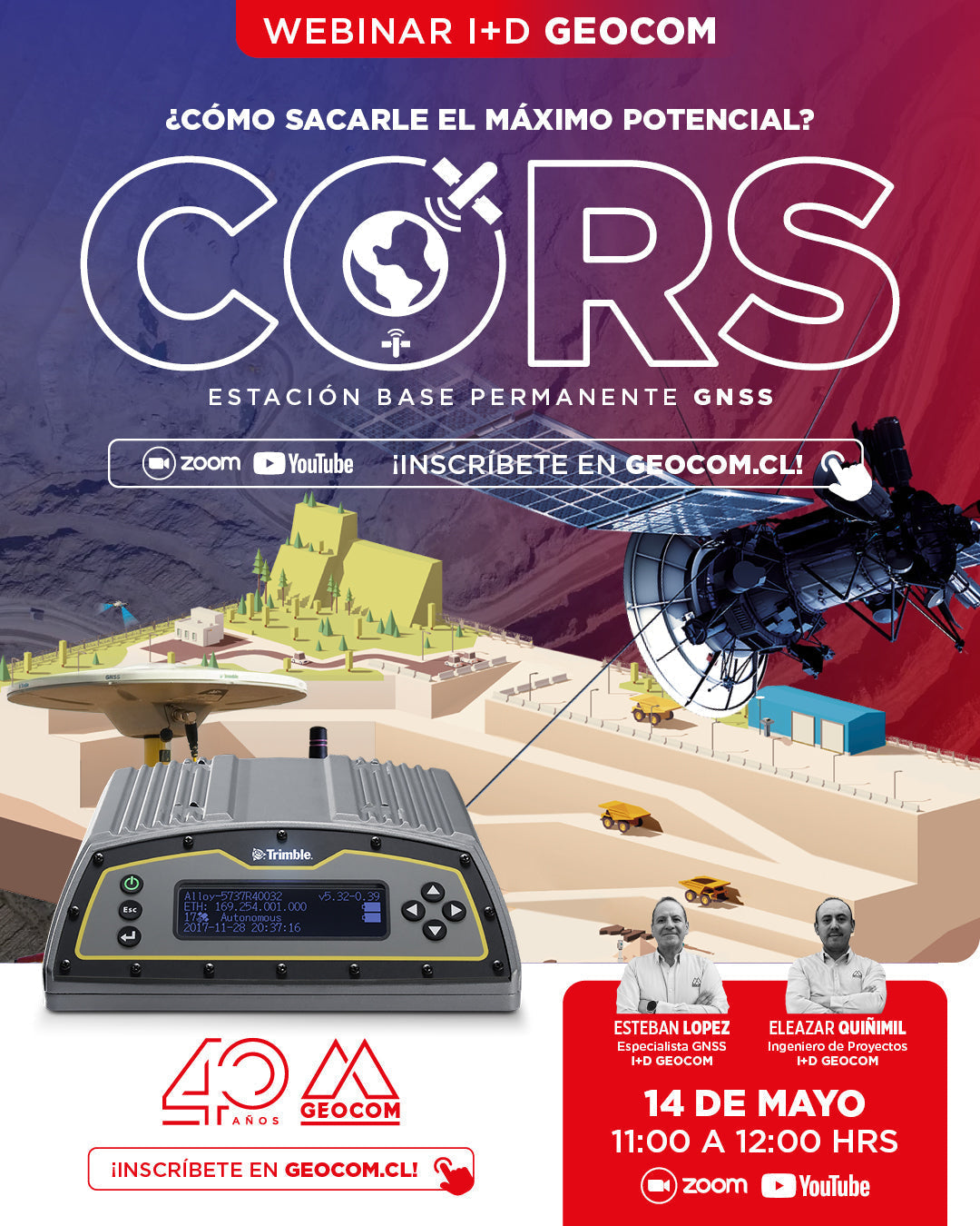
R&D WEBINAR | CORS/GNSS: How to unlock its full potential?
NOW AVAILABLE!
CORS, reference station, or base station. Regardless of what we call it, its importance in the present and future of high-precision GNSS positioning is undeniable.
![Representación topográfica en TBC [01 CICLO TBC]](http://www.geocom.cl/cdn/shop/articles/post_ig_ciclo_TBC1_47d4cfed-4ef8-4b97-9369-3526de5313c6.jpg?v=1746040063&width=1080)
Topographic Representation in TBC [01 TBC CYCLE]
PUBLICATION 01 | TBC CYCLE | GEOCOM Engineering
TBC allows for a convenient combination of geospatial observation techniques with the goal of delivering results obtained under a single platform, optimizing the office workflow.
![[Santiago] Workshop | GNSS/TBC Procesamiento y ajuste de datos](http://www.geocom.cl/cdn/shop/articles/post_ig_WORKSHOP_Procesamiento_de_datos_GNSS.jpg?v=1745510758&width=1080)
Workshop | GNSS/TBC Data Processing and Adjustment
TUESDAY, MAY 13 | 09:00 TO 16:30 | GEOCOM STUDY CENTER
In this workshop, we will present different examples developed with TBC (Trimble Business Center) tools to optimize the GNSS network design, processing, adjustment, and deliverable process.
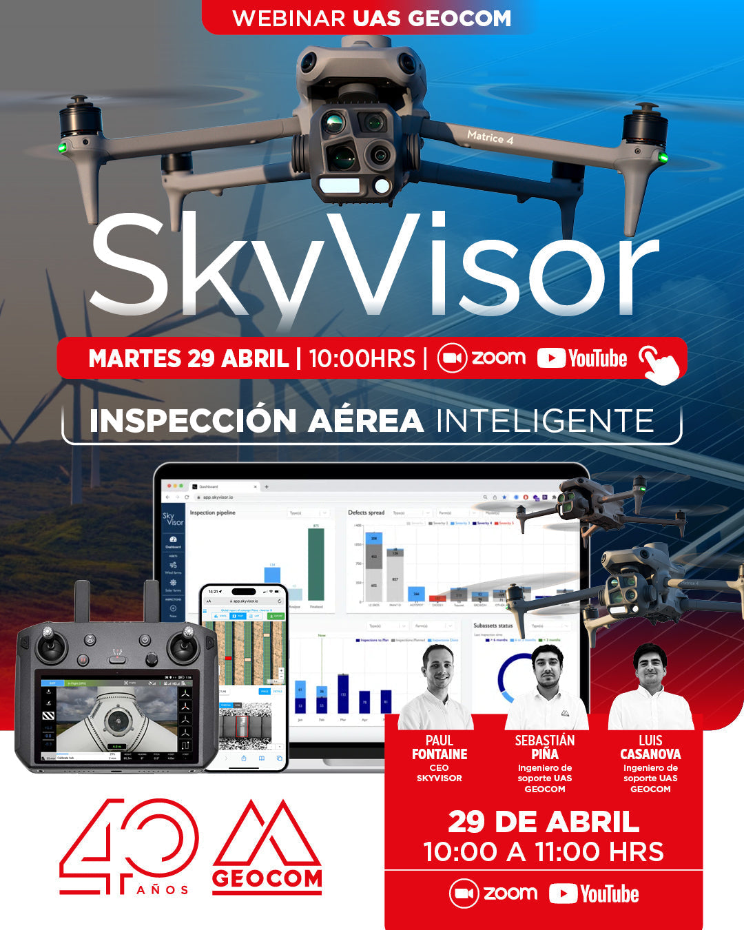
WEBINAR GEOCOM | Smart Aerial Inspection with SkyVisor
NOW AVAILABLE!
In this webinar, we will thoroughly review the features and functionalities of SKYVISOR software, with practical examples from photovoltaic plants and wind turbines.
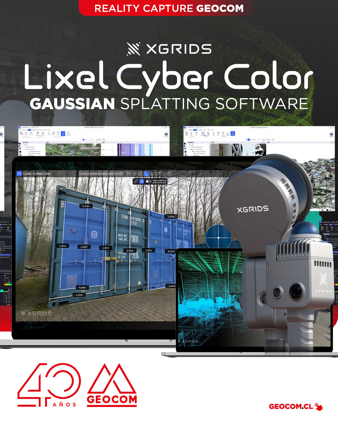
XGRIDS, a pioneer in geospatial intelligence and 3D perception technology, has officially launched the commercial version of Lixel CyberColor Studio v1.7.0 (LCC).
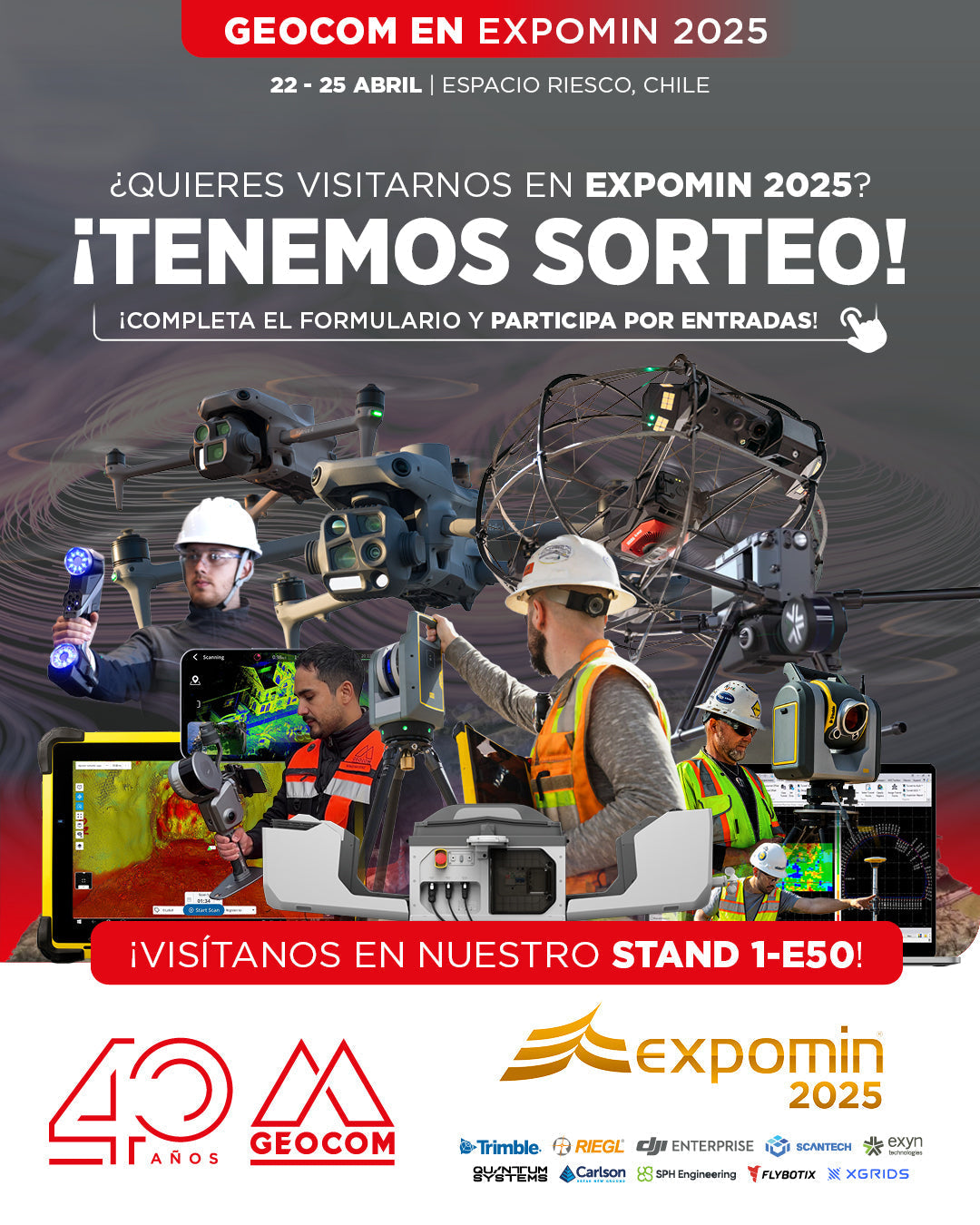
GEOCOM to present cutting-edge technology at EXPOMIN 2025
GEOCOM is pleased to announce its participation in EXPOMIN 2025, the most important mining fair in Latin America, which will be held from April 22 to 25 at Espacio Riesco. Visit us at Stand 1-E50 where we will exhibit and demonstrate state-of-the-art equipment for the mining and geospatial sectors.

Thank you, Antofagasta! Drones in the Geospatial World
Last Thursday, March 27, the "UAS & Drones in the Geospatial World" workshop, organized by GEOCOM, took place at the Hotel Florencia Suites in Antofagasta.
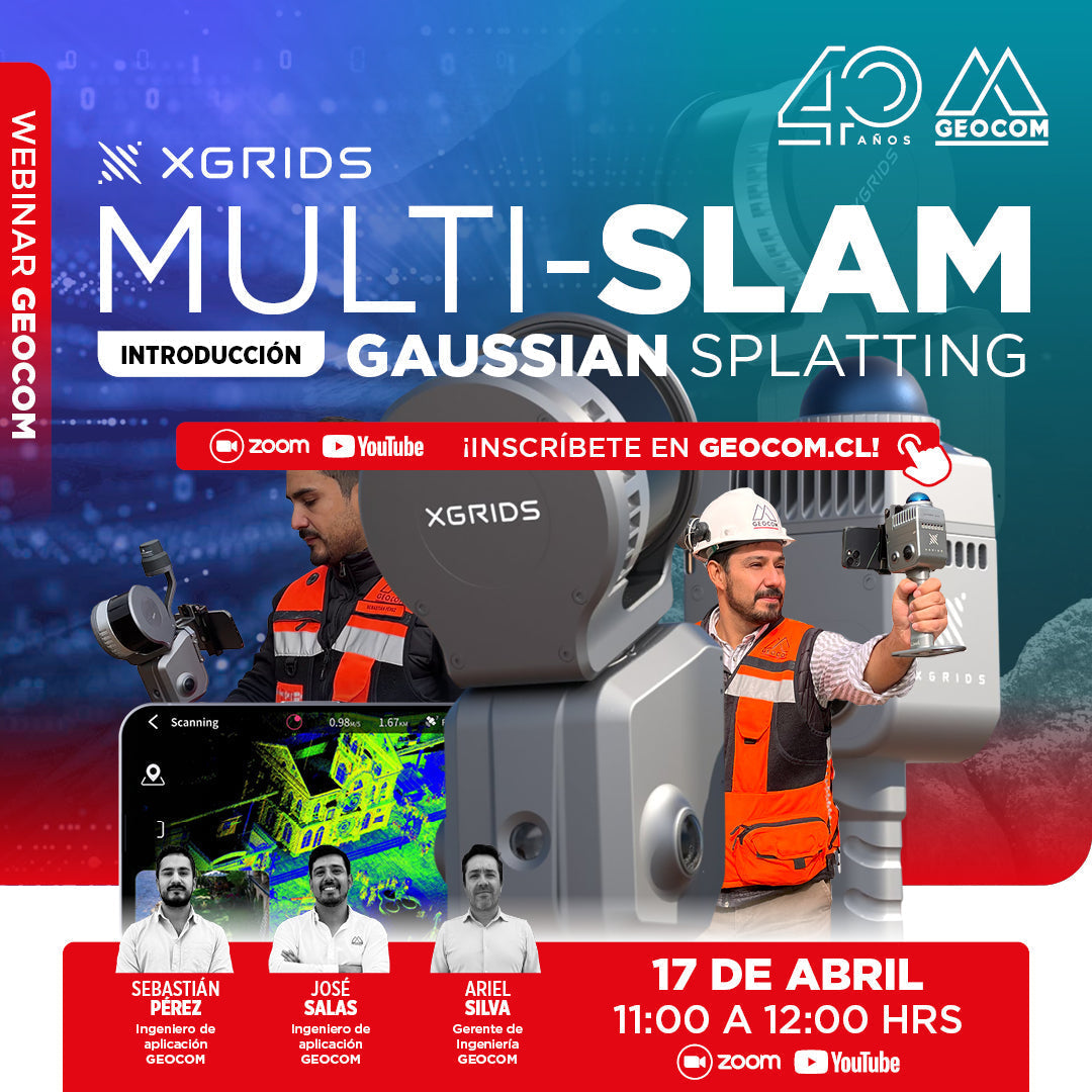
WEBINAR | An Introduction to Multi-SLAM and Gaussian Splatting
NOW AVAILABLE!
We invite you to this webinar, a GEOCOM proposal to explain the latest advances in XGRIDS, where we will explore innovative technologies that are transforming 3D capture and reconstruction.
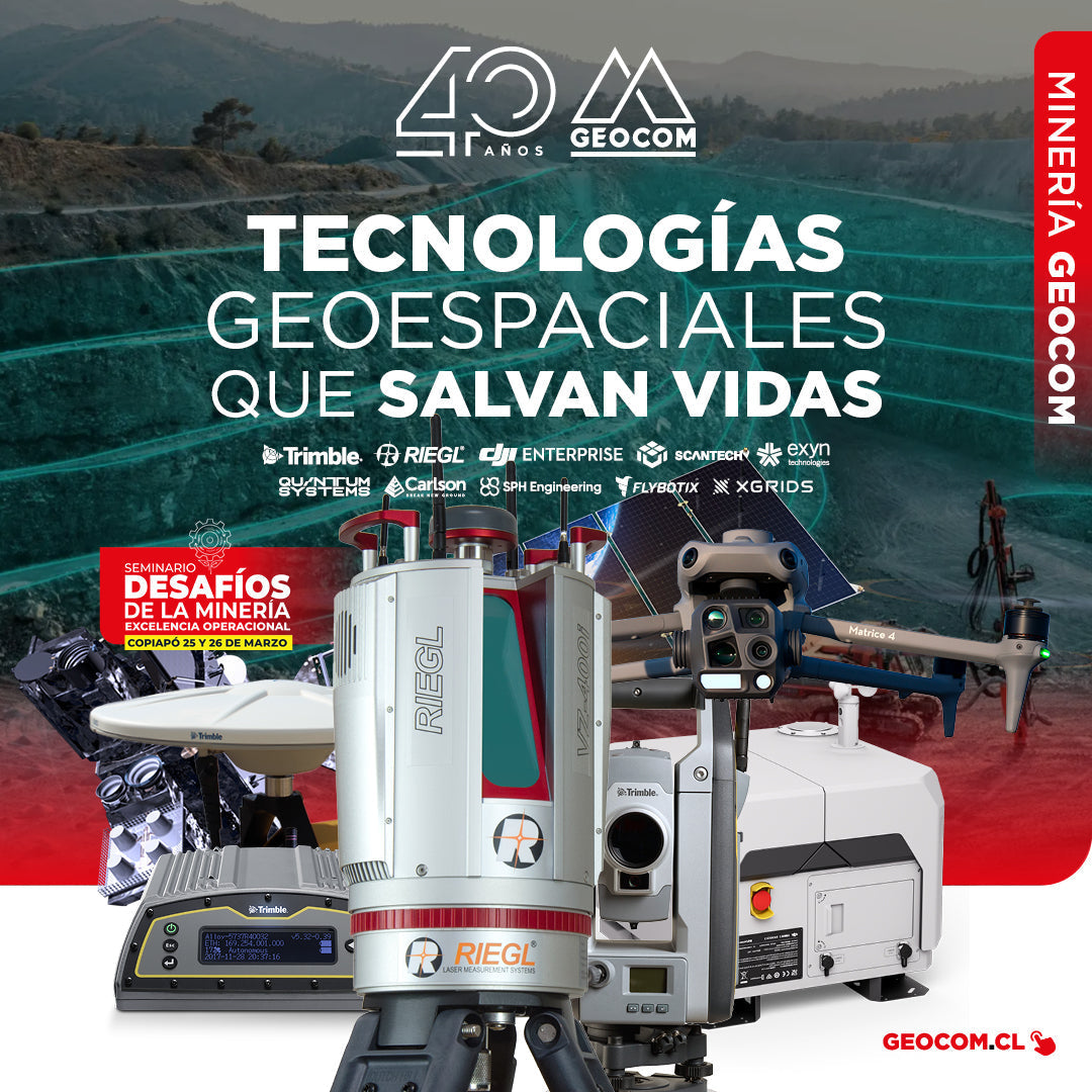
GEOCOM: Technological Innovation for Mining Safety in Copiapo
On March 22 and 23, GEOCOM actively participated in the seminar "Mining Challenges: Operational Excellence," an event organized by the Industrial Journalistic Group in the city of Copiapó.