

News
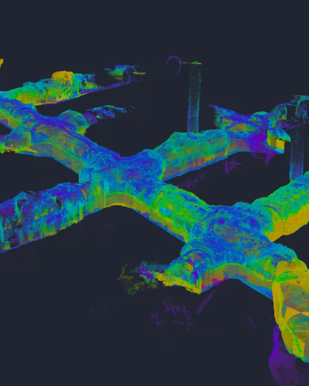
XGRIDS Lixel L2 Pro: Mobile Mapping and Productivity in Underground Mining
In a recent experience in active tunnels, the XGRIDS mobile system demonstrated its capabilities by scanning 1.5 kilometers in less than two hours.
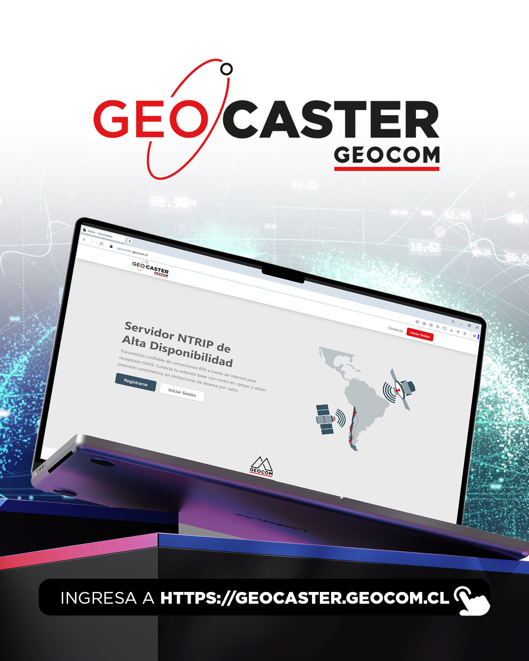
GEOCOM introduces GEOCASTER: The new era of free NTRIP connectivity for our clients
High-availability NTRIP server designed to transmit differential corrections via the internet to GNSS, SLAM, LiDAR, Drone equipment and any device compatible with the NTRIP protocol.

Special GEOCOM Business Hours for Year-End Holidays
To help you plan your needs and inquiries, we are providing our special customer service and support hours for the year-end holidays below.
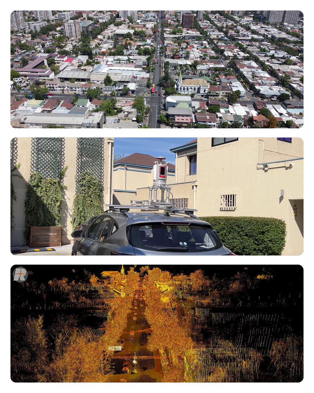
RIEGL VZ-2000i: High-Precision Mobile Mapping System with Kinematic App
From static to mobile in an instant! 🚀 3 km in 10 minutes? Yes, it's possible.
The Kinematic App transforms the powerful RIEGL VZ-2000i laser scanner into a high-precision mobile mapping system, no additional hardware needed!
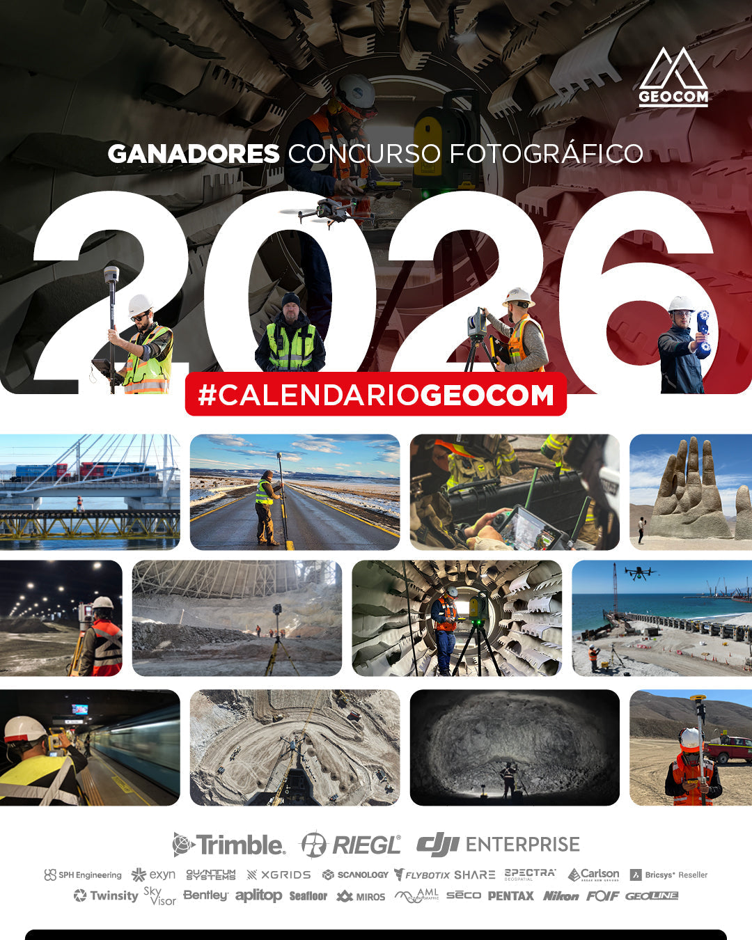
2026 Calendar Photo Contest Winners!
At GEOCOM, we are delighted to share the results of our much-anticipated GEOCOM 2026 Calendar Photo Contest. The level of participation and quality of entries has exceeded all our expectations!
![[SANTIAGO - WORKSHOP] Procesamiento y ajuste de datos GNSS](http://www.geocom.cl/cdn/shop/articles/POST_Workshop_procesamientoyajuste_de_datos_gnss.jpg?v=1764591815&width=1080)
[SANTIAGO - WORKSHOP] GNSS data processing and adjustment
TUESDAY, DECEMBER 20 | 09:00 AM TO 01:30 PM | GEOCOM
Discover how satellite positioning is revolutionizing engineering and construction. You will learn positioning methods, data processing, geoidal models, and more. Includes a practical case study.
![[Webinar GEOCOM] Inspección en minería subterránea](http://www.geocom.cl/cdn/shop/articles/post_Webinar_Inspeccion_mineriasubterranea_9a552cde-0b0b-4c8e-b6d1-fb7fca479132.jpg?v=1776803064&width=1080)
[GEOCOM Webinar] Underground Mining Inspection
Watch the webinar recording!
Discover how drones inspect inaccessible areas quickly and safely, reducing risks. Learn about success stories, workflows, and real data analysis.
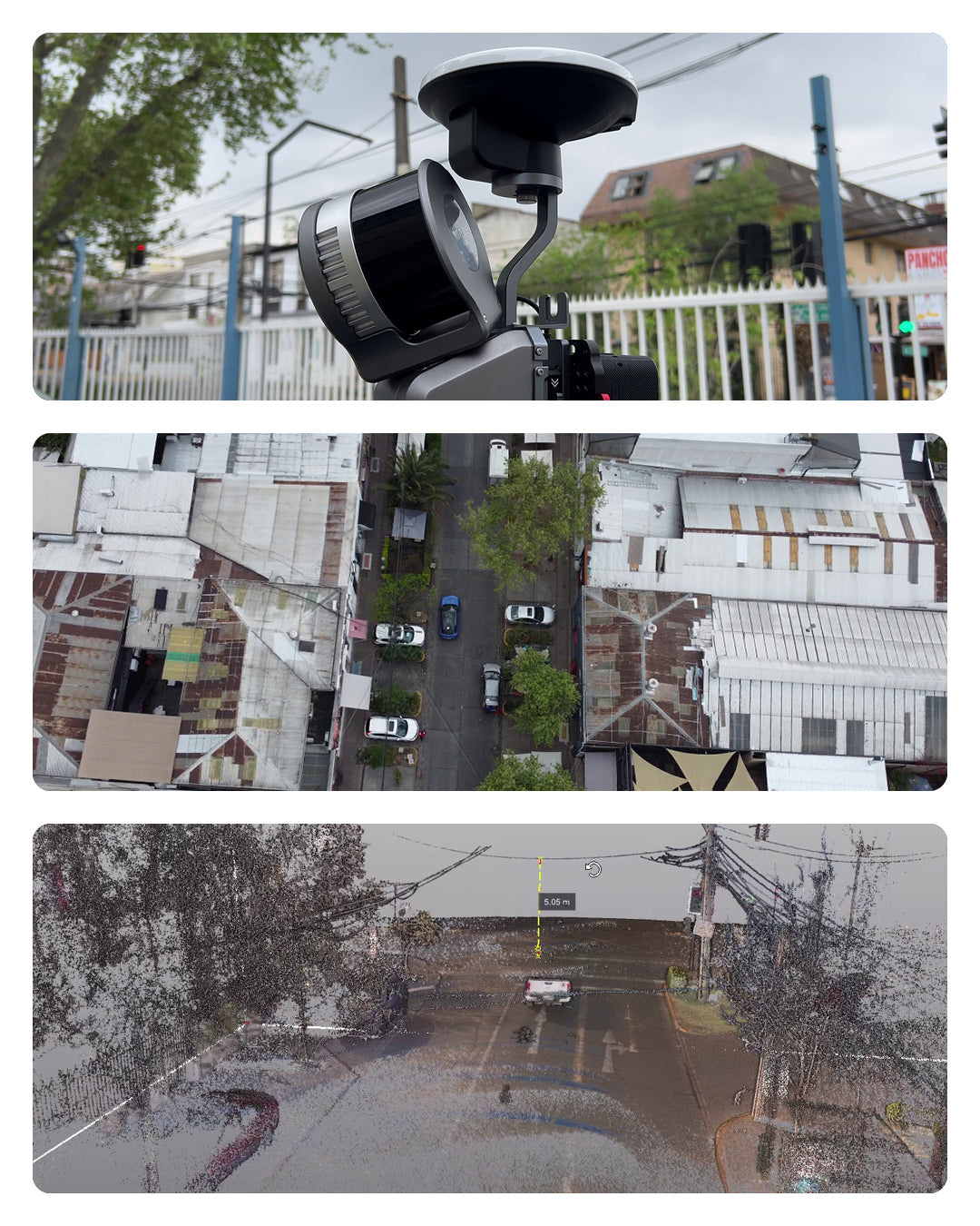
XGRIDS L2 Pro Multi-SLAM Experience with Vehicle Mount Support
Reality Capture technology takes a significant leap forward with the introduction of the new vehicle-mounted support for the XGRIDS Lixel L2 Pro system, a solution that transforms how surveys are conducted in infrastructure projects, urban mapping, and road corridors.
![[Webinar GEOCOM] Inspección de infraestructura con Twinspect](http://www.geocom.cl/cdn/shop/articles/post_Webinar_Inspeccion_infraestructura_Twinspect.jpg?v=1776799897&width=1080)
[Webinar GEOCOM] Infrastructure inspection with Twinspect
NOW AVAILABLE!
Based on real-world cases, such as detailed bridge inspections, the complete workflow will be showcased, from aerial image capture to AI-powered detection of existing damage.
![[U. ANTOFAGASTA - WORKSHOP] GNSS tiempo real y novedades TBC](http://www.geocom.cl/cdn/shop/articles/POSTWORKSHOP_GNSS_TIEMPO_REAL.jpg?v=1762865636&width=1080)
[U. ANTOFAGASTA - WORKSHOP] Real-time GNSS and TBC innovations
TUESDAY, NOVEMBER 25 | 09:30 AM TO 11:30 AM | U. ANTOFAGASTA
GNSS is key in geospatial, providing unique reference and real-time techniques. TBC has evolved from GNSS software to an advanced geospatial data management center. Join this learning opportunity with U. of Antofagasta and GEOCOM specialists.
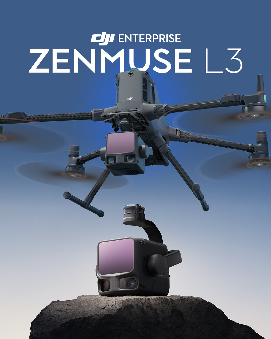
Meet the DJI Zenmuse L3: DJI's New Long-Range, High-Precision LiDAR System
The DJI Zenmuse L3 represents a significant leap in aerial LiDAR innovation, combining long-range laser technology up to 950m, dual 100MP 4/3 CMOS RGB cameras, and a high-precision POS system into a compact, integrated solution.
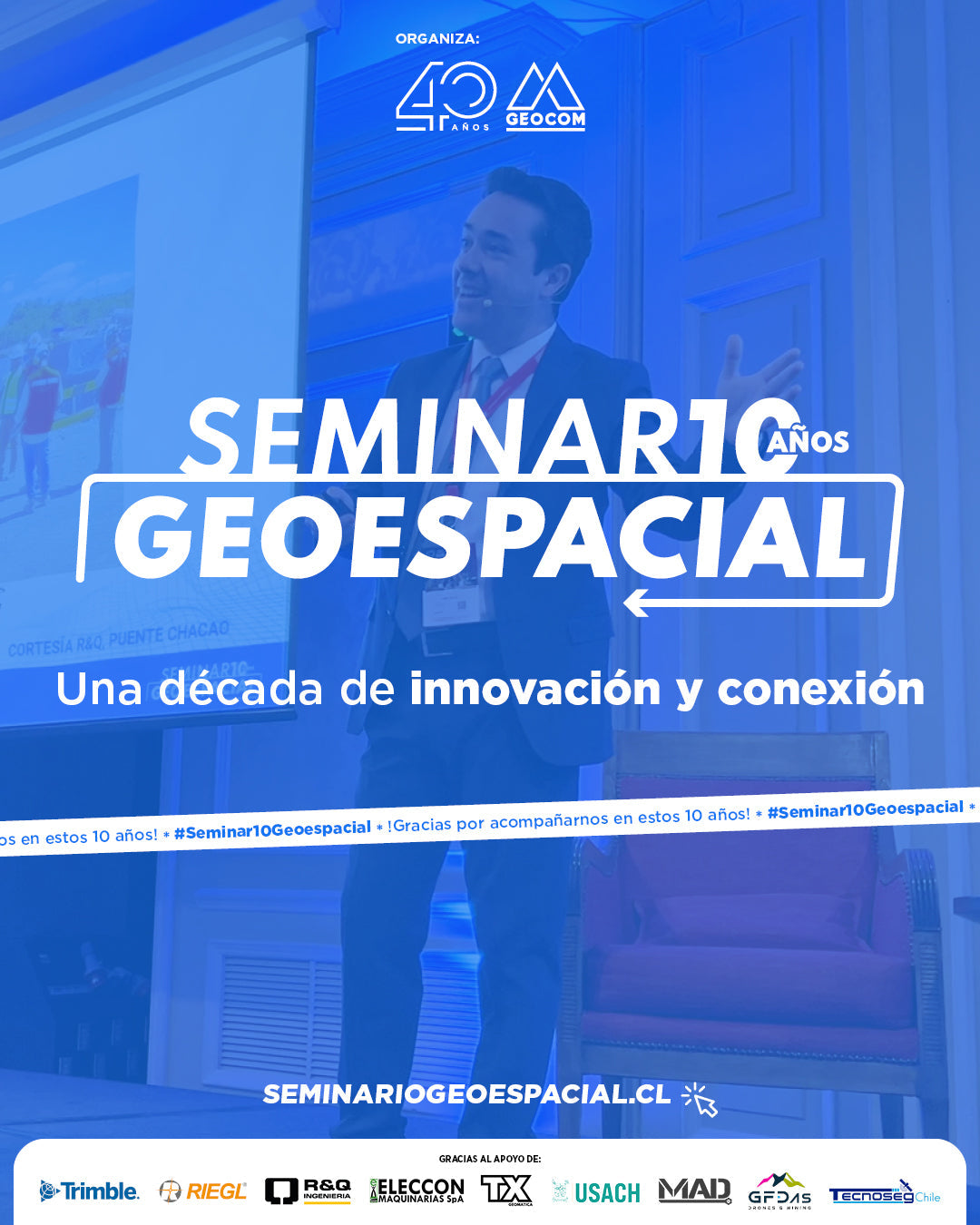
Geospatial Seminar 2025 - A decade of innovation and connection
The 2025 Geospatial Seminar, which this year celebrated a decade of history, brought together more than 200 surveying professionals interested in learning about the latest trends and developments in geospatial technology.
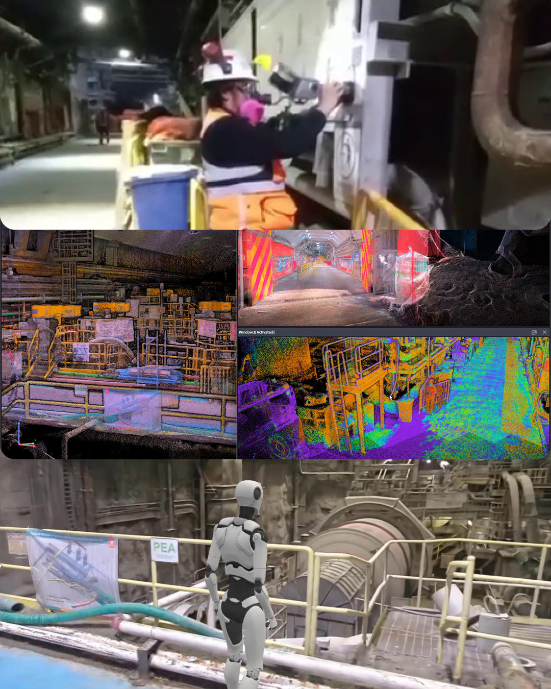
XGRIDS L2 Pro experience in an industrial processing plant
In our latest experience video, we documented a survey carried out with the XGRIDS L2 Pro Multi-SLAM, demonstrating the capabilities of this cutting-edge technology in extremely challenging conditions: tunnel scanning.

GEOCOM 2026 Calendar Contest - Participate!
Geocom invites surveyors, geomensurers, and geospatial professionals to participate in the new edition of the 2026 Calendar Contest, where your best field work photos can become an inspiration for the entire community.
Participate until Sunday, November 23, 2025!
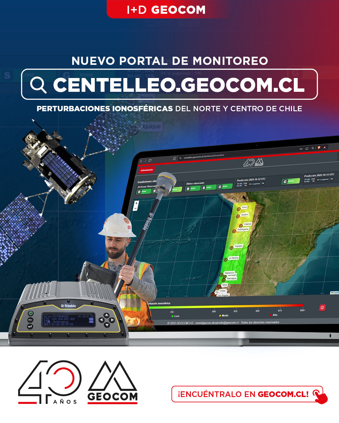
New portal for monitoring ionospheric disturbances