

News
![[WORKSHOP GEOCOM] Incorporación de Trimble RTX en redes GNSS](http://www.geocom.cl/cdn/shop/articles/post_workshop_Incorporacion_de_RTX_en_redes_GNSS3_e4927cf6-48fe-4cd4-b7ea-2a80c527f1e6.jpg?v=1777036022&width=1080)
[WORKSHOP GEOCOM] Incorporating Trimble RTX into GNSS networks
TUESDAY, MAY 12 | 09:00 AM TO 12:30 PM | SANTIAGO
This workshop will focus on the integration of Trimble RTX solutions within GNSS networks and workflows.
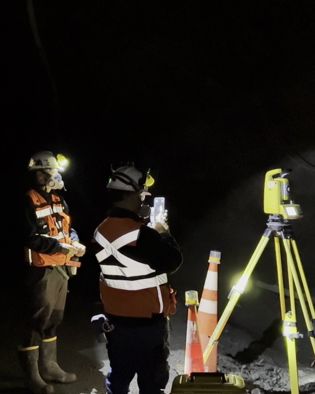
Optimization of geodetic networks in tunnels
Learn about Diexa's success story in integrating GNSS technology and Trimble robotic stations for underground projects. This technical report details how to achieve millimeter precision in complex geometries by using Rothbucher accessories and automated workflows in Trimble Business Center.
![[WEBINAR GEOCOM] Gaussian Splatting en DJI Terra](http://www.geocom.cl/cdn/shop/articles/software-dji-terra-fotogrametria-escritorio-profesional_308b4d0e-850d-43c1-b56d-a8890ad826e3.jpg?v=1778186099&width=1600)
[GEOCOM WEBINAR] Gaussian Splatting in DJI Terra
THURSDAY, MAY 07 | 11:00 AM (GMT-4) | ZOOM & YOUTUBE LIVE
In this webinar developed by GEOCOM's UAS area, we will explore the implementation of Gaussian Splatting in DJI Terra software.
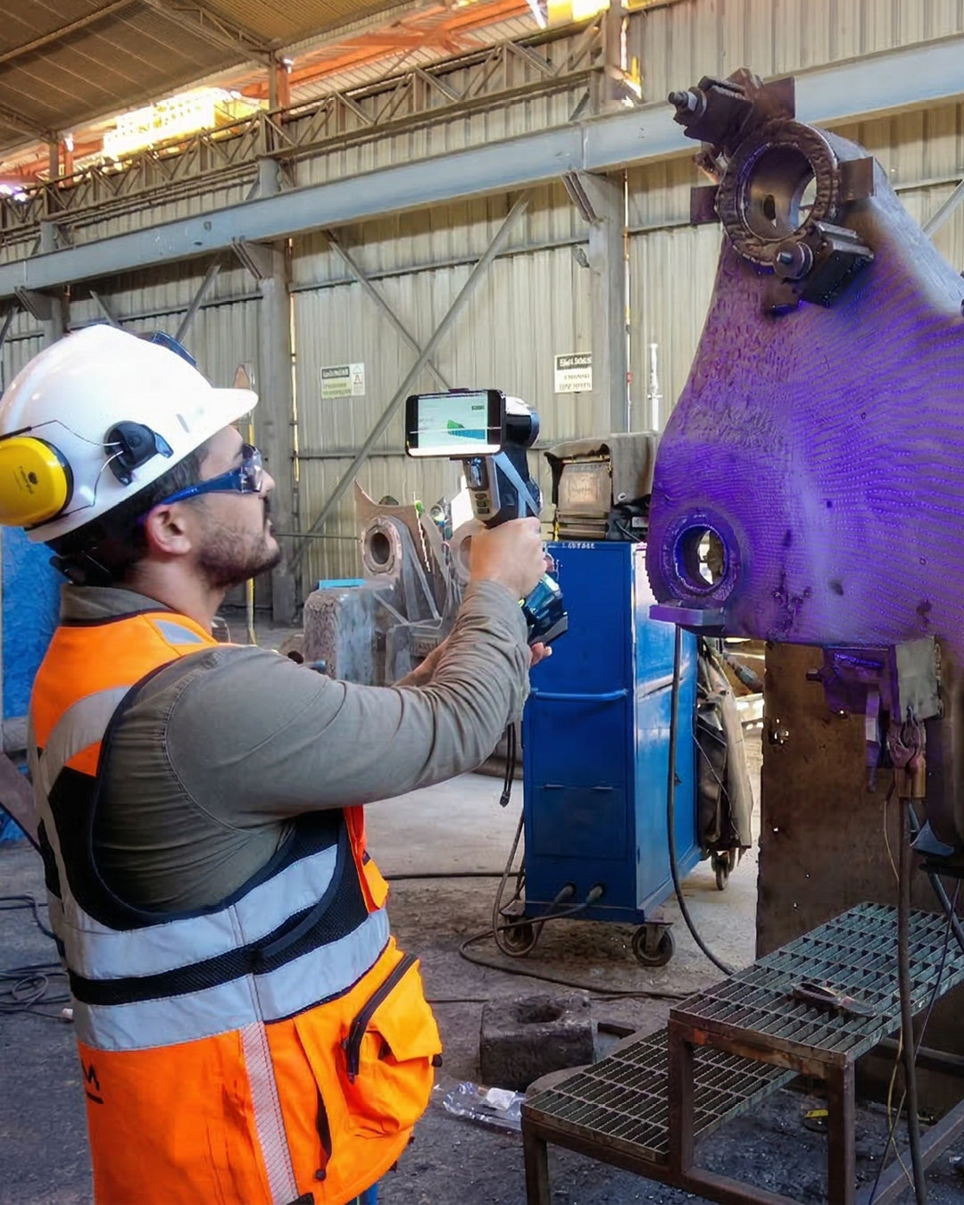
Metrology without Limits: Digitizing Large Structures with KSCAN-X
Discover how the Scanology team digitized a 7-meter mechanical part using the KSCAN-X. In this new Geocom Experience, we put wireless 3D technology to the test, capable of capturing large volumes from 2.5 meters away with millimeter precision and without cable restrictions.
![[WORKSHOP SANTIAGO] Tecnología geoespacial aplicada en minería](http://www.geocom.cl/cdn/shop/articles/post_workshop_Tecnologia_Geoespacial_Aplicada_en_la_Mineria.jpg?v=1773923999&width=1080)
[SANTIAGO WORKSHOP] Geospatial technology applied to mining
THURSDAY, APRIL 16 | 09:00 AM TO 01:00 PM | GEOCOM
This workshop will present two key platforms for data optimization in the mining sector: Trimble® Mine Insights™ and Trimble® Business Center (TBC) Mining.
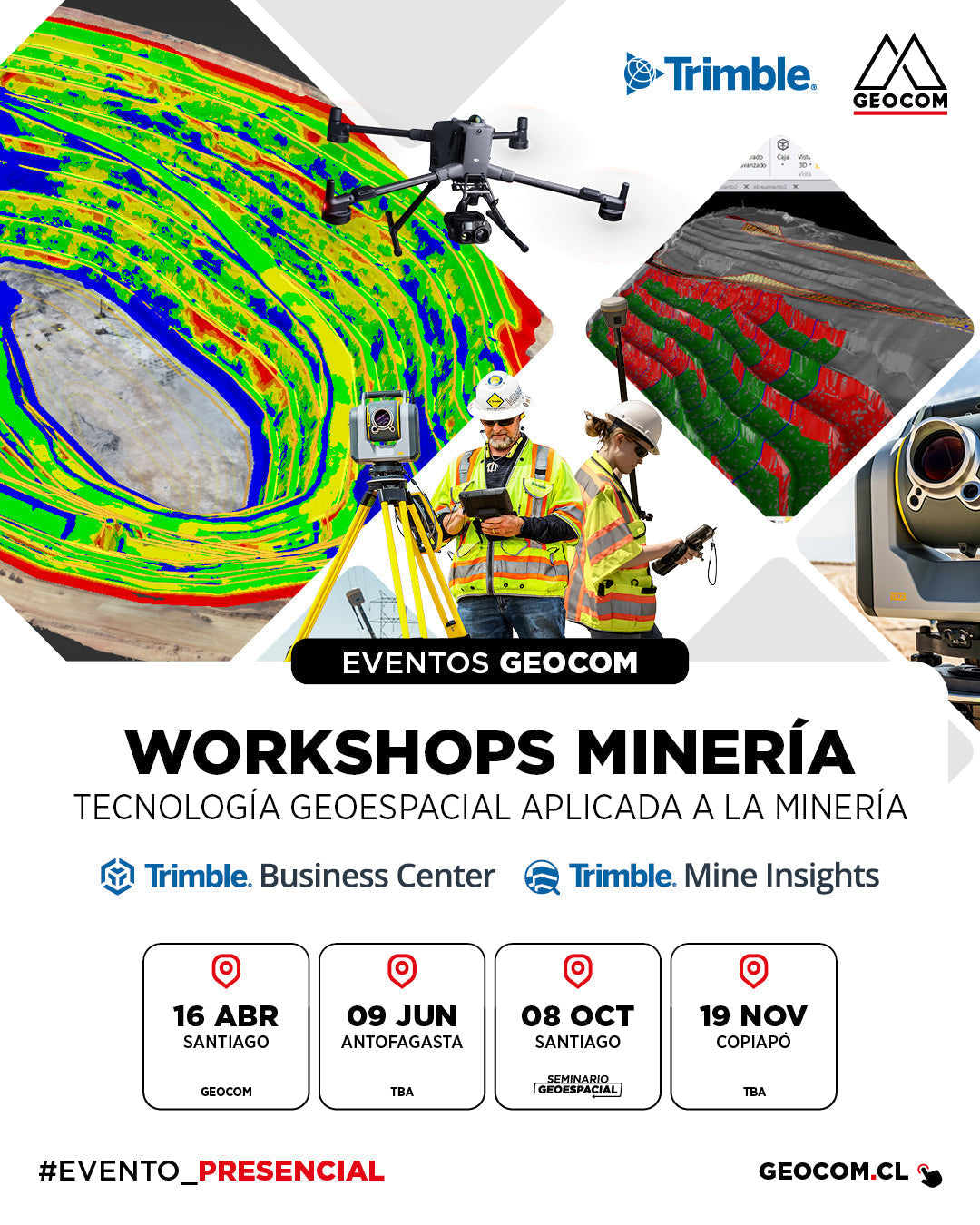
Free Mining Workshop Series 2026
GEOCOM invites industry professionals to our annual series of free workshops, designed to delve into the tools that are redefining efficiency in mining.
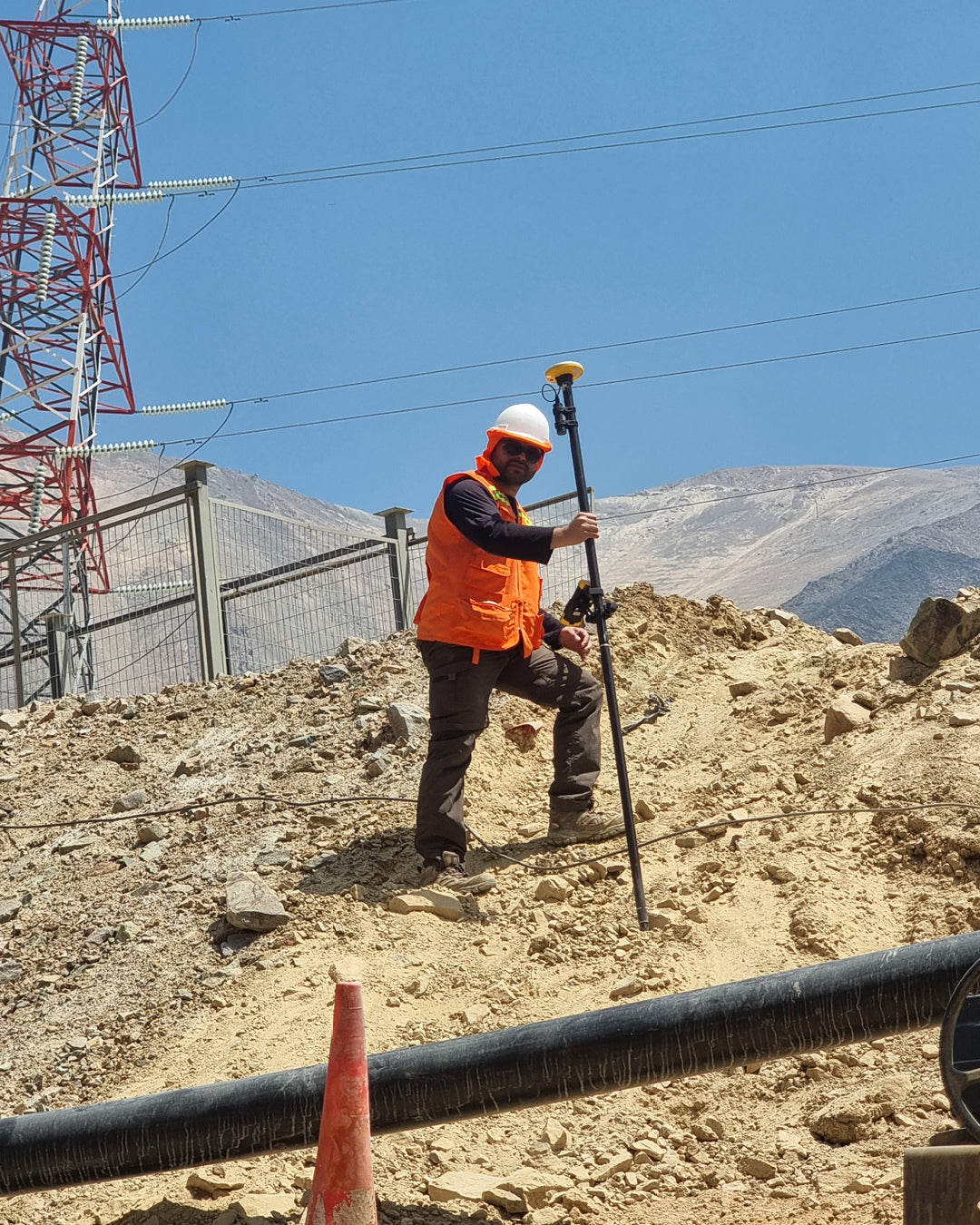
Trimble DA2 in support of geophysics
The company 128 Hz has integrated the Trimble DA2 GNSS receiver to elevate precision standards in its active seismic surveys and electrical resistivity tomography (ERT) studies.
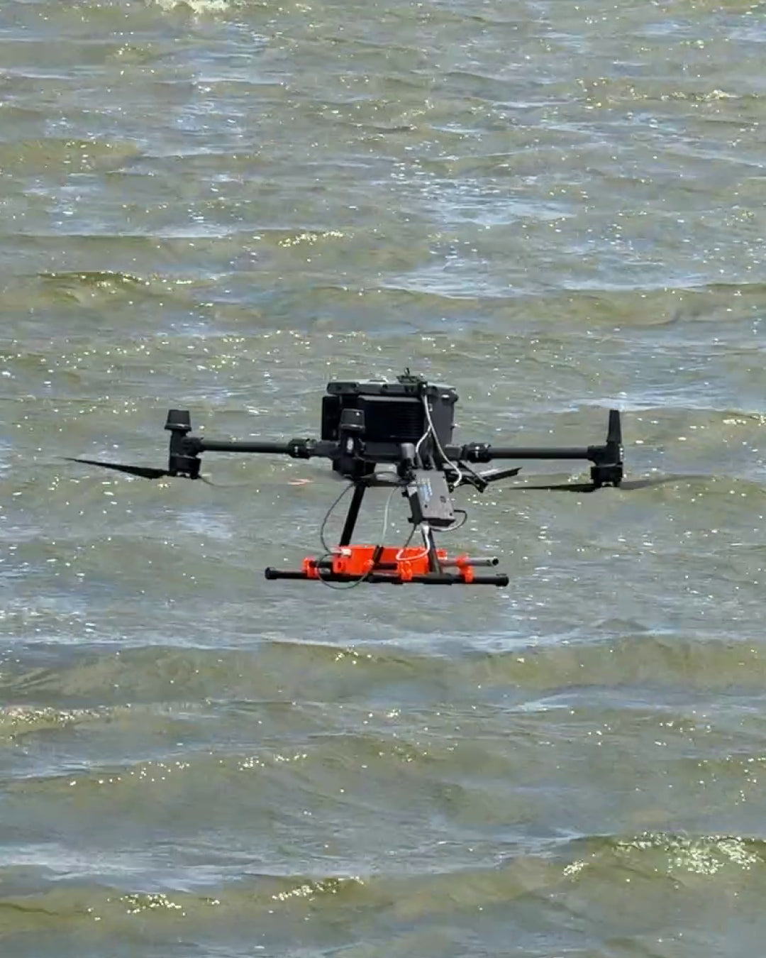
Airborne GPR: How to See Underground with Drones and SPH Engineering
Traditionally, conducting a GPR survey meant dragging heavy equipment on sleds or carts, facing dense vegetation, dangerous slopes, and inaccessible areas. Today, thanks to the integration of SPH Engineering, we have taken ground penetrating radar to the sky.
![[WORKSHOP GEOCOM] Transformaciones geodésicas en TBC](http://www.geocom.cl/cdn/shop/articles/post_workshop_Transformaciones_geodesicas_en_TBC_ab780b95-3b88-40f6-8d9c-344a5e7e4a27.jpg?v=1770991162&width=1080)
[GEOCOM WORKSHOP] Geodetic Transformations in TBC
TUESDAY, MARCH 10 | 09:00 AM TO 12:30 PM | GEOCOM
This workshop will cover the fundamental concepts necessary for correctly incorporating Datum transformation parameters and coordinate systems into TBC.
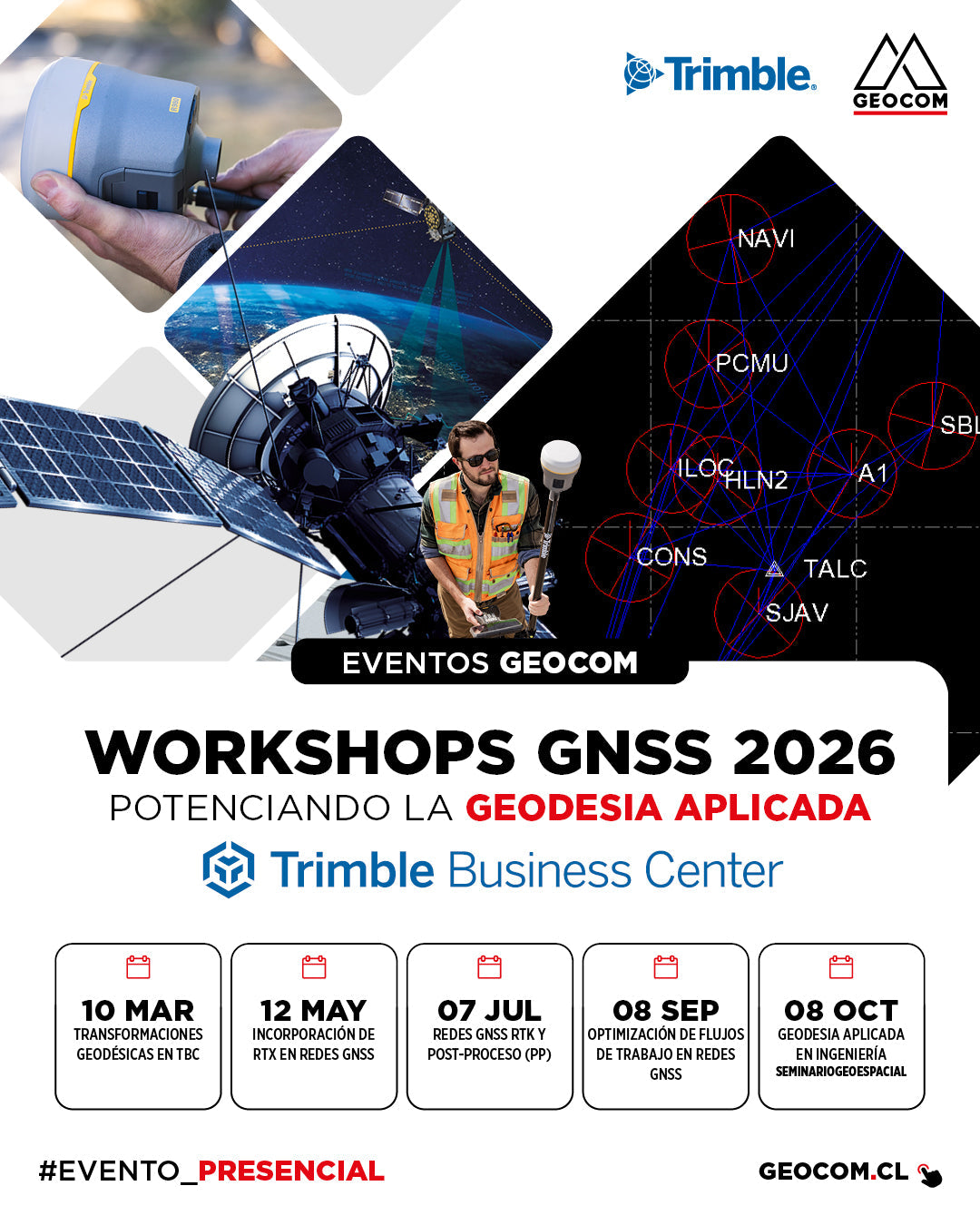
Review the annual schedule of technical workshops. This training cycle is designed to delve deeper into the use of Trimble Business Center (TBC) and the latest trends in satellite positioning.

GNSS RTX positioning in SIRGAS Chile 2025.0
Did you know that it is now possible to achieve centimeter-level accuracy in real time without the need for a base station? In our latest study, we validated the Trimble RTX workflow linked to the new geodesic framework SIRGAS Chile 2025.0
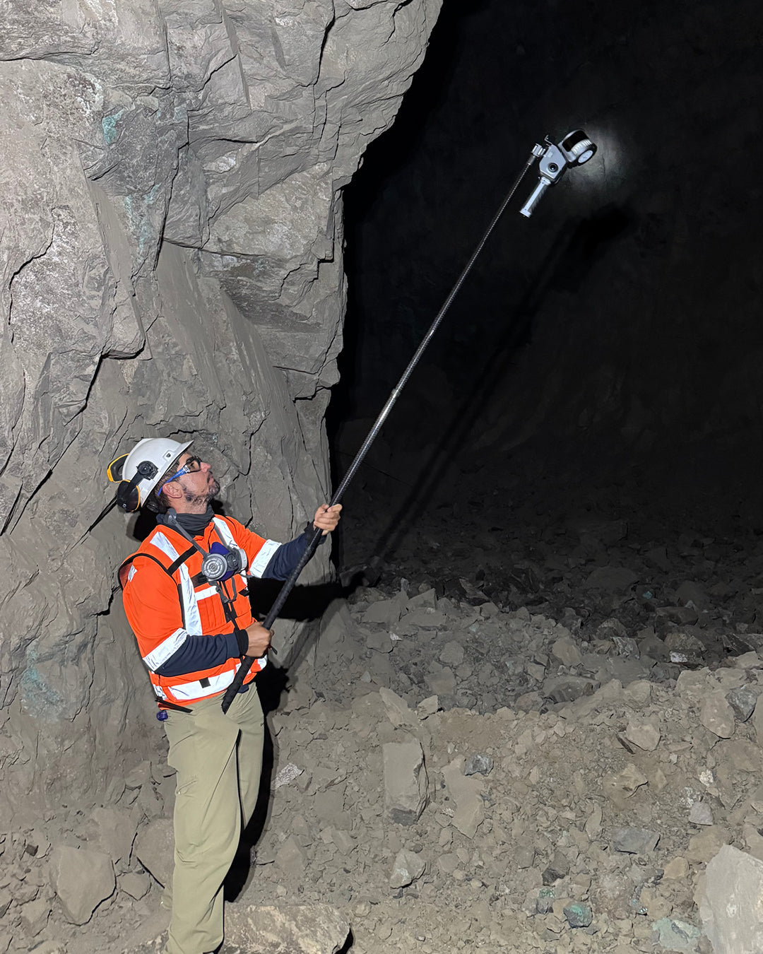
Engineering PR Tests the XGRIDS Lixel L2 Pro
Discover how the XGRIDS Lixel L2 Pro is revolutionizing underground mining. Engineering PR and GEOCOM demonstrate the use of MULTI-SLAM technology for 3D point clouds
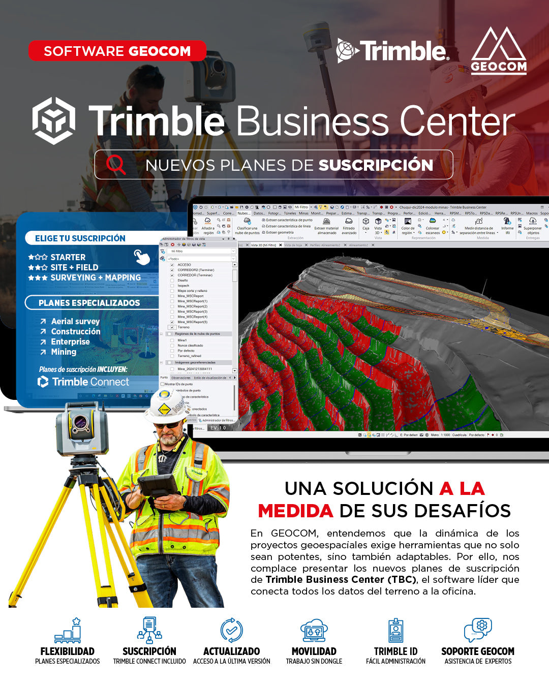
TBC Transforms: Discover the new subscription plans to boost your productivity
Introducing the new Trimble Business Center (TBC) subscription plans, designed to give you maximum control and flexibility on every project.
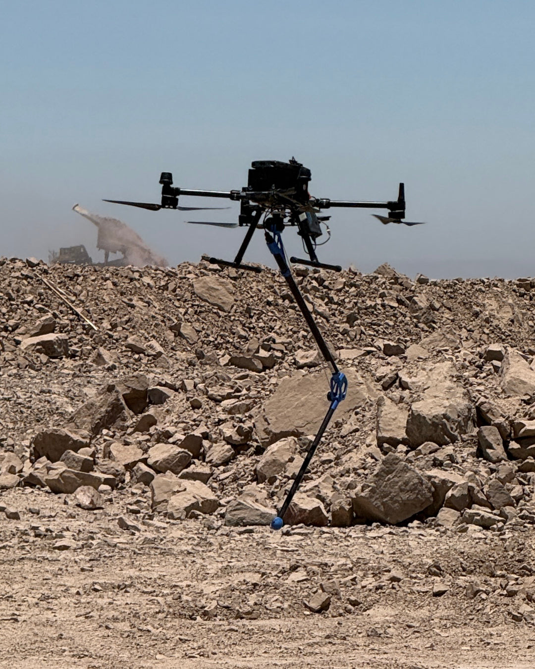
Air Magnetometry with Sensys R1: Detection of Unrecoverable Objects in Mining
The entry of ferrous metals or "unchushable" materials into the crusher represents a risk of millions in losses due to repairs and lost profits in mining. To address this challenge, Geocom presents a cutting-edge solution: the integration of the Sensys R1 magnetometer into drone (UAS) platforms.
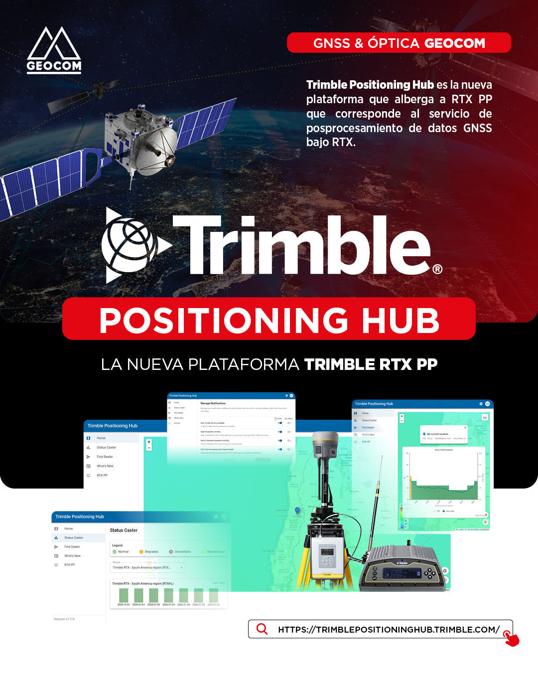
Trimble Positioning Hub: The New Trimble RTX PP Space
Trimble Positioning Hub, the new comprehensive platform designed to host the RTX PP (Post-Processing) service. This space not only simplifies GNSS data post-processing using RTX technology but also centralizes critical tools for the success of your projects.