News

[Webinar] Geotech Trimble Mine Insights

[Webinar] Geotech Trimble Mine Insights

Descubre en nuestro webinar cómo el módulo Geotech de Trimble Mine Insights optimiza la seguridad minera usando IA para la estabilidad de taludes.

Read more

[Webinar] Batimetría aérea de alta precisión

[Webinar] Batimetría aérea de alta precisión

Descubre la batimetría aérea multihaz con drones en el webinar de GEOCOM. Mapeo 3D rápido y sin embarcaciones. ¡Inscríbete para este 15 de octubre!

Read more

[Webinar] Centelleo satelital: Impacto para temporada 2026-2027

[Webinar] Centelleo satelital: Impacto para temporada 2026-2027

¿Tus equipos GNSS están listos para la temporada de centelleo satelital? Aprende a diagnosticar y remediar su impacto operativo en el webinar I+D de Geocom.

Read more

[Webinar] Cálculo de volumen  de stockpiles, botaderos y acopios en TBC+TMI

[Webinar] Cálculo de volumen de stockpiles, botaderos y acopios en TBC+TMI

Optimiza el cálculo de volumen de stockpiles y botaderos en minería con Trimble Business Center y Trimble Mine Insights. Únete al webinar gratuito de GEOCOM

Read more

[Webinar GEOCOM ] Caminos Inteligentes: Flujo de trabajo optimizado con TMI y TBC

[Webinar GEOCOM ] Caminos Inteligentes: Flujo de trabajo optimizado con TMI y TBC

Transforma nubes de puntos LiDAR y de drones en reportes y KPIs con TMI y TBC. Conoce el flujo optimizado para caminos junto a GEOCOM.

Read more

[Webinar GEOCOM ] Tecnología Geoespacial en Alta Montaña

[Webinar GEOCOM ] Tecnología Geoespacial en Alta Montaña

¿Mide el Cerro El Plomo 5424 m? Conoce los resultados de la observación geodésica y fotogrametría de Fernando Millar en nuestro próximo webinar.

Read more

[Webinar Trimble ] GNSS accesible y a tu medida

[Webinar Trimble ] GNSS accesible y a tu medida

Webinar enfocado en cómo trabajar desde aplicaciones de mapping submétrico hasta levantamientos centimétricos, sin necesidad de una base, gracias Trimble RTX.

Read more

[Webinar GEOCOM ] Del mundo real al entorno digital

[Webinar GEOCOM ] Del mundo real al entorno digital

En este webinar, exploraremos cómo el Gaussian Splatting junto con la integración de la tecnología Multi-SLAM de XGRIDS están redefiniendo el campo del renderizado y la reconstrucción 3D permitiendo la generación de representaciones ultra-realistas

Read more

[WEBINAR GEOCOM] Gaussian Splatting en DJI Terra

[GEOCOM WEBINAR] Gaussian Splatting in DJI Terra

THURSDAY, MAY 07 | 11:00 AM (GMT-4) | ZOOM & YOUTUBE LIVE

In this webinar developed by GEOCOM's UAS area, we will explore the implementation of Gaussian Splatting in DJI Terra software.

Read more

[Webinar GEOCOM] Inspección en minería subterránea

[GEOCOM Webinar] Underground Mining Inspection

Watch the webinar recording!

Discover how drones inspect inaccessible areas quickly and safely, reducing risks. Learn about success stories, workflows, and real data analysis.

Read more

[Webinar GEOCOM] Inspección de infraestructura con Twinspect

[Webinar GEOCOM] Infrastructure inspection with Twinspect

NOW AVAILABLE!

Based on real-world cases, such as detailed bridge inspections, the complete workflow will be showcased, from aerial image capture to AI-powered detection of existing damage.
Read more

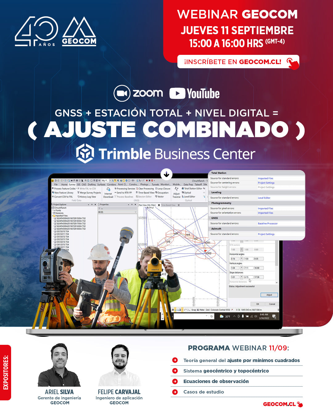
Webinar GEOCOM | GNSS + Estación Total + Nivel Digital = Ajuste combinado en TBC

GEOCOM Webinar | GNSS + Total Station + Digital Level = Combined Adjustment in TBC

NOW AVAILABLE! | ZOOM & YOUTUBE LIVE

Satellite observations can be combined with terrestrial observations in a single project, achieving high effectiveness in the precise determination of coordinates for engineering works.
Read more

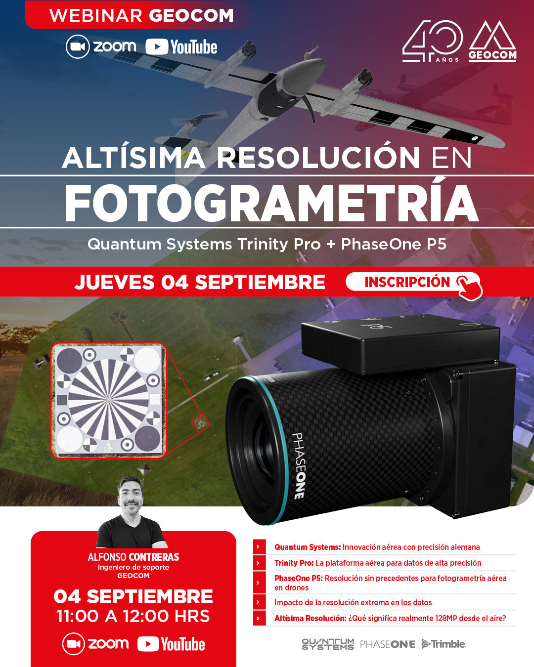
Webinar GEOCOM | Altísima resolución en fotogrametría: Trinity Pro + PhaseOne P5

GEOCOM Webinar | Ultra-high resolution in photogrammetry: Trinity Pro + PhaseOne P5

NOW AVAILABLE! | ZOOM & YOUTUBE LIVE

In this webinar, we will discover how the combination of the Trinity Pro, one of the most advanced VTOL drones on the market, and the 128-megapixel PhaseOne P5 camera, marks the beginning of a new geospatial trend associated with high resolution.

Read more

Webinar Geocom | DJI Matrice 400

Geocom Webinar | DJI Matrice 400

NOW AVAILABLE!

One of the central themes of this webinar will be its extensive compatibility with smart sensors (H30 Series, L2, P1, V1, S1, among others), which make this platform a comprehensive solution for various industries.

Read more

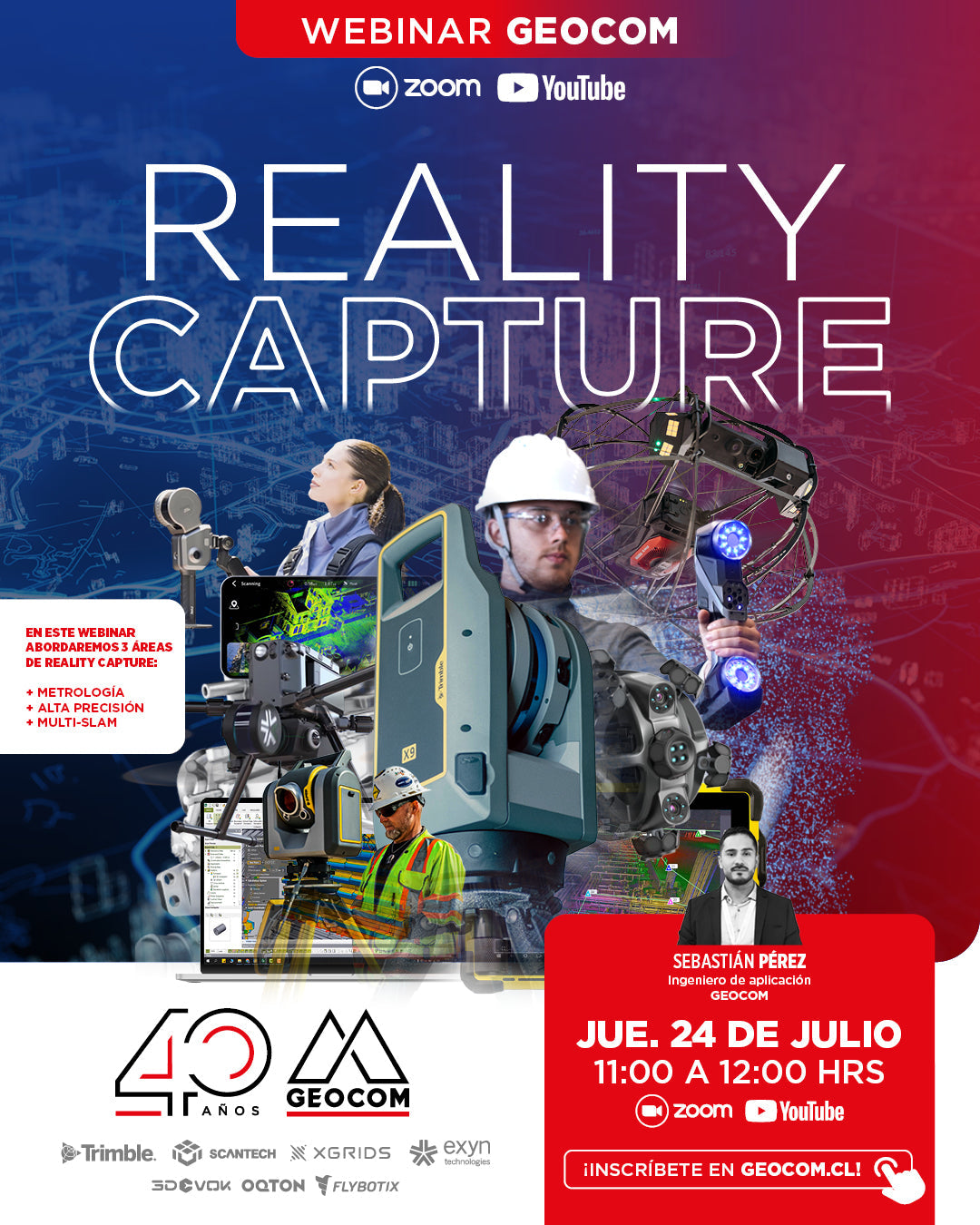
WEBINAR GEOCOM | Reality Capture

GEOCOM WEBINAR | Reality Capture

NOW AVAILABLE | YOUTUBE LIVE

In this webinar, we will address 3 areas of Reality Capture: Metrology, High Precision, and Multi-SLAM. 

Read more