


[GEOCOM WEBINAR] REALITY CAPTURE
THURSDAY, JULY 24 / 11:00 AM TO 12:00 PM / ZOOM & YOUTUBE LIVE
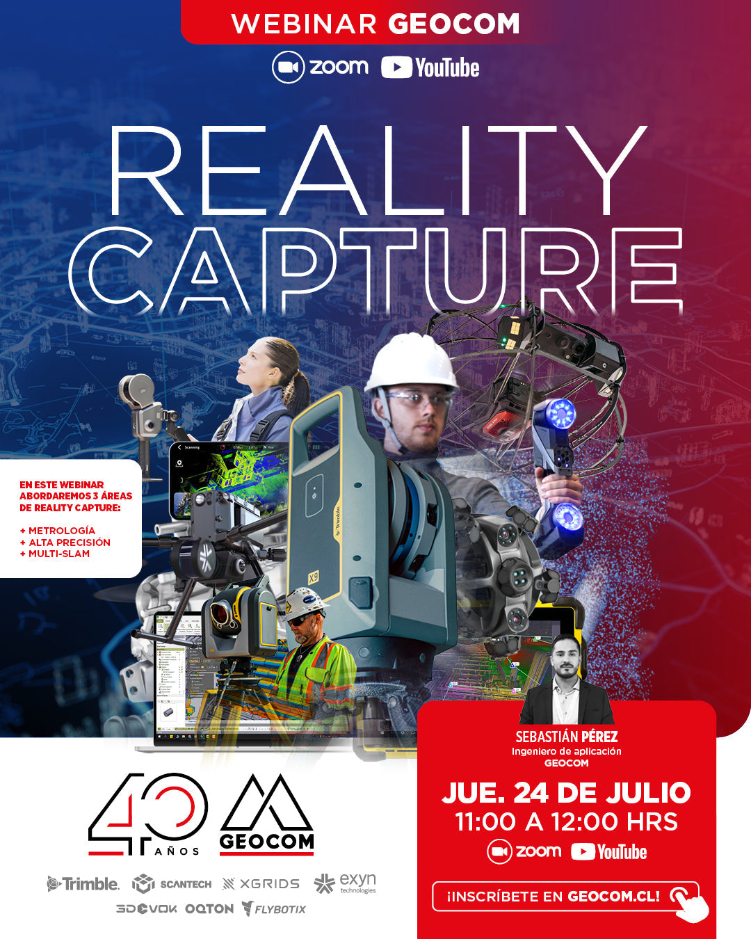
Reality Capture encompasses a set of technologies that enable the digitization of specific components or entire project environments through the use of laser scanners and/or images. These tools quickly capture geometry, generating point clouds that serve as a basis for various applications, such as the creation of As-Built models of industrial plants, reverse engineering, monitoring the condition of components in operation or manufactured, among other applications.
In this webinar, we will address 3 areas of Reality Capture:
| ⨭ Metrology: Scanners with accuracies of up to 0.02 mm and a high level of detail. They are designed for digitizing small to large components. |
| ⨭ High Precision: Scanners with millimeter accuracies and long range. Ideal for surveying complete environments, such as industrial plants and large structures. |
| ⨭ Multi-SLAM: Scanners with centimeter accuracies, optimized for data capture in motion. They enable fast and efficient scanning, with a great capacity to generate geometric digital twins in dynamic environments. |
📅 THURSDAY, JULY 24 | 11:00 AM TO 12:00 PM | VIA ZOOM & YOUTUBE LIVE

REGISTRATION

Compartir:
SkyVisor - Wind Turbine Inspection Guide
Trimble Equipment Protection Plan