

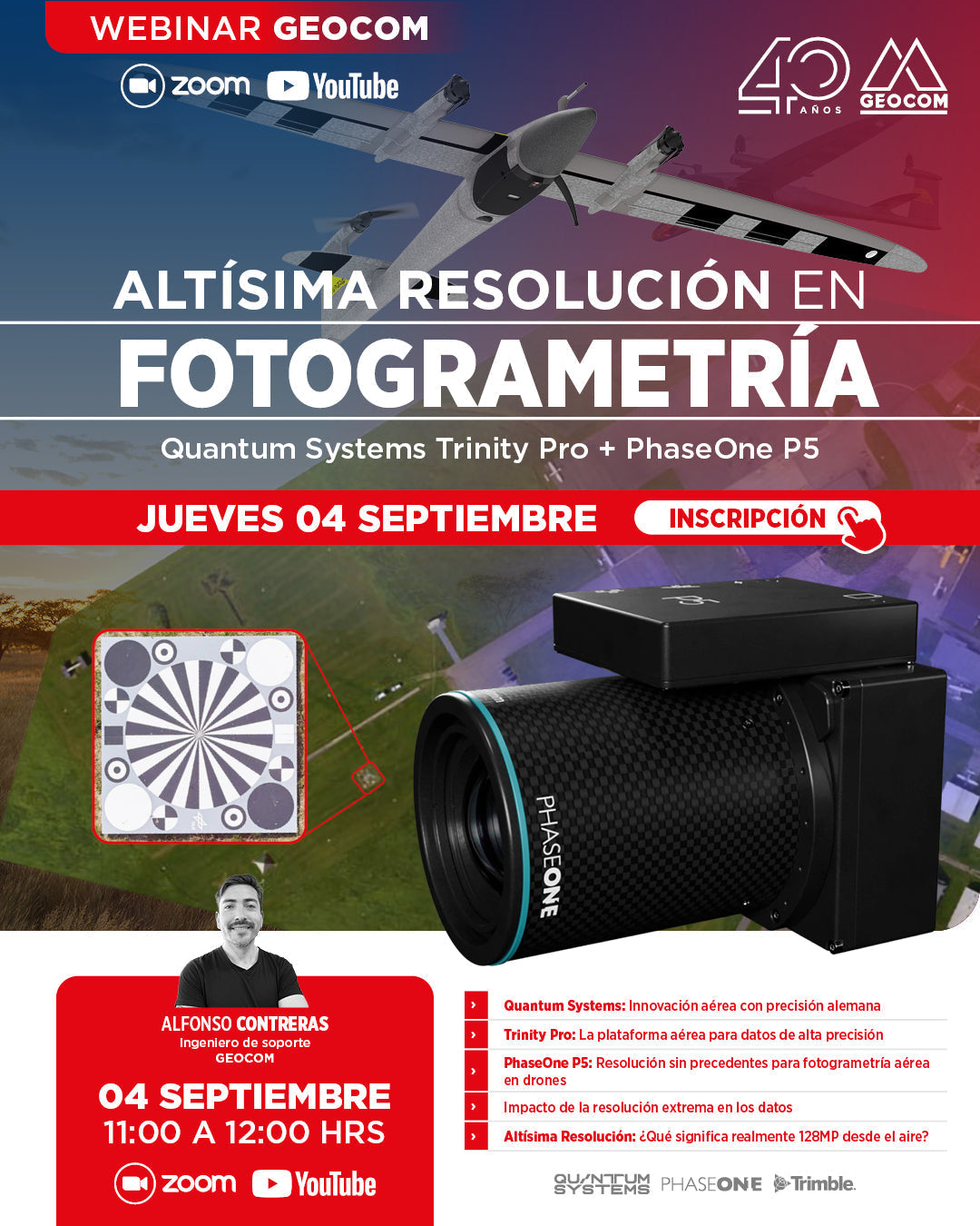

[GEOCOM WEBINAR] ULTRA-HIGH RESOLUTION IN PHOTOGRAMMETRY: TRINITY PRO + PHASEONE P5
THURSDAY, SEPTEMBER 04 / 11:00 AM TO 12:00 PM / ZOOM & YOUTUBE LIVE
In this webinar, we will discover how the combination of the Trinity Pro, one of the most advanced VTOL drones on the market, and the 128-megapixel PhaseOne P5 camera, marks the beginning of a new geospatial trend associated with high resolution.
We will explore how ultra-high resolution not only improves the topographical precision of your products but also opens new possibilities in fields such as inspection, technical documentation, security, and even in data preparation for Artificial Intelligence, allowing the identification of details imperceptible to conventional sensors.
What will you learn in this Webinar?
| ⨭ Quantum Systems: Aerial innovation with German precision |
| ⨭ Trinity Pro: The aerial platform for high-precision data |
| ⨭ PhaseOne P5: Unprecedented resolution for aerial photogrammetry on drones |
| ⨭ Impact of extreme resolution on data |
| ⨭ Ultra-High Resolution: What does 128MP truly mean from the air? |
📅 THURSDAY, SEPTEMBER 04 | 11:00 AM TO 12:00 PM | VIA ZOOM & YOUTUBE LIVE

Compartir:
GEOCOM Launches Kurloo: The Autonomous, High-Precision GNSS Geomonitoring System
[Copiapó 📍 Workshop] Drones in the Geospatial World