

News

Announcement | Service Protocol

Following the aforementioned, the event will take place in the coming months, tentatively aiming for the last quarter of this year, which is expected to be confirmed shortly.
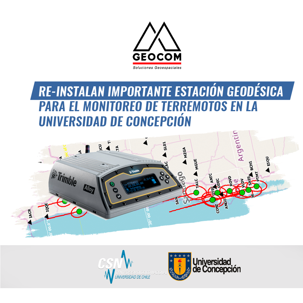
Important Geodetic Station Reinstalled for Earthquake Monitoring at the University of Concepción
On November 21, 2019, at the former TIGO (Transportable Integrated Geodetic Observatory) integrated geodetic station, currently located in Argentina (AGGO)
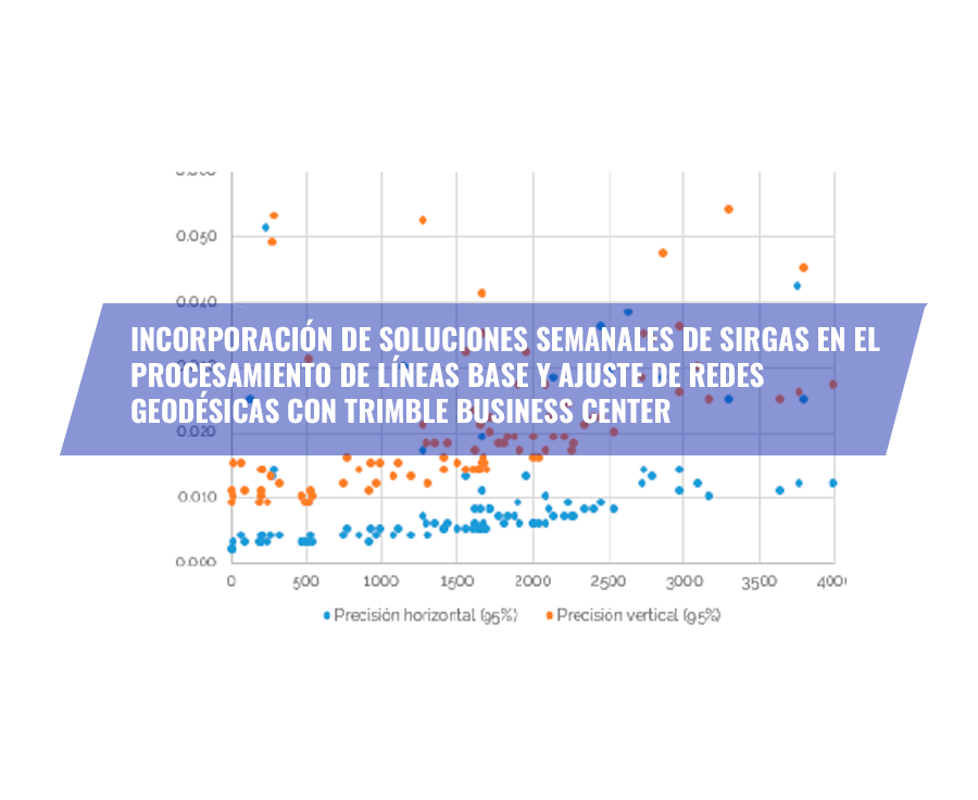
Since September 2003, SIRGAS has been established as the official geodetic datum of Chile. The advantages of using a geocentric datum are well-proven and go hand in hand with the systematic use of GNSS and measurement and calculation methodologies associated with space geodesy.
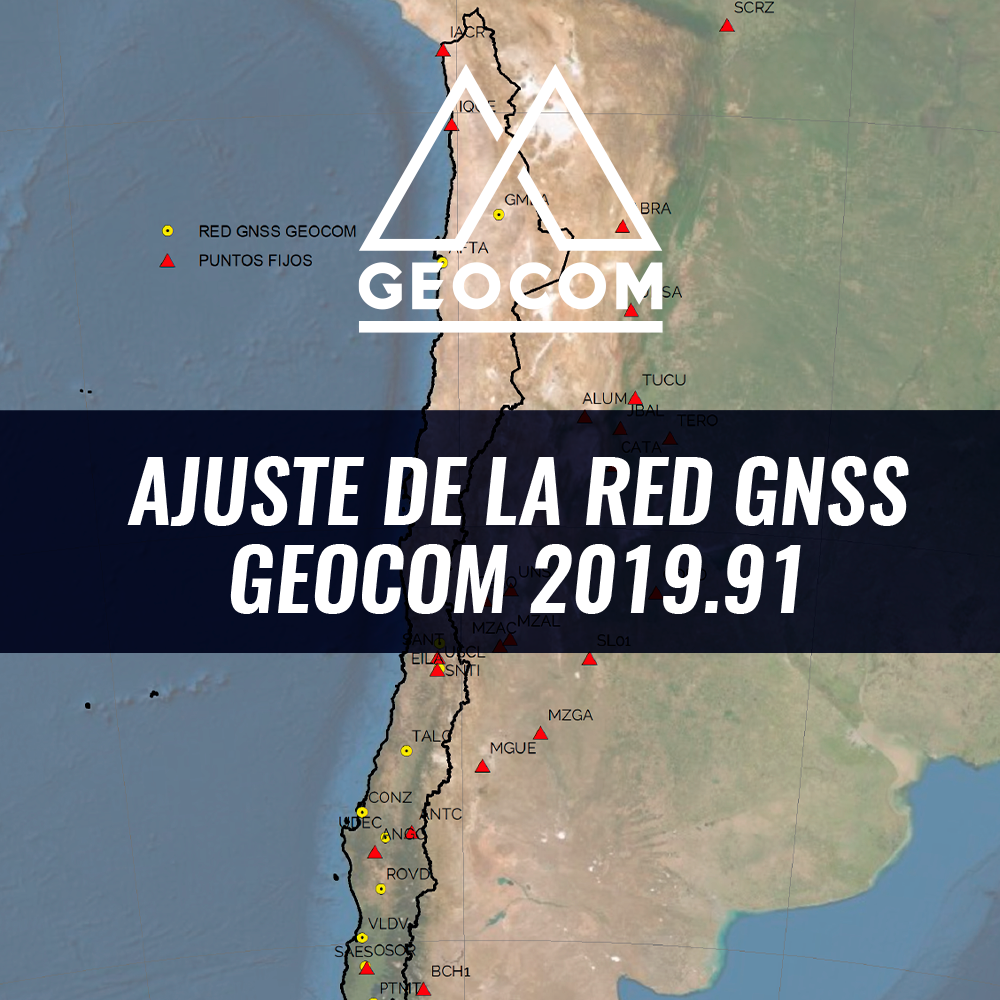
GEOCOM GNSS Network Adjustment 2019.91
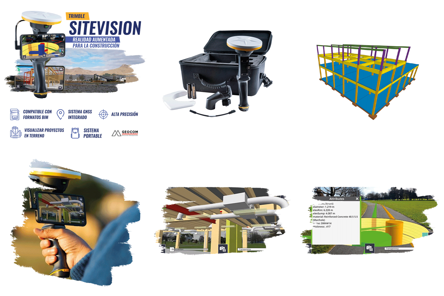
Trimble SiteVision | Augmented reality for construction
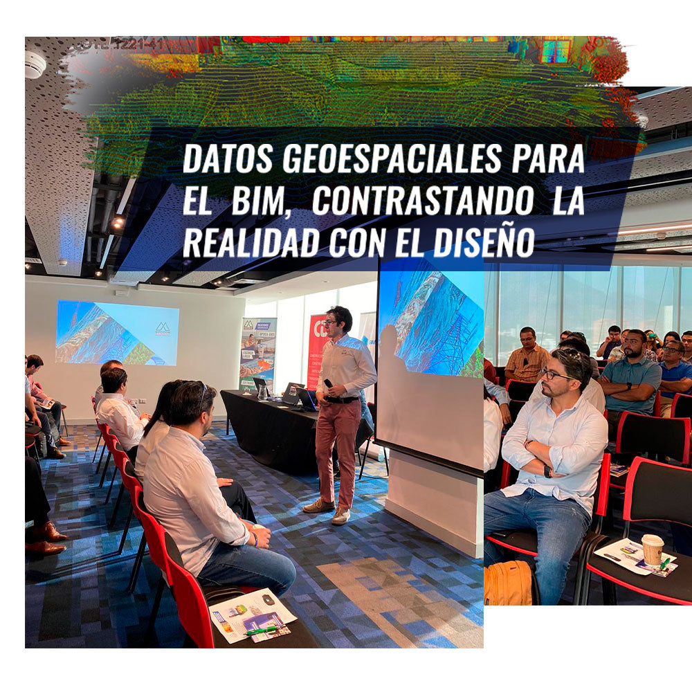
GEOSPATIAL DATA FOR BIM, CONTRASTING REALITY WITH DESIGN
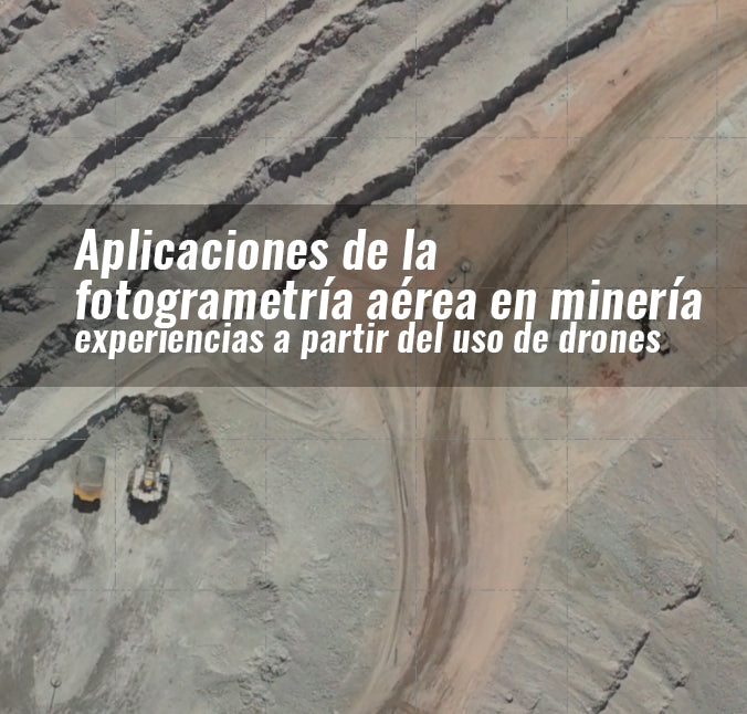
APPLICATIONS OF AERIAL PHOTOGRAMMETRY IN MINING: EXPERIENCES FROM THE USE OF DRONES
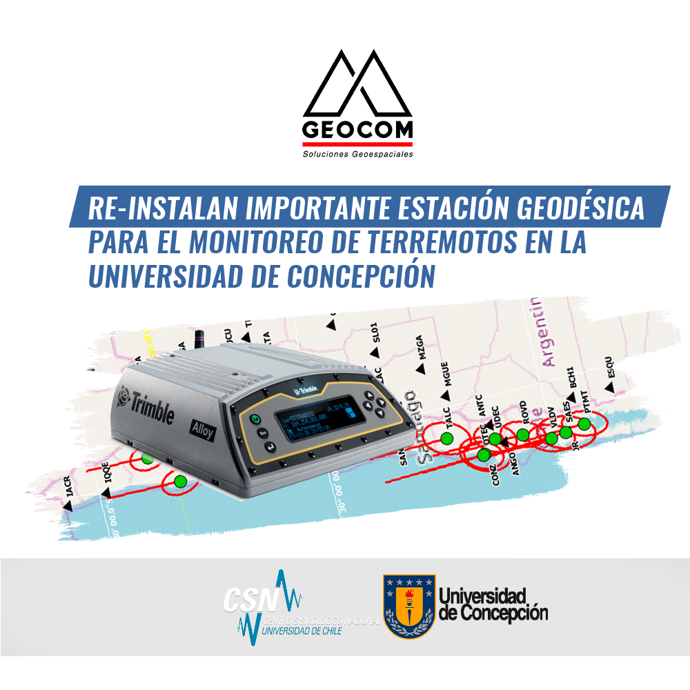
IMPORTANT GEODETIC STATION FOR EARTHQUAKE MONITORING REINSTALLED AT THE UNIVERSITY OF CONCEPCIÓN
