News

Reapertura Casa Matriz | GEOCOM

GEOCOM Headquarters Reopening

With the Ministry of Health's announcement of the lifting of the quarantine in the municipality of Providencia, we inform you that our main office at Av. Salvador 1105 will reopen its doors on Monday, April 13.
Read more

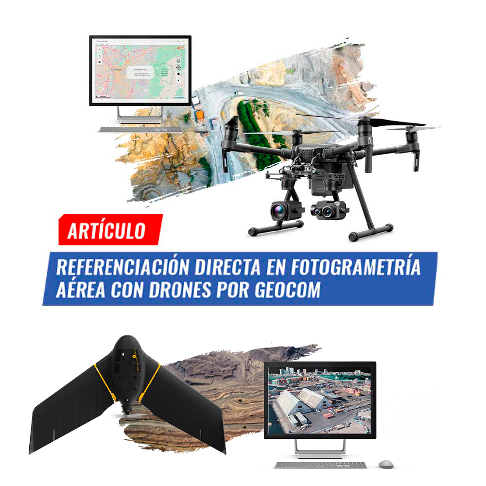
REFERENCIACIÓN DIRECTA EN FOTOGRAMETRÍA AÉREA CON DRONES

Direct Georeferencing in aerial photogrammetry with drones by GEOCOM

Photogrammetry has contributed greatly to data acquisition for topographic representation at various scales. Clearly, UAS (Unmanned Aerial Systems), better known as drones.

Read more

Participación en la revista nueva minería y energía

Participation in the New Mining and Energy magazine

Issue N°133 of Nueva Minería y Energía magazine is now available.

Access its digital version here.
Read more

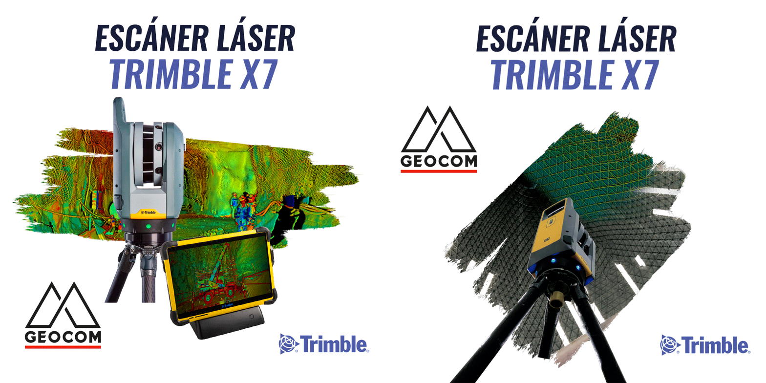
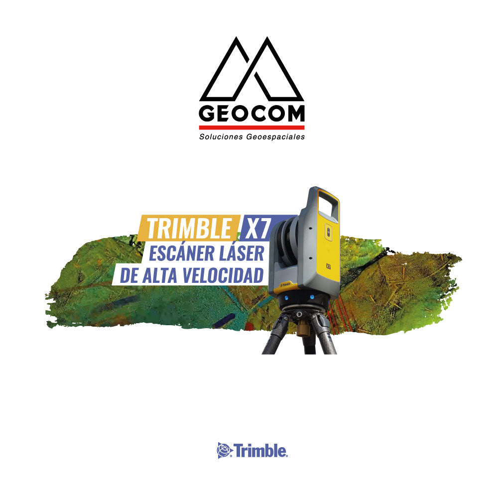
Trimble X7 | Escáner Láser de alta velocidad

Trimble X7 | High-speed Laser Scanner
    Trimble X7 is the tool to "bring the tunnel to the office", where through Trimble Realworks and/or Trimble Business Center software, the different areas of the project will be able to have detailed information on the current situation...

Read more

Cierre temporal Casa Matriz | GEOCOM

Temporary Closure of Headquarters | GEOCOM

Dear clients and collaborators, Given the recent declaration of total quarantine by the Ministry of Health in the Municipality of Providencia, we announce the closure of our headquarters.

Read more

Comunicado medidas COVID - 19 | GEOCOM

COVID-19 Measures Announcement | GEOCOM

Due to the COVID-19 pandemic, we want to inform our customers about the measures we have taken to provide the best possible service.
Read more

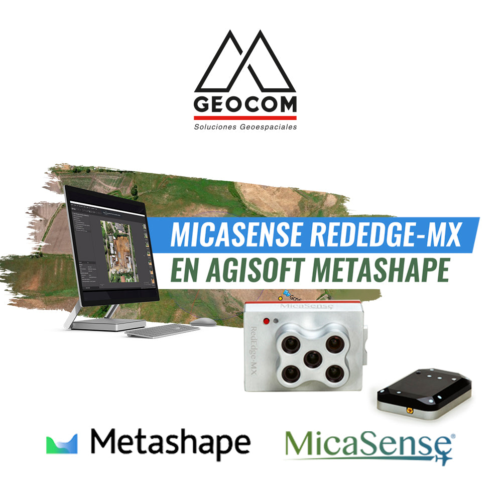
MicaSense-RedEdge-MX-en-Agisoft-Metashape-GEOCOM

MicaSense RedEdge-MX in Agisoft Metashape | GEOCOM
MicaSense RedEdge-MX is a powerful multispectral camera that captures 5 spectral bands. 

Read more

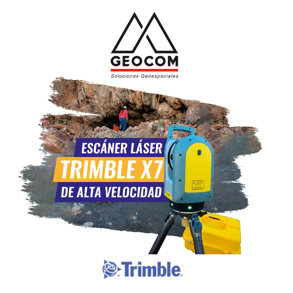
Escáner láser de alta velocidad | Trimble X7

High-Speed Laser Scanner | Trimble X7

The Trimble X7 is a professional and robust high-speed scanner.

Read more

Comunicado | Protocolo de atención

Announcement | Service Protocol

Due to the contingency in which we find ourselves as a country and given the declaration of a pandemic caused by the Coronavirus worldwide, GEOCOM has decided, as a preventive measure, to suspend activities.

Read more

Expomin | Postergación

Expomin | Postponement

Following the aforementioned, the event will take place in the coming months, tentatively aiming for the last quarter of this year, which is expected to be confirmed shortly.

Read more

Participación en GEOVOL 2020

Participation in GEOVOL 2020

With a large turnout, we concluded our participation in GEOVOL 2020. We appreciate the interest shown by the audience and the organization for developing this event.

Read more

Re-Instalan importante estación geodésica para el monitoreo de terremotos en la Universidad de Concepción

Important Geodetic Station Reinstalled for Earthquake Monitoring at the University of Concepción

On November 21, 2019, at the former TIGO (Transportable Integrated Geodetic Observatory) integrated geodetic station, currently located in Argentina (AGGO)


Read more

Incorporación de soluciones semanales SIRGAS en el procesamiento de líneas base y ajuste de redes geodésicas con Trimble Business Center

Integration of SIRGAS weekly solutions in baseline processing and geodetic network adjustment with Trimble Business Center

Since September 2003, SIRGAS has been established as the official geodetic datum of Chile. The advantages of using a geocentric datum are well-proven and go hand in hand with the systematic use of GNSS and measurement and calculation methodologies associated with space geodesy.

Read more

AJUSTE DE LA RED GNSS GEOCOM 2019.91

GEOCOM GNSS Network Adjustment 2019.91

The GEOCOM GNSS Network is a satellite positioning initiative that provides support infrastructure for Trimble receivers that observe code and phase in post-processing and real-time applications.

Read more

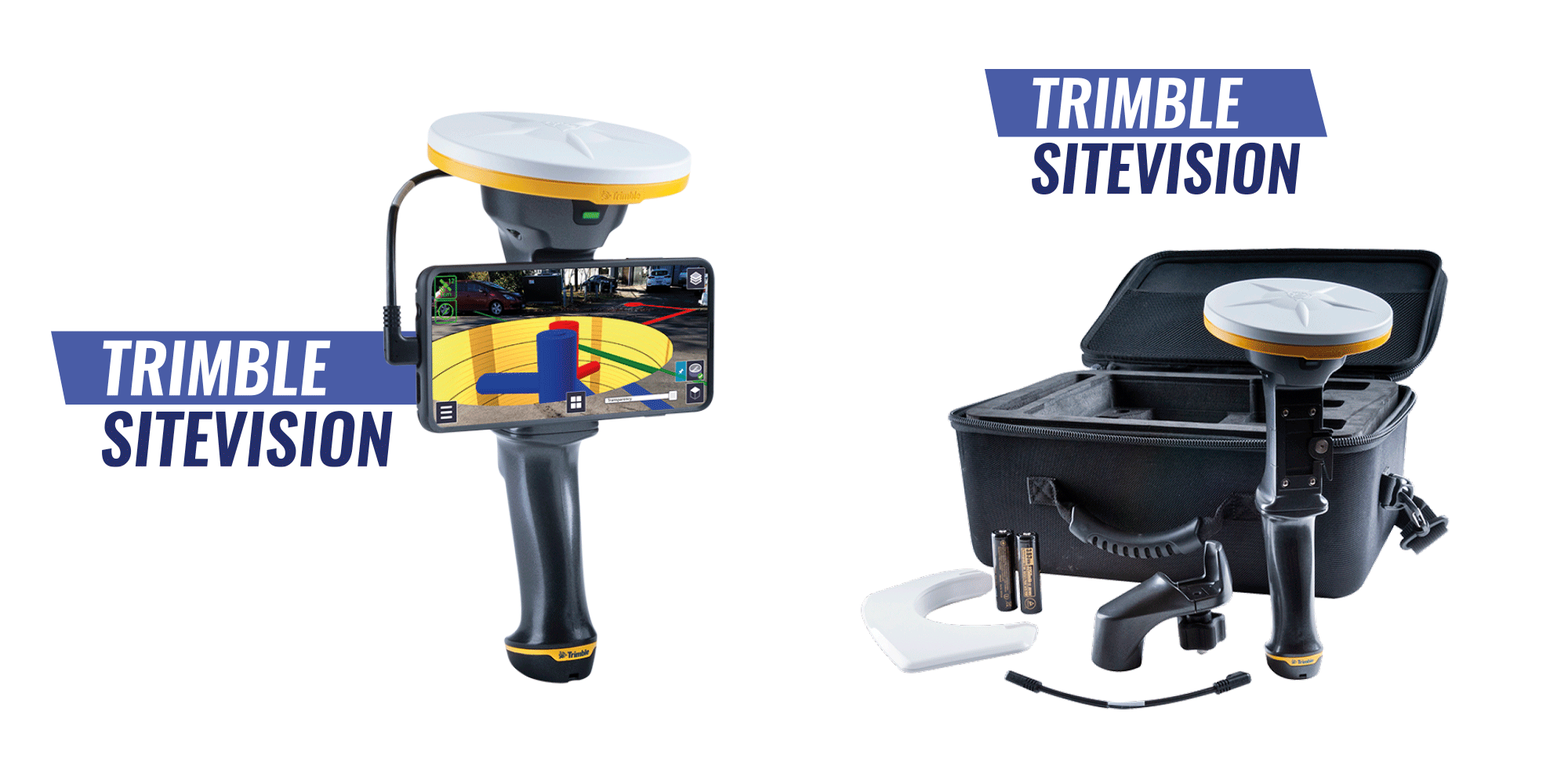
Trimble SiteVision | Realidad aumentada para la construcción

Trimble SiteVision | Augmented reality for construction

Sitevision is a portable, high-precision Augmented Reality system for construction that allows users to visualize projects on-site and bring them to life thanks to the high precision of its integrated GNSS system.

Read more