

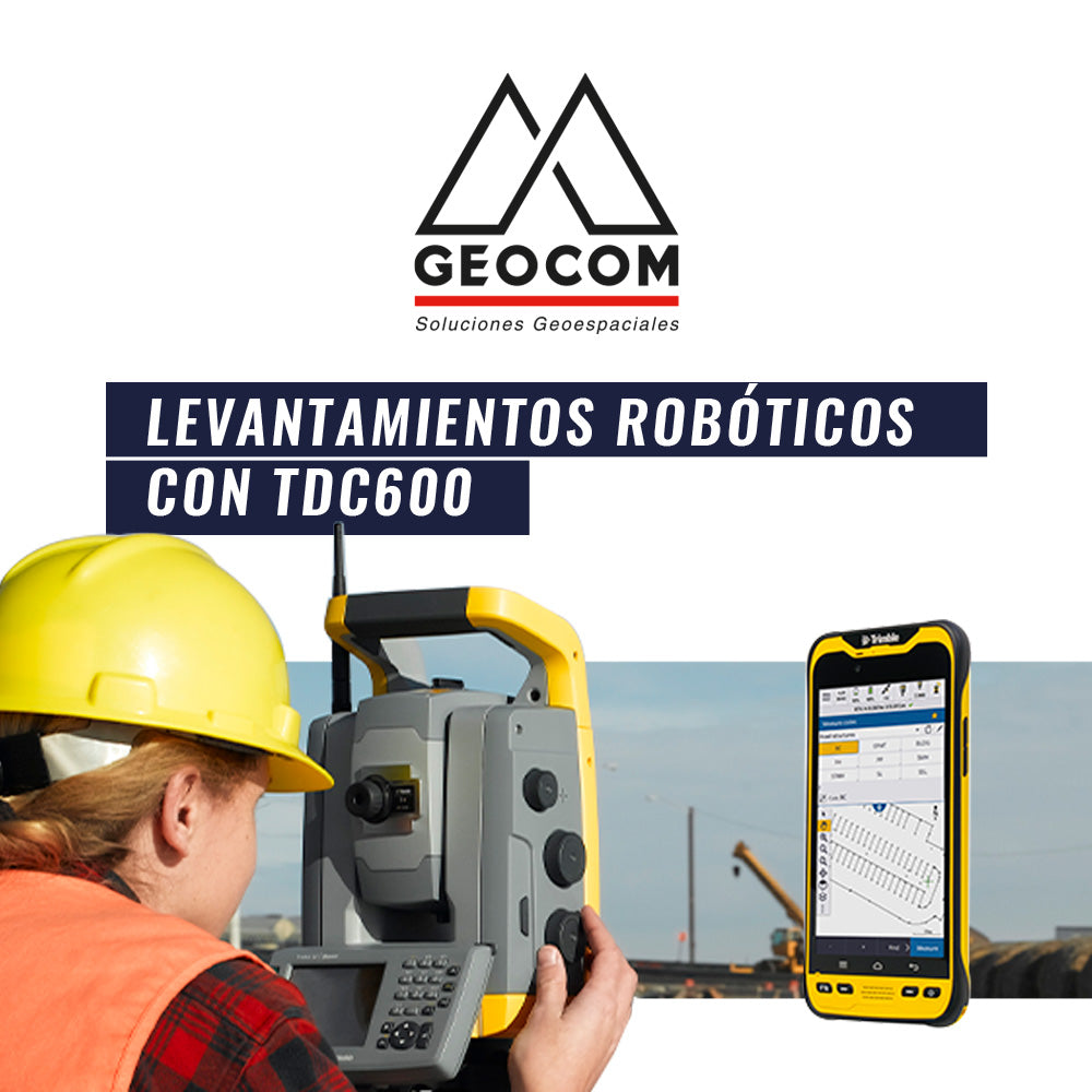

Robotic total stations have had a strong impact on improving the productivity of a variety of surveying tasks. Among the advantages they offer are remote operation, one-person survey crews, versatility in instrument setup, among others.
In this area, Trimble has recently launched the TDC600 controller, which links via Bluetooth to the total station, generating a wireless connection that allows the user to work robotically as long as the total station has Autolock.

We wanted to test this connection, as well as using the controller handheld, with a very simple example: determining a digital model to analyze slopes.
 Station view of the surface to be surveyed (photographs captured with Trimble VX)
For this task, a topographic coordinate system was defined from the first position and orientation of the total station (E1 and fixed E1-E0 azimuth). Then, from this same station, cycles were observed in direct and reverse to 4 densification points (P1, P2, P3, and P4), which will be used to establish the position and orientation of the next station. It is important to note that the observation of these cycles was performed using manual observations with the distancer in its Direct Reflex option (prism-less measurement).
 Diagram of total station setups (E1, E2, and E3) and densification points (P1 to P8)
First total station setup and cycle measurement to P1, P2, P3 and P4
With the station already set up and oriented, 116 points were measured using the robotic methodology. This means that the total station follows the prism, and the operator gives the command to record the point when the pole is level.
Robotic survey from station E1
This is how the station change to position E2 is carried out. The definition of these stations is not based on established points; the station is simply positioned in a convenient location. In this way, a free station (known as resection in Trimble Access) is performed, which is oriented to points P3 and P4, already determined in the previous position, and takes advantage of densifying points P5 and P6. This operation is highly productive since the coordinates of points that do not serve as references can be established with the same setup and orientation.
Free station determining the position and orientation for station E2
From station E2, a topographic survey is also carried out that complements the previous one. It is important that both determinations have the same reference with similar precisions so that both sets of points can be incorporated into the creation of the final surface.
Robotic survey from station E2
Finally, the last free station is developed in the same way as explained above.
Free station determining the position and orientation for station E3
As a complement to the robotic topographic surveys, a surface examination is carried out from station E3. For this, the examination is referenced to an axis defined in the field, creating a kind of cross-sections every 10 cm.
Surface examination
Data processing is performed in Trimble Business Center. This task begins with network adjustment. This is vital for the correct positioning and orientation of the stations performed.


Topographic network adjustment in Trimble Business Center
In this way, it is possible to construct two surfaces: one containing the points surveyed in the robotic topographic survey and another based on the surface examination.

Compartir:
UAS News | eMotion by senseFly
UAS News | Flight Path Processing in eMotion